MyTopo
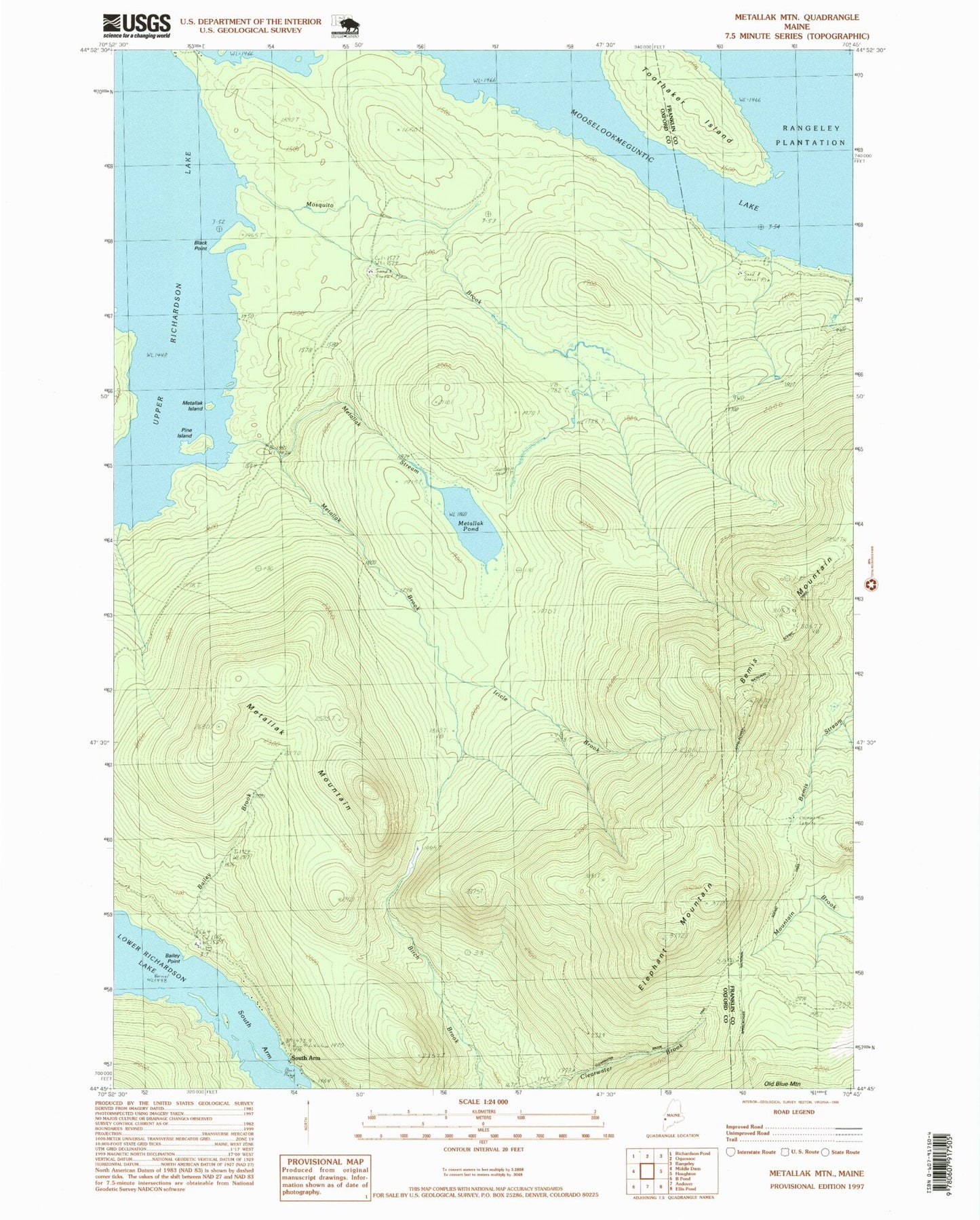
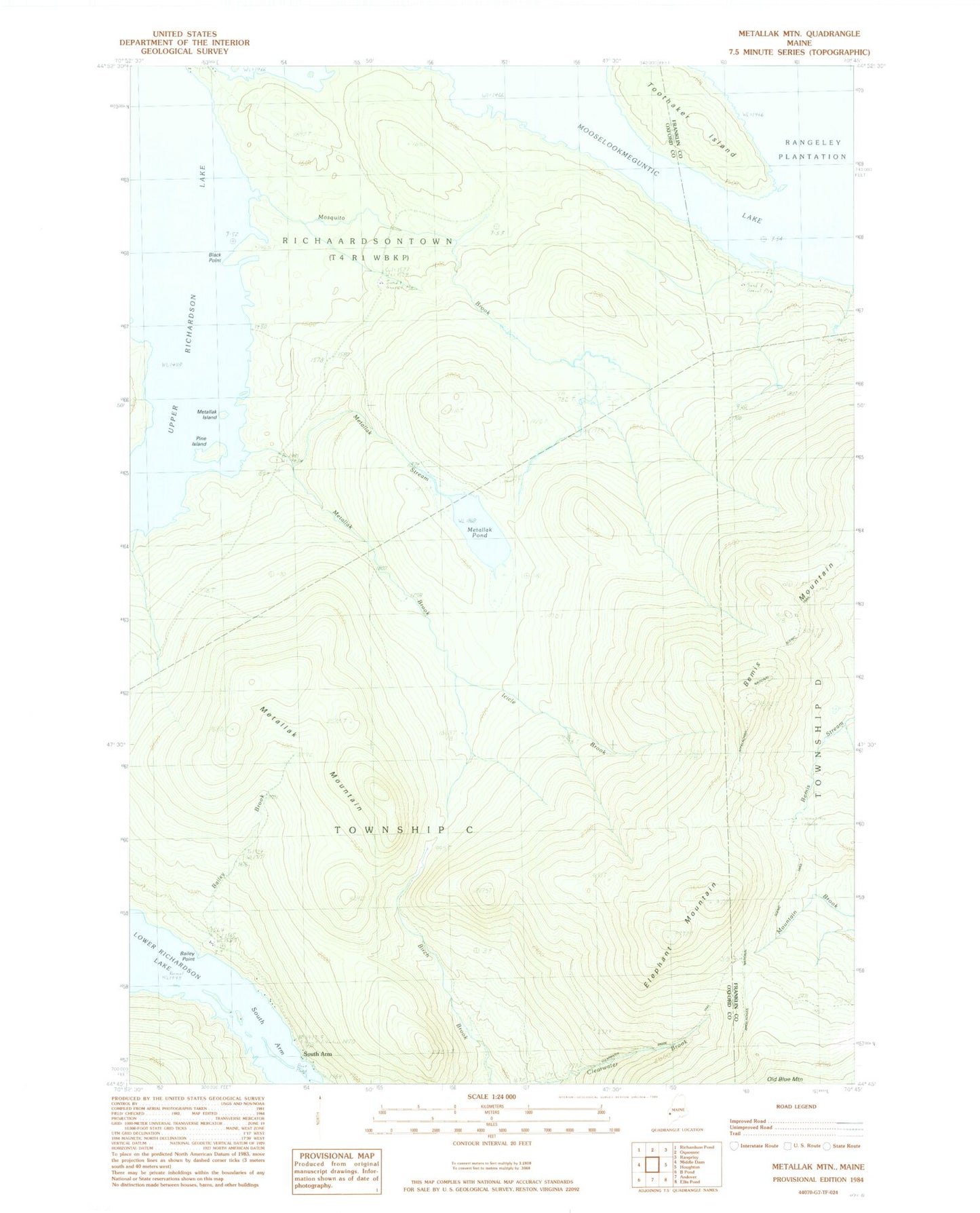
Classic USGS Metallak Mountain Maine 7.5'x7.5' Topo Map
Couldn't load pickup availability
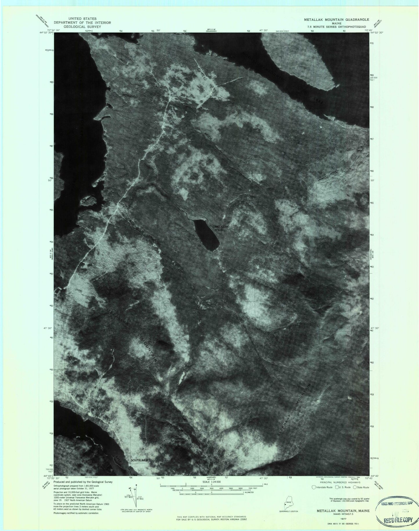
Historical USGS topographic quad map of Metallak Mountain in the state of Maine. Typical map scale is 1:24,000, but may vary for certain years, if available. Print size: 24" x 27"
This quadrangle is in the following counties: Franklin, Oxford.
The map contains contour lines, roads, rivers, towns, and lakes. Printed on high-quality waterproof paper with UV fade-resistant inks, and shipped rolled.
Contains the following named places: Bailey Brook, Bailey Point, Bemis Mountain, Black Point, Elephant Mountain, Icicle Brook, Metallak Brook, Metallak Island, Metallak Mountain, Metallak Pond, Metallak Stream, Mosquito Brook, Pine Island, South Arm Lower Richardson Lake, Toothaker Island, Upper Richardson Lake, South Arm, South Arm Campground, Whitneys Point, Richardsontown Township, Bailey Brook, Bailey Point, Bemis Mountain, Black Point, Elephant Mountain, Icicle Brook, Metallak Brook, Metallak Island, Metallak Mountain, Metallak Pond, Metallak Stream, Mosquito Brook, Pine Island, South Arm Lower Richardson Lake, Toothaker Island, Upper Richardson Lake, South Arm, South Arm Campground, Whitneys Point, Richardsontown Township