MyTopo
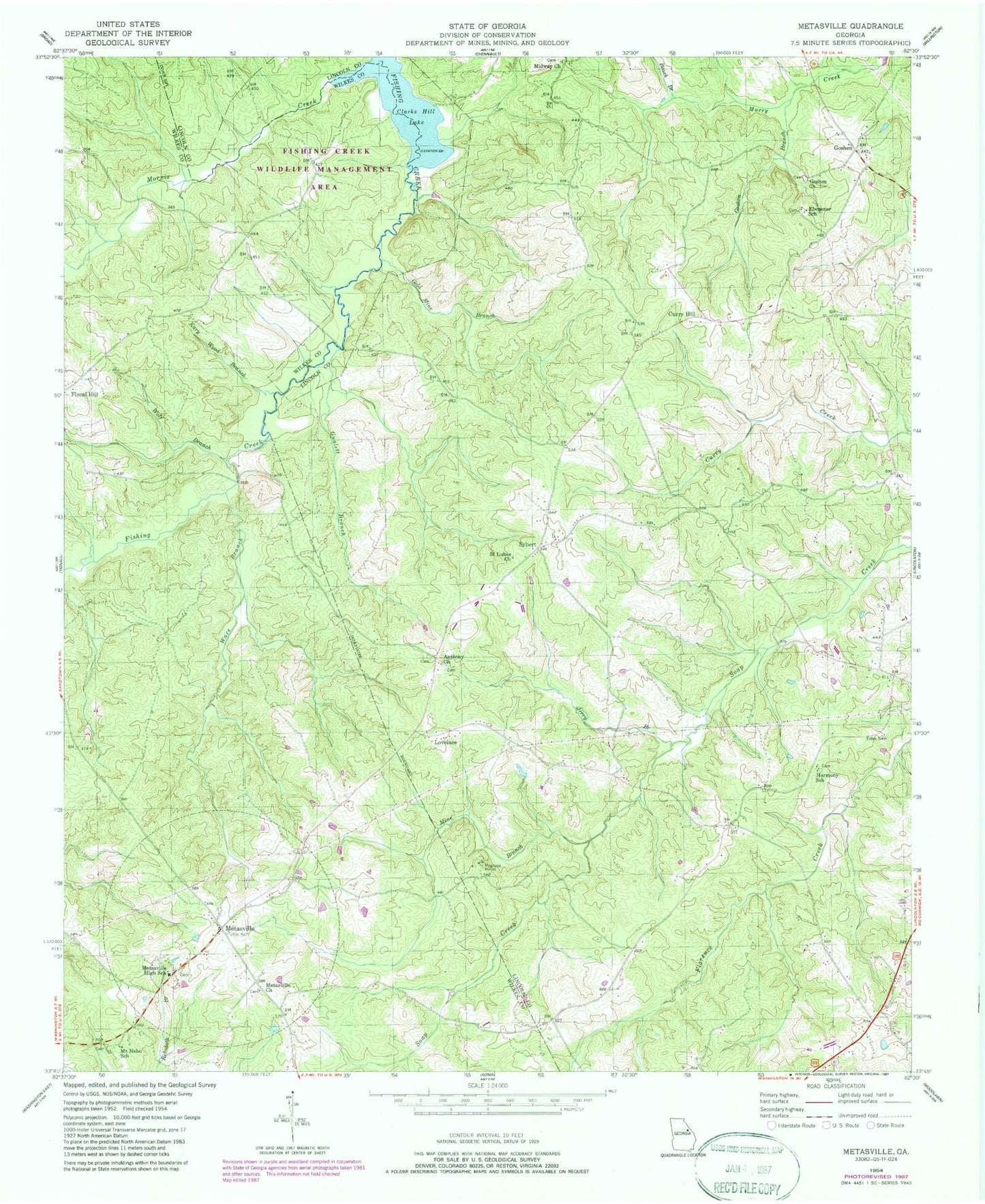
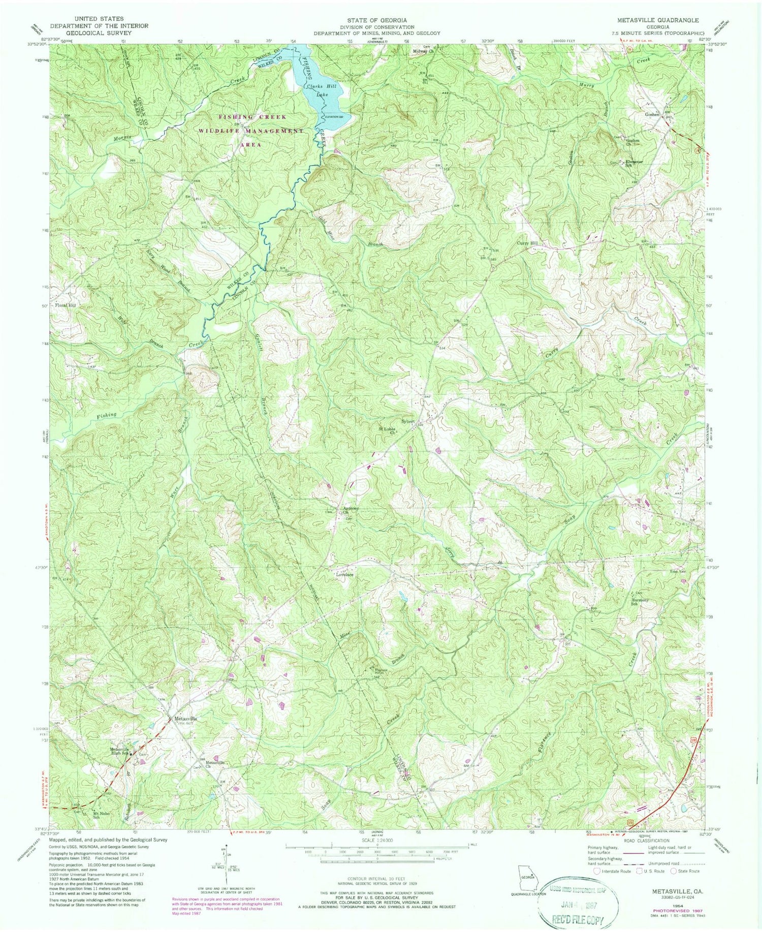
Classic USGS Metasville Georgia 7.5'x7.5' Topo Map
Couldn't load pickup availability
Historical USGS topographic quad map of Metasville in the state of Georgia. Typical map scale is 1:24,000, but may vary for certain years, if available. Print size: 24" x 27"
This quadrangle is in the following counties: Lincoln, Wilkes.
The map contains contour lines, roads, rivers, towns, and lakes. Printed on high-quality waterproof paper with UV fade-resistant inks, and shipped rolled.
Contains the following named places: Ebenezer School, Estes Cemetery, Gold Mine Branch, Goshen Branch, Gualett Branch, Harmony School, Jerry Branch, Kary Wood Branch, Magruda Mines, Metasville Church, Metasville High School, Midway Church, Mine Branch, Morris Creek, Mount Nebo School, Saint Johns School, Saint Lukes Church, Ware Branch, Wolf Branch, Lovelace, Metasville, Sybert, Beach Branch, Curry Hill, Goshen, Ebenezer Church, Harmony Church, Fishing Creek Public Hunting Area, Jones Chapel, Mount Nebo Church, Anthonys Chapel Cemetery, Goshen Cemetery, Midway Cemetery, Anthony Church, Goshen Church, Lincolnton Division, Metasville Fire Department, Rehoboth Baptist Cemetery, Ebenezer Baptist Cemetery


