MyTopo
Classic USGS Metcalf Gap Texas 7.5'x7.5' Topo Map
Regular price
$16.95
Regular price
Sale price
$16.95
Unit price
per
Couldn't load pickup availability
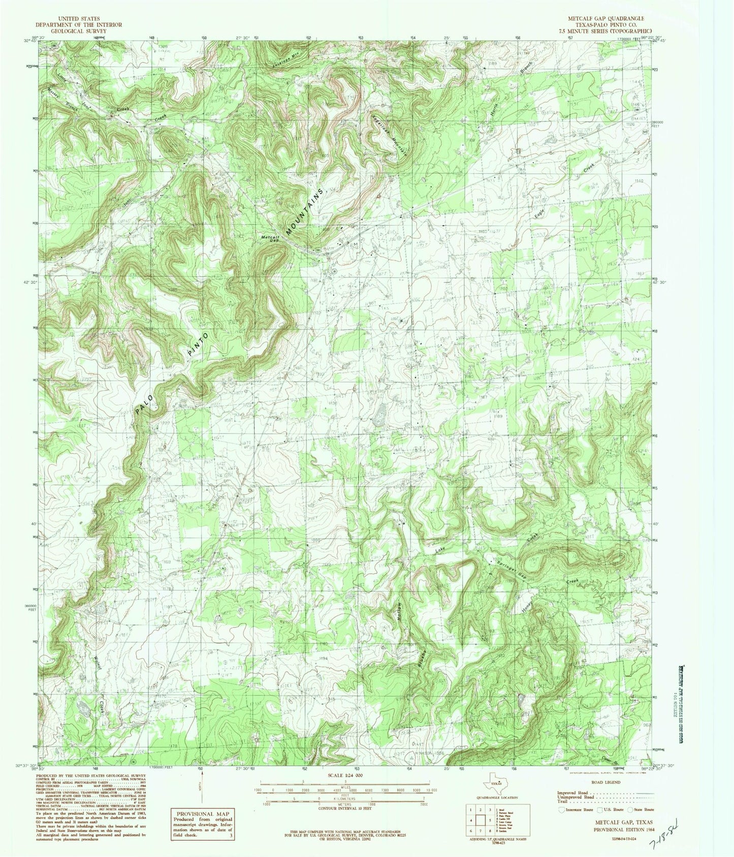
Historical USGS topographic quad map of Metcalf Gap in the state of Texas. Map scale may vary for some years, but is generally around 1:24,000. Print size is approximately 24" x 27"
This quadrangle is in the following counties: Palo Pinto.
The map contains contour lines, roads, rivers, towns, and lakes. Printed on high-quality waterproof paper with UV fade-resistant inks, and shipped rolled.
Contains the following named places: Antelope Mountain, Brushy Hollow, Dodson Prairie Church, Dodson Prairie Community Hall, Hodgkins Lake, Hodgkins Lake Dam, Little Ioni Creek, Massey Branch, Metcalf Gap, Metcalf Gap Oil Field, Springer Gap, Strawn-Gordon Division, Sugarloaf Mountain, ZIP Code: 76475