MyTopo
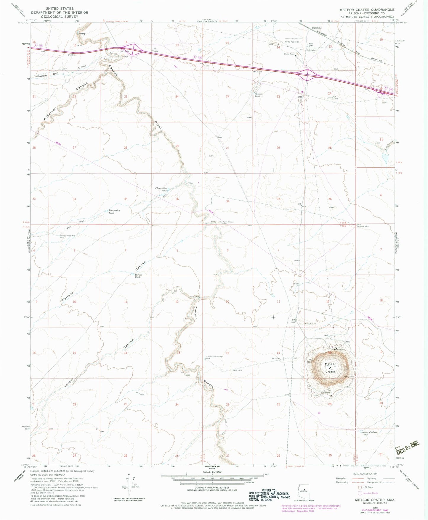
Classic USGS Meteor Crater Arizona 7.5'x7.5' Topo Map
Couldn't load pickup availability
Historical USGS topographic quad map of Meteor Crater in the state of Arizona. Map scale may vary for some years, but is generally around 1:24,000. Print size is approximately 24" x 27"
This quadrangle is in the following counties: Coconino.
The map contains contour lines, roads, rivers, towns, and lakes. Printed on high-quality waterproof paper with UV fade-resistant inks, and shipped rolled.
Contains the following named places: Anderson Canyon, Bumpy Road Well, Canyon Diablo Dam, Canyon Diablo Reservoir, Canyon Diablo Well, Chilson Tank, Clounch Well, Corner Lake, Horse Pasture Tank, Meteor Crater, Phone Line Tank, Prosperity Tank, Rimmy Jims, Sunshine, Sunshine Microwave Relay Station, Sunshine Railroad Station, Two Guns, Wagon Box Draw, Wallace Canyon, Yaeger Canyon