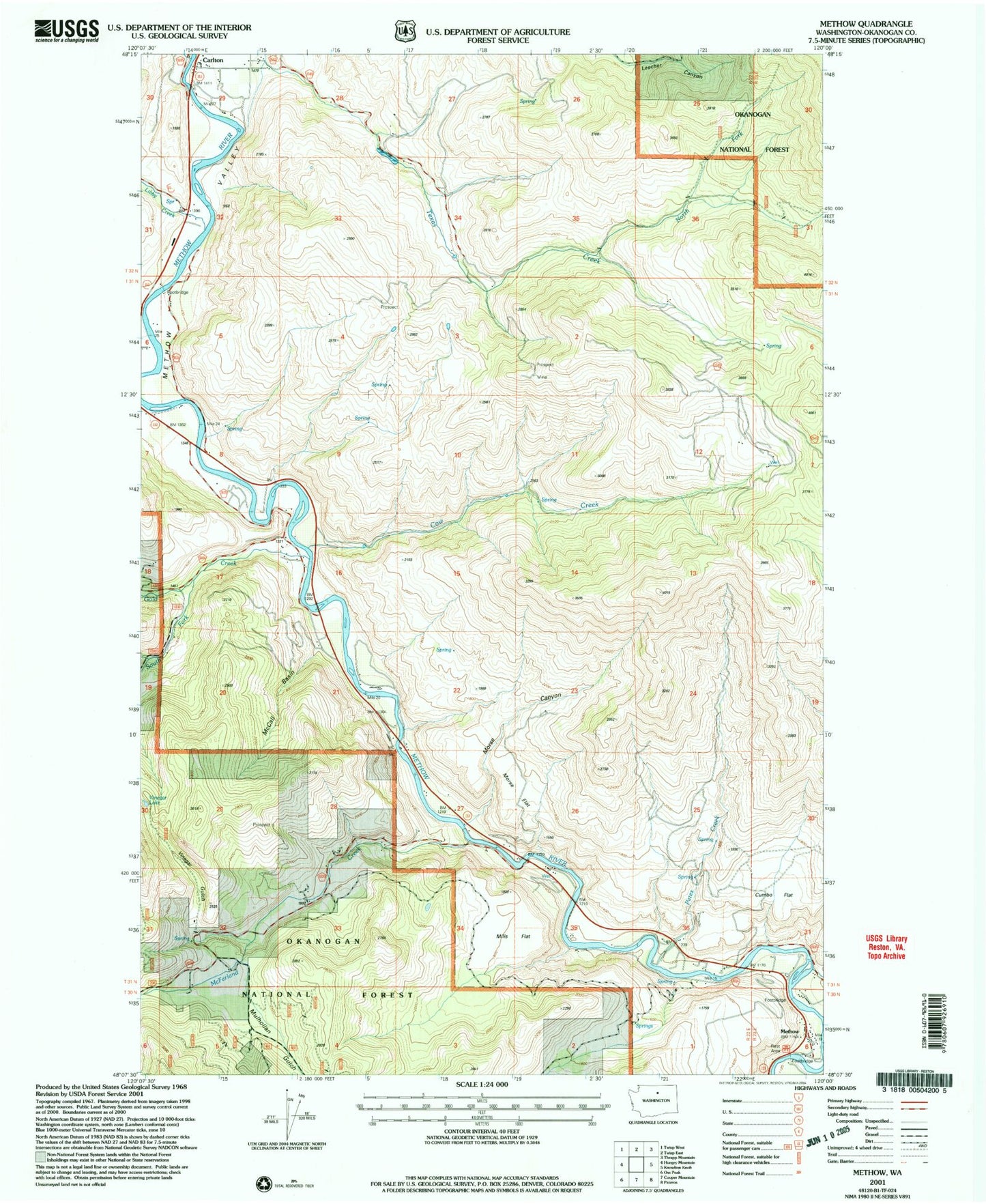
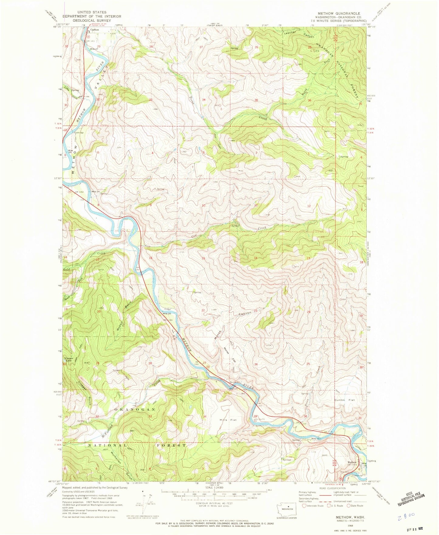
MyTopo
Classic USGS Methow Washington 7.5'x7.5' Topo Map
Couldn't load pickup availability
Historical USGS topographic quad map of Methow in the state of Washington. Map scale may vary for some years, but is generally around 1:24,000. Print size is approximately 24" x 27"
This quadrangle is in the following counties: Okanogan.
The map contains contour lines, roads, rivers, towns, and lakes. Printed on high-quality waterproof paper with UV fade-resistant inks, and shipped rolled.
Contains the following named places: Carlton, Cow Creek, Cumbo Flat, Douglas - Okanogan County Fire District 15 Methow Station 30, French Creek, Gold Creek, Libby Creek, Lightning Pine Recreational Vehicle Park, McCall Basin, McFarland Creek, Methow, Methow Census Designated Place, Methow Community Church, Methow Post Office, Methow Valley, Mills Flat, Morse Canyon, Morse Flat, Mulhollan Gulch, North Fork Texas Creek, Petes Creek, Pianosa Flying Farm, Puckett Creek, South Fork Gold Creek, Texas Creek, Vinegar Gulch