MyTopo
Classic USGS Mexia Texas 7.5'x7.5' Topo Map
Couldn't load pickup availability
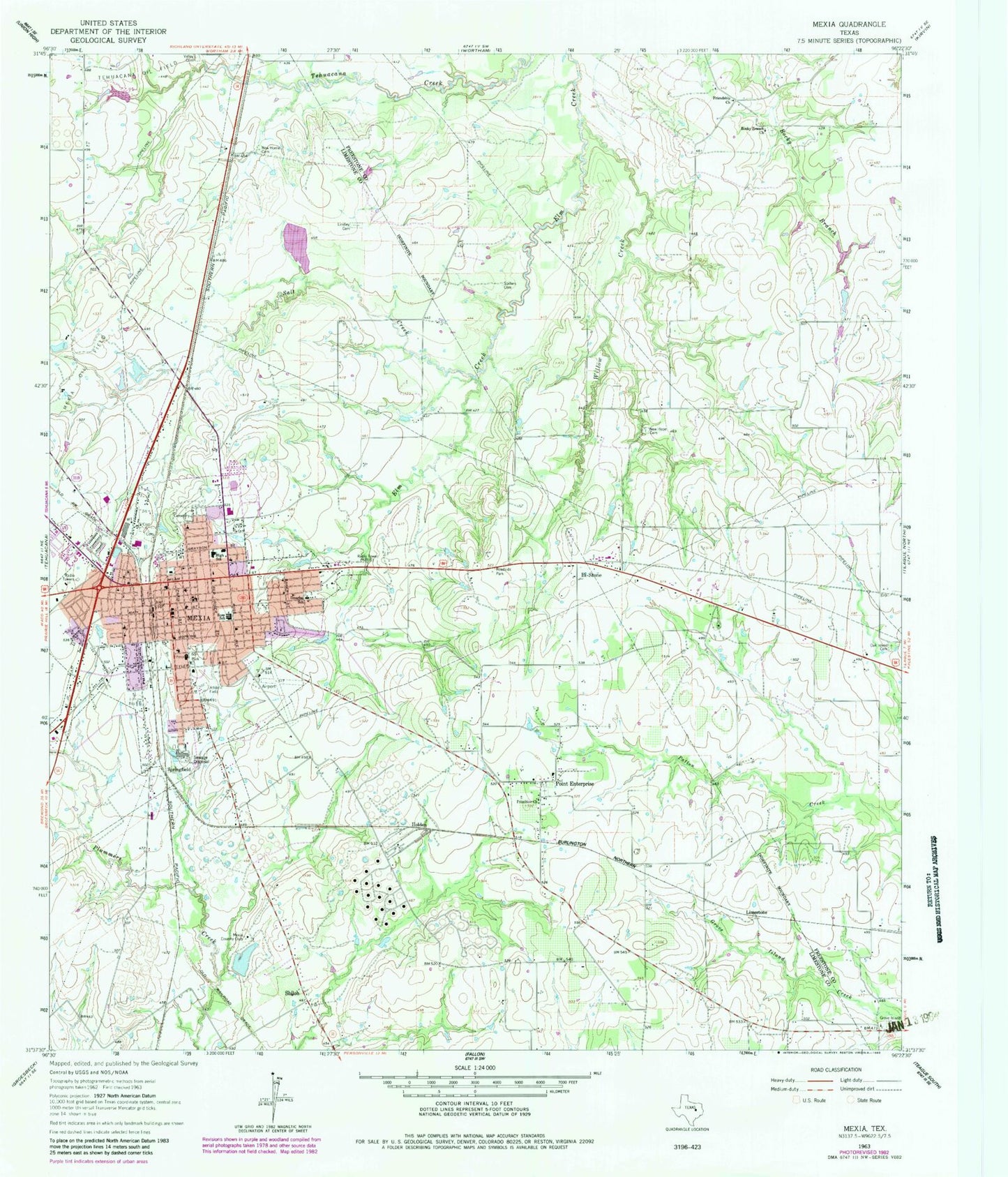
Historical USGS topographic quad map of Mexia in the state of Texas. Map scale may vary for some years, but is generally around 1:24,000. Print size is approximately 24" x 27"
This quadrangle is in the following counties: Freestone, Limestone.
The map contains contour lines, roads, rivers, towns, and lakes. Printed on high-quality waterproof paper with UV fade-resistant inks, and shipped rolled.
Contains the following named places: A B McBay Elementary School, Alexander Chapel Primitive Baptist Church, Antioch Baptist Church, Bi-Stone, Church of Christ, City of Mexia, Douglas School, Dunbar High School, Faith Lutheran Church, First Baptist Church Mexia, First Pentecostal Church of God, First Presbyterian Church, Ford Chapel Baptist Church, Friendship Church, Glad Tidings Assembly of God Church, Grove Island Cemetery, Holden, KRQX-AM (Mexia), Limestone, Lindley Cemetery, Little Zion Baptist Church, Mexia, Mexia City Hall, Mexia City Park, Mexia Country Club, Mexia Country Club Lake, Mexia Country Club Lake Dam, Mexia Developmental Center, Mexia Fire Department, Mexia High School, Mexia Middle School, Mexia Police Department, Mexia Post Office, New Home Cemetery, New Hope Cemetery, Northside Baptist Church, Oak Island Cemetery, Parkview Regional Hospital, Point Enterprise, Primitive Church, PT Enterprise D&W Ranch Airport, R Q Sims Intermediate School, Rocky Branch Church, Ross School, Saint John African Methodist Episcopal Church, Saint Luke United Methodist Church, Saint Marys Catholic Church, Salt Creek, South McKinney Street Baptist Church, Spillers Cemetery, Springfield, Sweet Home Baptist Church, Temple Baptist Church, Union Baptist Church, Valley Cemetery, Westside Church of Christ, Willow Creek, ZIP Code: 76667


