MyTopo
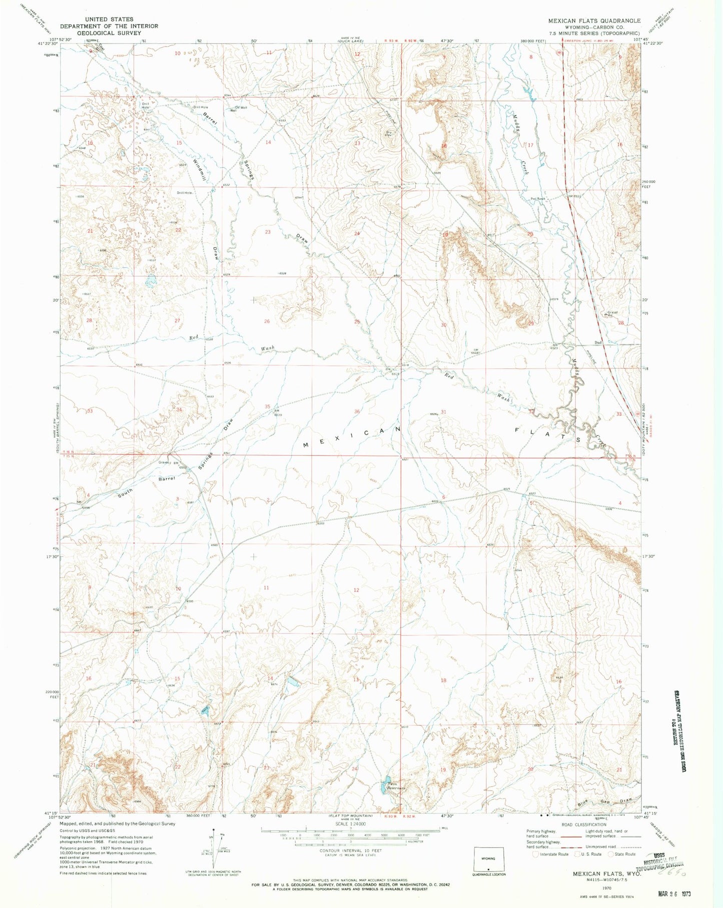
Classic USGS Mexican Flats Wyoming 7.5'x7.5' Topo Map
Regular price
$16.95
Regular price
Sale price
$16.95
Unit price
per
Couldn't load pickup availability
Historical USGS topographic quad map of Mexican Flats in the state of Wyoming. Map scale may vary for some years, but is generally around 1:24,000. Print size is approximately 24" x 27"
This quadrangle is in the following counties: Carbon.
The map contains contour lines, roads, rivers, towns, and lakes. Printed on high-quality waterproof paper with UV fade-resistant inks, and shipped rolled.
Contains the following named places: Barrel Springs Draw, Coal Gulch, Dad, Dad Larsen Detention Dam 1593 Number 6, Mexican Flats, Pool Ranch, Red Wash, South Barrel Springs Draw, Twin Reservoirs, Windmill Draw