MyTopo
Classic USGS Mexican Pass Wyoming 7.5'x7.5' Topo Map
Regular price
$16.95
Regular price
Sale price
$16.95
Unit price
per
Couldn't load pickup availability
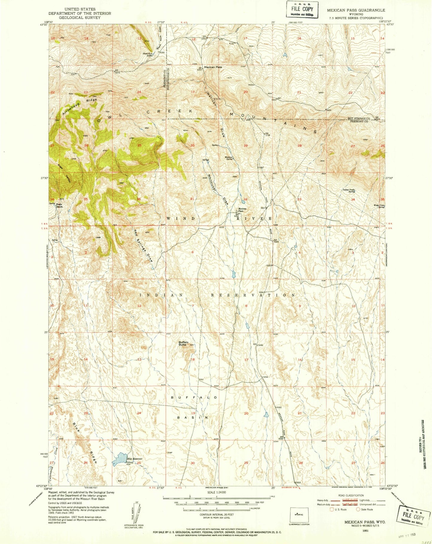
Historical USGS topographic quad map of Mexican Pass in the state of Wyoming. Map scale may vary for some years, but is generally around 1:24,000. Print size is approximately 24" x 27"
This quadrangle is in the following counties: Fremont, Hot Springs.
The map contains contour lines, roads, rivers, towns, and lakes. Printed on high-quality waterproof paper with UV fade-resistant inks, and shipped rolled.
Contains the following named places: Arrowhead Ridge, Black Rock Spring, Blue Reservoir, Blue Ridge, Buffalo Butte, Engle Canyon, Engle Ranch, Indian Trails Spring, Mexican Draw, Mexican Pass, Mexican Place, Mexican Spring, Shearing Pen Draw, Water Cress Spring, Whitticker Draw