MyTopo
Classic USGS Mexican Water Arizona 7.5'x7.5' Topo Map
Regular price
$16.95
Regular price
Sale price
$16.95
Unit price
per
Couldn't load pickup availability
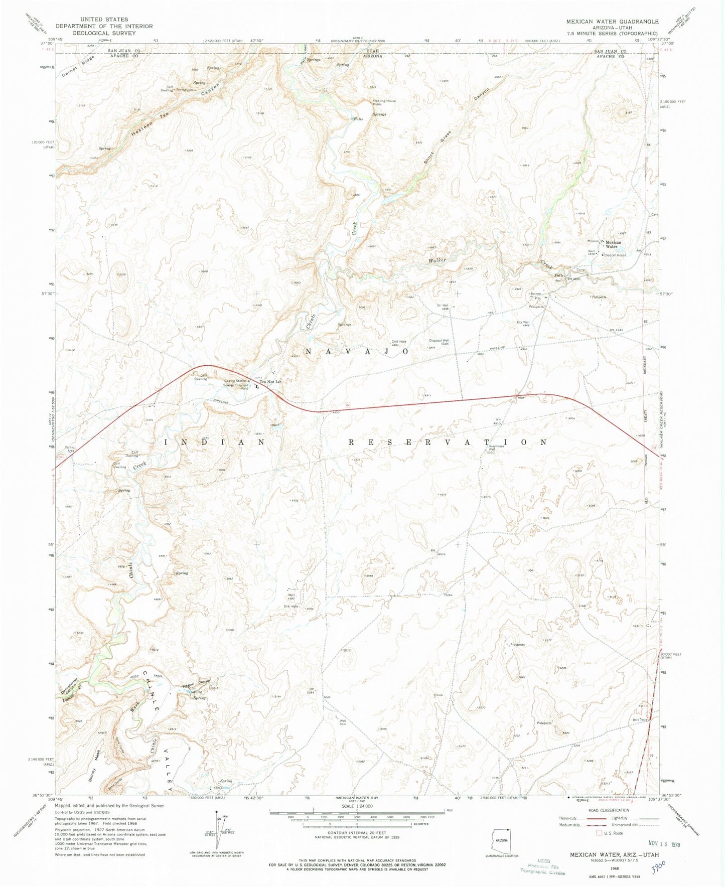
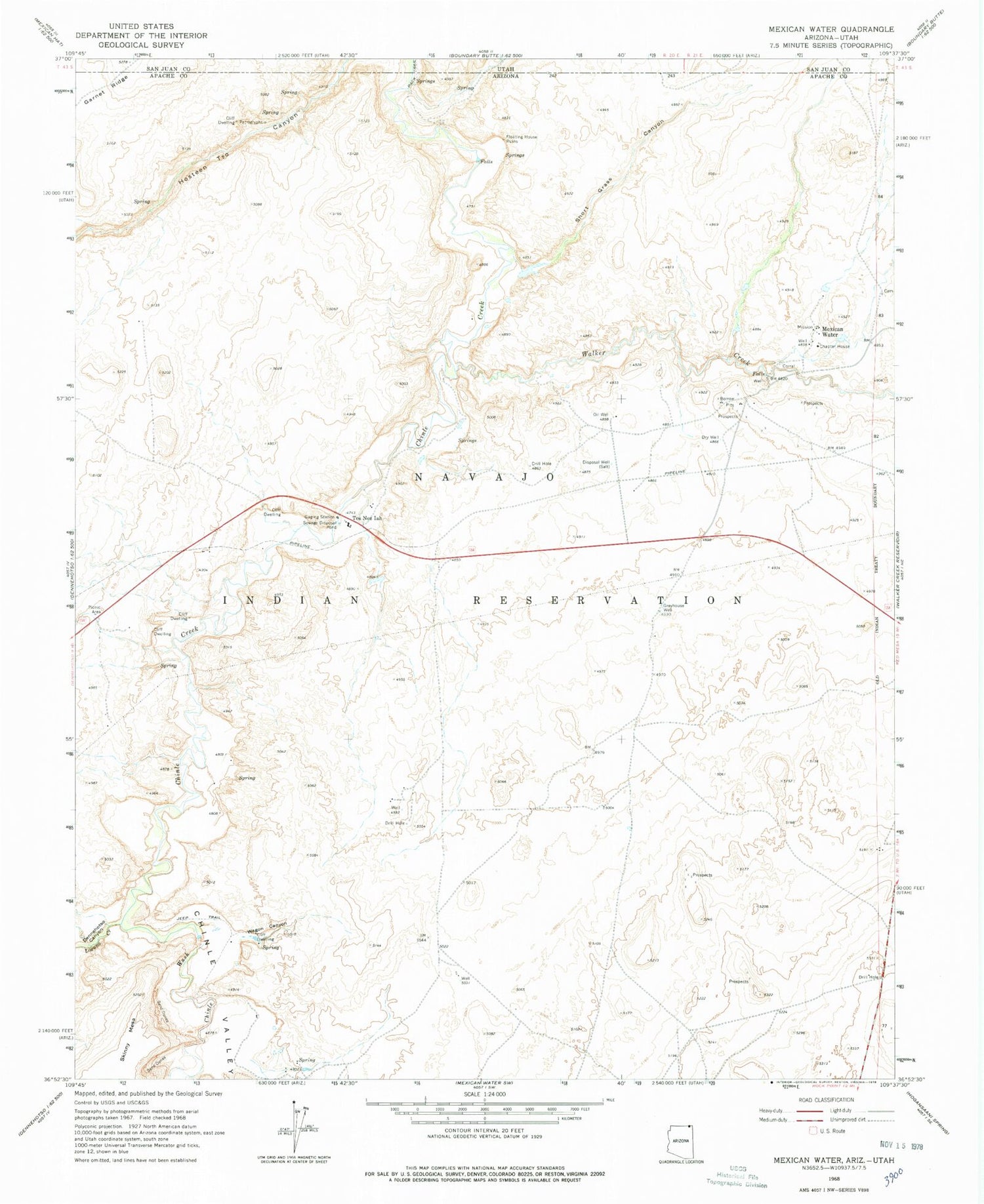
Historical USGS topographic quad map of Mexican Water in the states of Arizona, Utah. Map scale may vary for some years, but is generally around 1:24,000. Print size is approximately 24" x 27"
This quadrangle is in the following counties: Apache, San Juan.
The map contains contour lines, roads, rivers, towns, and lakes. Printed on high-quality waterproof paper with UV fade-resistant inks, and shipped rolled.
Contains the following named places: Chinle Wash, Dennehotso Canyon, Garnet Ridge, Greyhouse Well, Hosteen Tso Canyon, Laguna Creek, Mexican Water, Short Grass Canyon, Tes Nez Iah, Wagon Canyon, Walker Creek