MyTopo
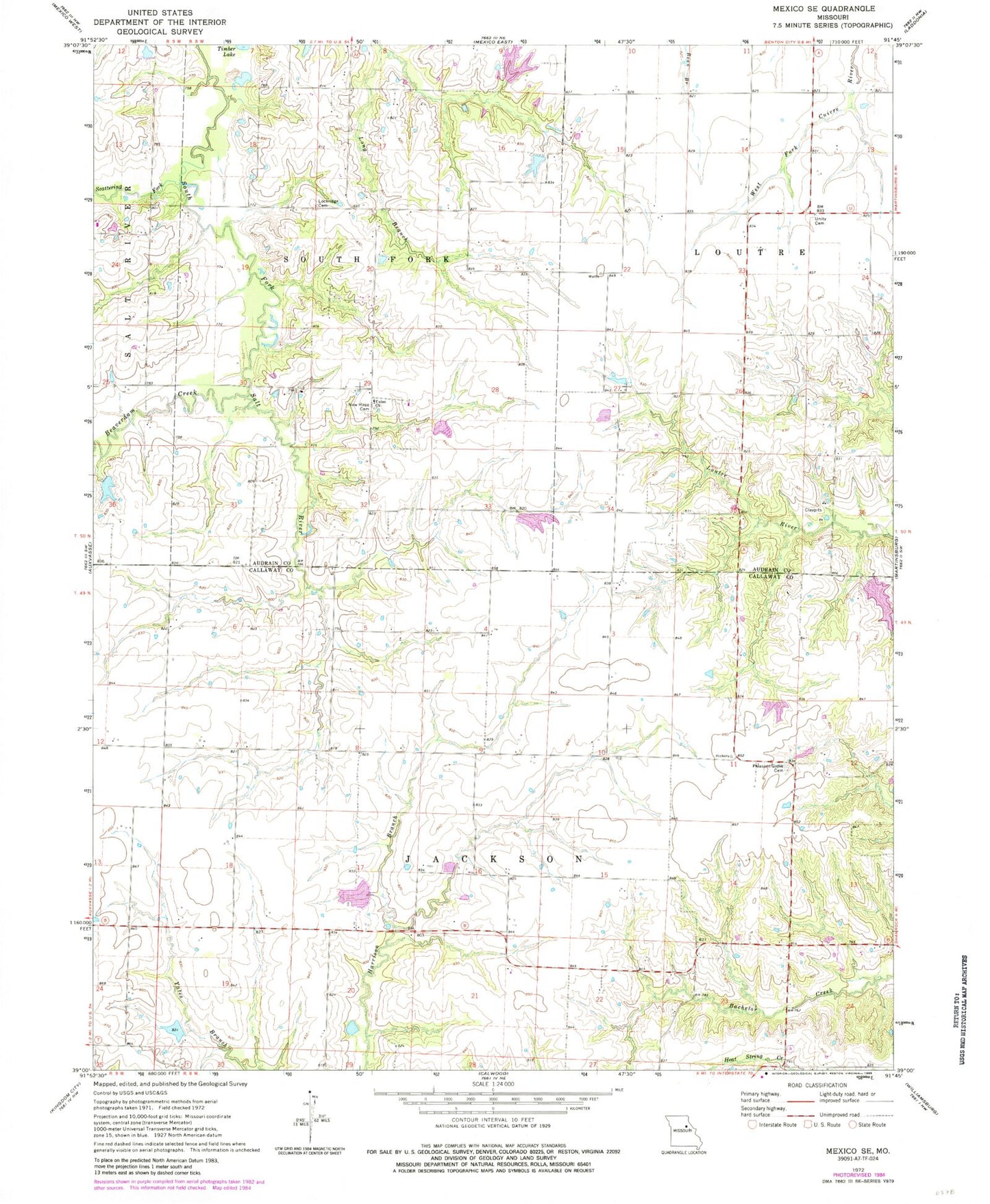
Classic USGS Mexico SE Missouri 7.5'x7.5' Topo Map
Couldn't load pickup availability
Historical USGS topographic quad map of Mexico SE in the state of Missouri. Map scale may vary for some years, but is generally around 1:24,000. Print size is approximately 24" x 27"
This quadrangle is in the following counties: Audrain, Callaway.
The map contains contour lines, roads, rivers, towns, and lakes. Printed on high-quality waterproof paper with UV fade-resistant inks, and shipped rolled.
Contains the following named places: Beaverdam Creek, Boles School, Braun Lake Dam, Buckner Lake Dam, Don Woods Lake, Hickory Grove School, Jackson School, Lockridge Cemetery, New Hope Cemetery, Number 222 Reservoir, Pleasant Grove Cemetery, Rogers Lake Dam, Scattering Fork, Stauffer School, Sunrise School, Timber Lake, Township of Jackson, Union Church, Unity Cemetery, Watts Branch, Whalen Dam, White Oak Branch, Woods Dam North, Woods Dam South