MyTopo
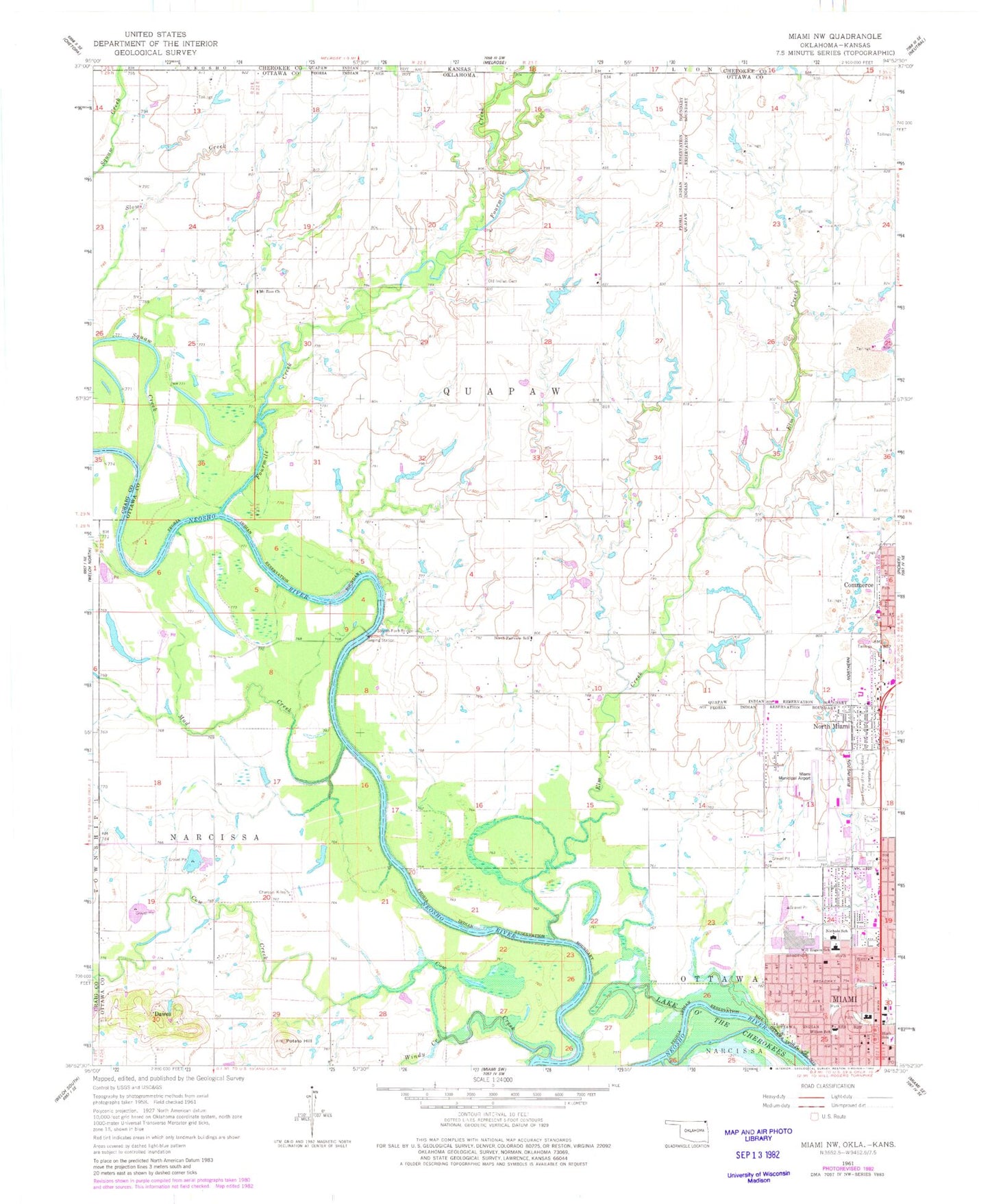
Classic USGS Miami NW Oklahoma 7.5'x7.5' Topo Map
Couldn't load pickup availability
Historical USGS topographic quad map of Miami NW in the state of Oklahoma. Map scale may vary for some years, but is generally around 1:24,000. Print size is approximately 24" x 27"
This quadrangle is in the following counties: Cherokee, Craig, Ottawa.
The map contains contour lines, roads, rivers, towns, and lakes. Printed on high-quality waterproof paper with UV fade-resistant inks, and shipped rolled.
Contains the following named places: Abounding Faith Ministries Church, All Saints Episcopal Church, Baptist Regional Health Center Heliport, Christian Church Bethany, Church of Christ, Coal Creek, Commerce Police Department, Commerce Post Office, Commerce Volunteer Fire Department, Cow Creek, Dawes, Elm Creek, First Christian Church, First Free Will Baptist Church, First United Pentecostal Church, Fourmile Creek, Grand Army of the Republic Cemetery, Harvest Time Tabernacle, Main Attraction Beauty Academy, Market Square, Miami Fire Department North Station, Miami First United Methodist Church, Miami Oklahoma Tribal Statistical Area, Miami Police Department, Miami Post Office, Miami Regional Airport, Miami/Peoria Joint-Use Oklahoma Tribal Statistical Area, Mount Olive Lutheran Church, Mount Olive Lutheran School, Mount Zion Church, Mud Creek, Nichols Elementary School, North Fairview School, North Miami, North Miami Christian Church, North Miami Police Department, North Miami Post Office, Northwest Assembly of God Church, Northwest Baptist Church, Old Indian Cemetery, Potato Hill, Riverside Baptist Church, Sacred Heart Catholic Church, Squaw Creek, Stepps Ford Bridge, Town of North Miami, Will Rogers Middle School, Wilson Elementary School, Windy Creek, ZIP Codes: 74339, 74354, 74358


