MyTopo
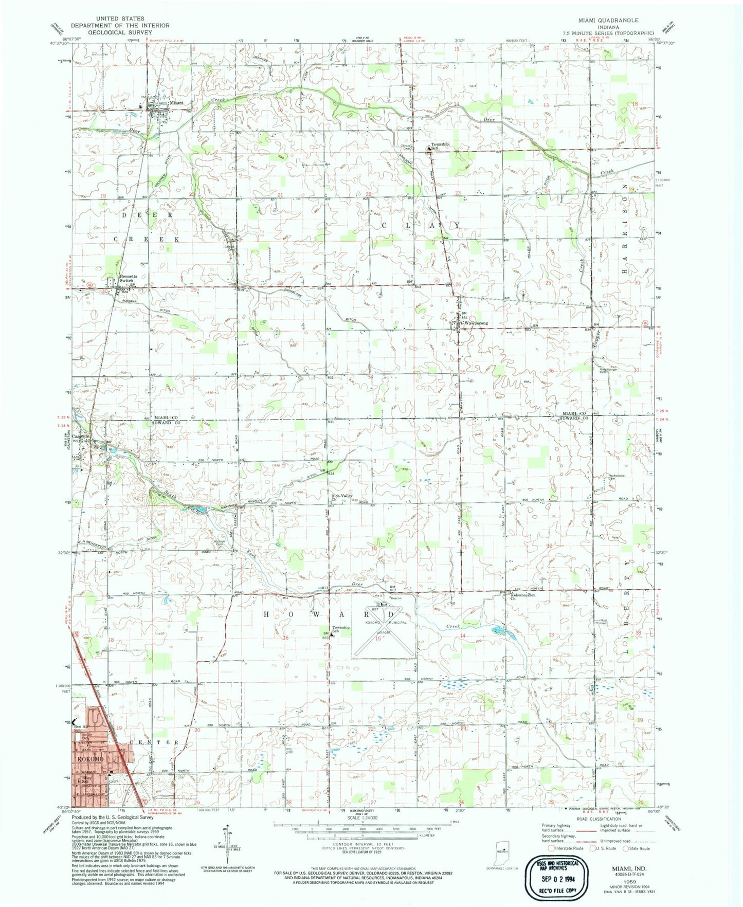
Classic USGS Miami Indiana 7.5'x7.5' Topo Map
Couldn't load pickup availability
Historical USGS topographic quad map of Miami in the state of Indiana. Map scale may vary for some years, but is generally around 1:24,000. Print size is approximately 24" x 27"
This quadrangle is in the following counties: Howard, Miami.
The map contains contour lines, roads, rivers, towns, and lakes. Printed on high-quality waterproof paper with UV fade-resistant inks, and shipped rolled.
Contains the following named places: Bennetts Switch, Bon Air Elementary and Middle School, Bon Air Park, Cassville, Chitick Cemetery, Climer Cemetery, Copper Creek, Coucher Ditch, Dorflingers Airport, Grinslade Ditch, Hershberger Cemetery, Hochstedler Cemetery, Hudson Cemetery, Jenkins Ditch, Klise Ditch, Kokomo Municipal Airport, Kokomo Zion Church, Mast - Hensler Cemetery, Matthew Anaker Ditch, Miami, Miller Ditch, Rich Valley Church, Riley School, Shrock Ditch, Township of Clay, Township of Howard, W N Henderson Ditch, Wawpecong, Wise Ditch, ZIP Code: 46959