MyTopo
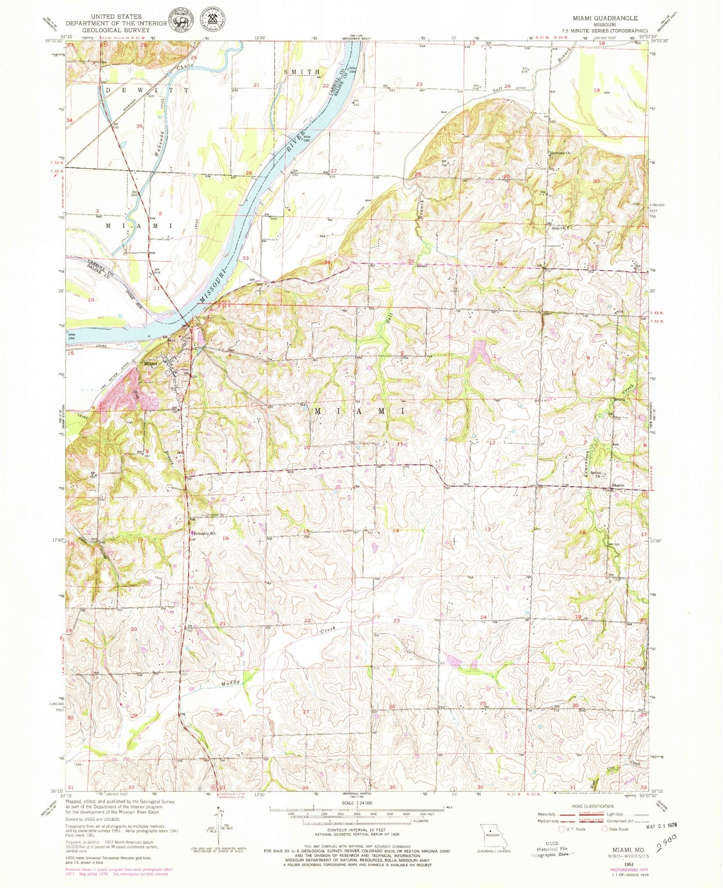
Classic USGS Miami Missouri 7.5'x7.5' Topo Map
Couldn't load pickup availability
Historical USGS topographic quad map of Miami in the state of Missouri. Map scale may vary for some years, but is generally around 1:24,000. Print size is approximately 24" x 27"
This quadrangle is in the following counties: Carroll, Saline.
The map contains contour lines, roads, rivers, towns, and lakes. Printed on high-quality waterproof paper with UV fade-resistant inks, and shipped rolled.
Contains the following named places: Bates School, Bell Branch, Bethel Church, Bluff School, Burruss School, Christian Cemetery, City of Miami, Elson Lake Dam, Elson Reservoir, Harmony Church, Lower Miami Bend, Miami, Miami Cemetery, Miami Elementary School, Miami Post Office, Middle Miami Bend, Pleasant Grove School, Reynolds School, Ross School, Sharon, Sharon School, Shilo Church, Township of Miami, Upper Miami Bend, Wakenda Creek, Wheeler School, ZIP Code: 65344