MyTopo
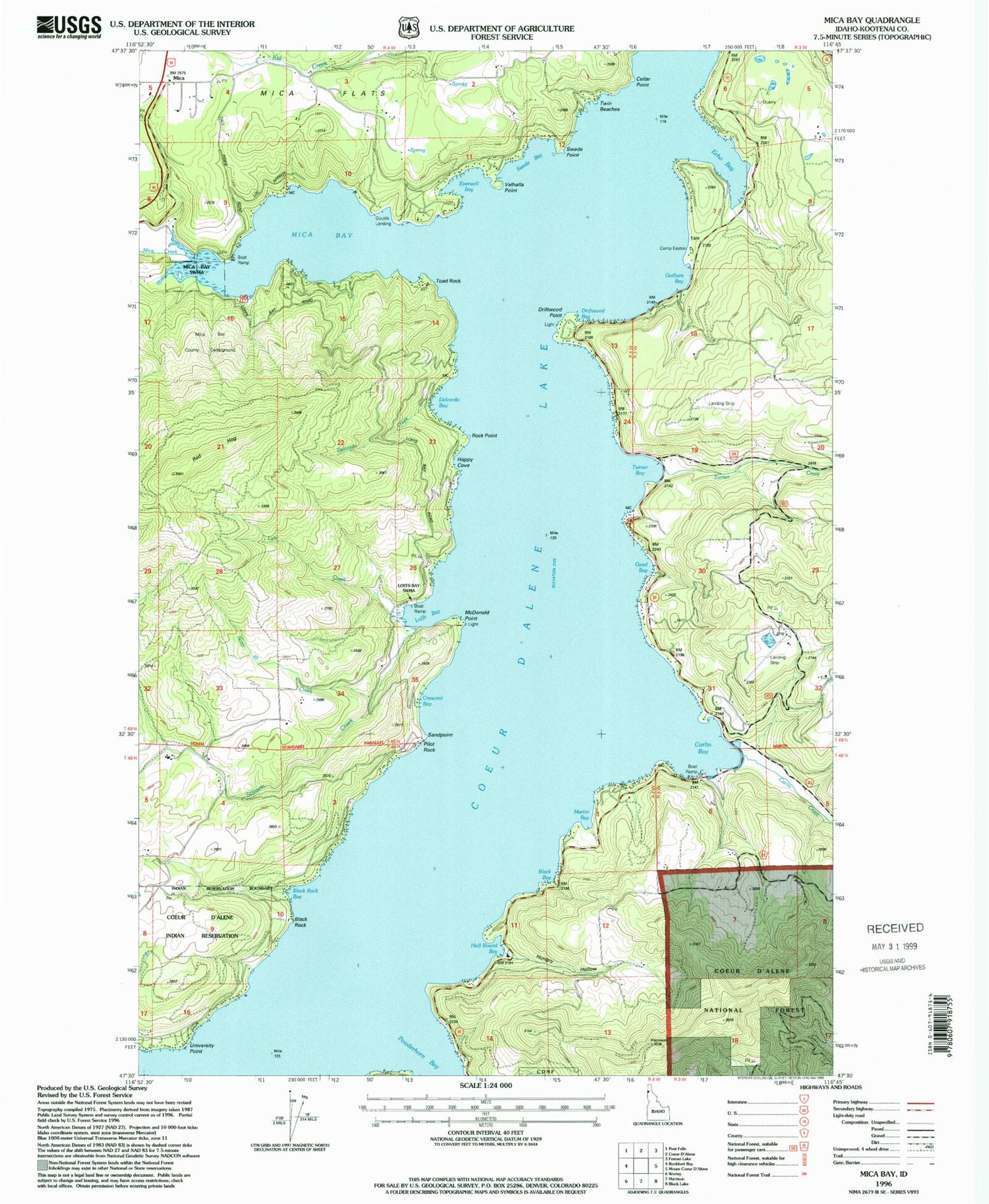
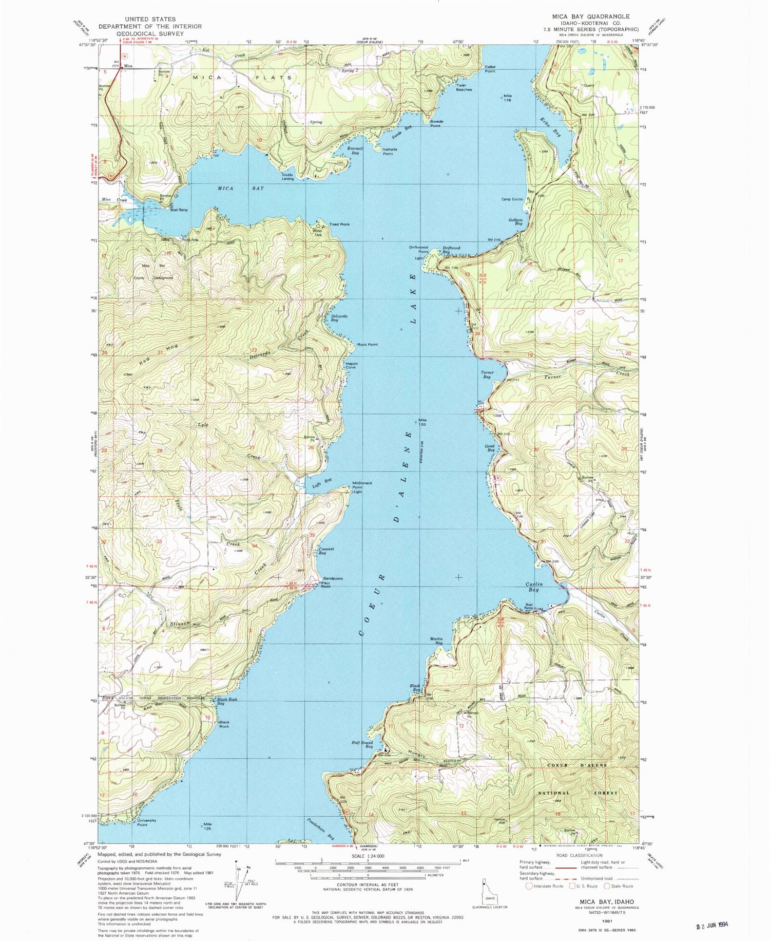
Classic USGS Mica Bay Idaho 7.5'x7.5' Topo Map
Couldn't load pickup availability
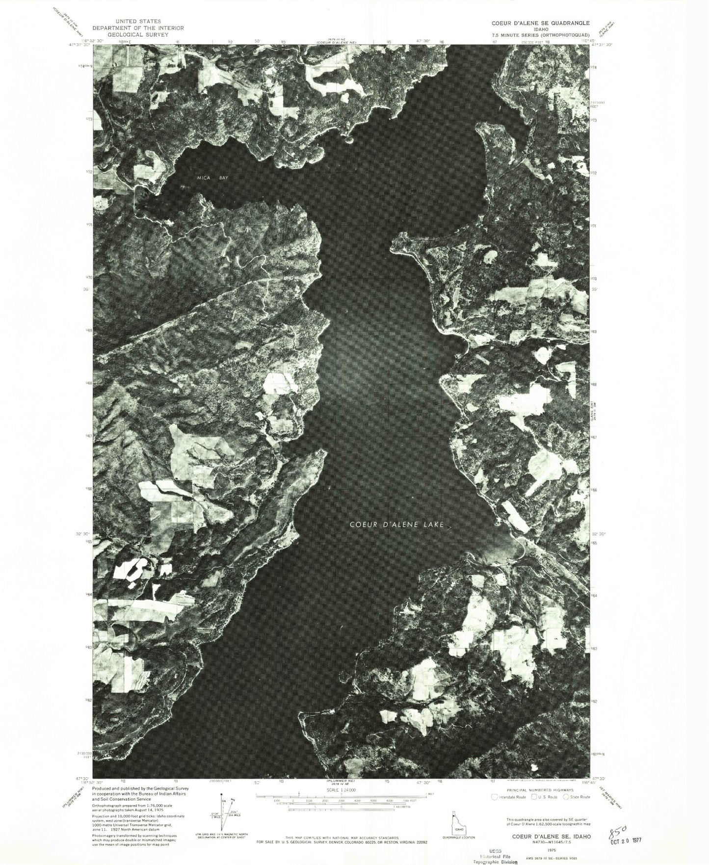
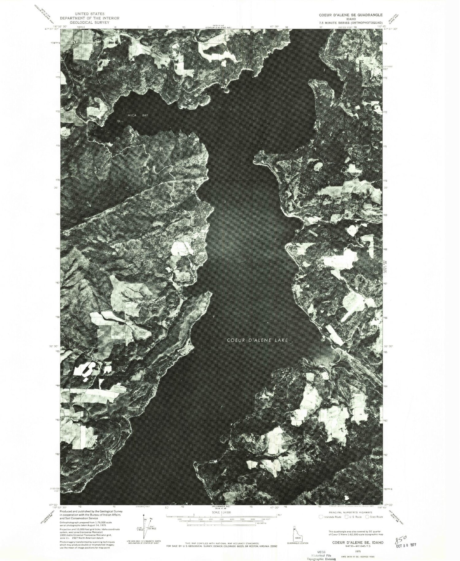
Historical USGS topographic quad map of Mica Bay in the state of Idaho. Map scale may vary for some years, but is generally around 1:24,000. Print size is approximately 24" x 27"
This quadrangle is in the following counties: Kootenai.
The map contains contour lines, roads, rivers, towns, and lakes. Printed on high-quality waterproof paper with UV fade-resistant inks, and shipped rolled.
Contains the following named places: Black Bay, Black Rock, Black Rock Bay, Camp Easton, Carlin Bay, Carlin Bay Airport, Carlin Creek, Carlin Grange, Cellar Point, Coeur d'Alene Lake, Crescent Bay, Delcardo Bay, Delcardo Creek, Driftwood Bay, Driftwood Point, East Side Fire District 1, East Side Fire District 2, Echo Bay, Everwell Bay, Gand Bay, Gotham Bay, Goulds Landing, Half Round Bay, Happy Cove, Hungry Hollow, Len Landing, Loffs Bay, Loffs Bay Access, Luther, Lyle Creek, Lyndale Landing, Lyondale, Martin Bay, McDonald Point, Mica, Mica - Kidd Island Fire Department, Mica Bay, Mica Bay Access Area, Mica Bay County Campground, Mica Creek, Pilot Rock Sandpoint, Pisch's Place Airport, Pugh Point, Red Hog, Scott Creek, Stinson Creek, Swede Bay, Swede Point, Swewla'qn Grove, Toad Rock, Turner Bay, Turner Creek, Twin Beaches, University Point, Valhalla Point, Worley Fire District Station 6