MyTopo
Classic USGS Michigan Center Michigan 7.5'x7.5' Topo Map
Couldn't load pickup availability
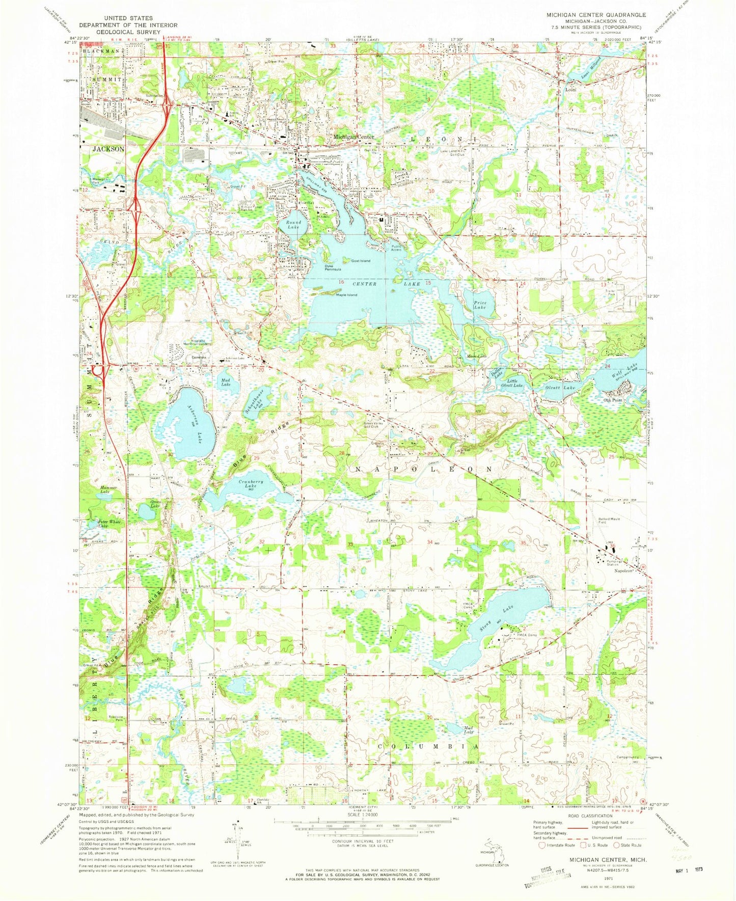
Historical USGS topographic quad map of Michigan Center in the state of Michigan. Map scale may vary for some years, but is generally around 1:24,000. Print size is approximately 24" x 27"
This quadrangle is in the following counties: Jackson.
The map contains contour lines, roads, rivers, towns, and lakes. Printed on high-quality waterproof paper with UV fade-resistant inks, and shipped rolled.
Contains the following named places: Ackerson Lake, Ackerson Lake School, Ackerson Lake Station, Ackerson Post Office, Arnold School, Blue Ridge, Booth Drain, Center Lake, Christ Lutheran Church, Church of God of Prophecy, Clarklake School, Cranberry Lake, Dollar Lake, Dyke Peninsula, Eldred Cemetery, Eldred Post Office, Eldred Station, Faith Baptist Chapel, Fatima School, Goat Island, Green Lake, Green Valley Golf Club, Hammer Lake, Hope Church, Huttenlocher Drain, Indian Village Mobile Home Park, Jackson Free Methodist Church, Keicher Elementary School, Lake Land Hills Golf Club, Leoni, Leoni Cemetery, Leoni Millpond, Leoni Post Office, Leoni Station, Leoni Township Fire Department Station 1 Headquarters, Leoni Township Police Department, Little Olcott Lake, Maple Island, Michigan Center, Michigan Center Bible Church, Michigan Center Census Designated Place, Michigan Center High School, Michigan Center Post Office, Michigan Center Station, Moon Lake, Mud Lake, Napoleon Airport, Napoleon Fire Department, Napoleon Township Fire Department Station 1 Headquarters, Napoleon Township Fire Department Station 2, Napoleon Township Police Department, Oak Point, Olcott Lake, Page Ave Church, Pentecostal Lighthouse Church, Peter White Lake, Price Lake, Roseland Memorial Gardens, Round Lake, Saint Aidans Church, Schoolhouse Lake, Stony Lake, Townsend Drain, Township of Napoleon, Van Wagnen Airport, Wellworth Park, ZIP Codes: 49201, 49234, 49254


