MyTopo
Classic USGS Michillinda Michigan 7.5'x7.5' Topo Map
Couldn't load pickup availability
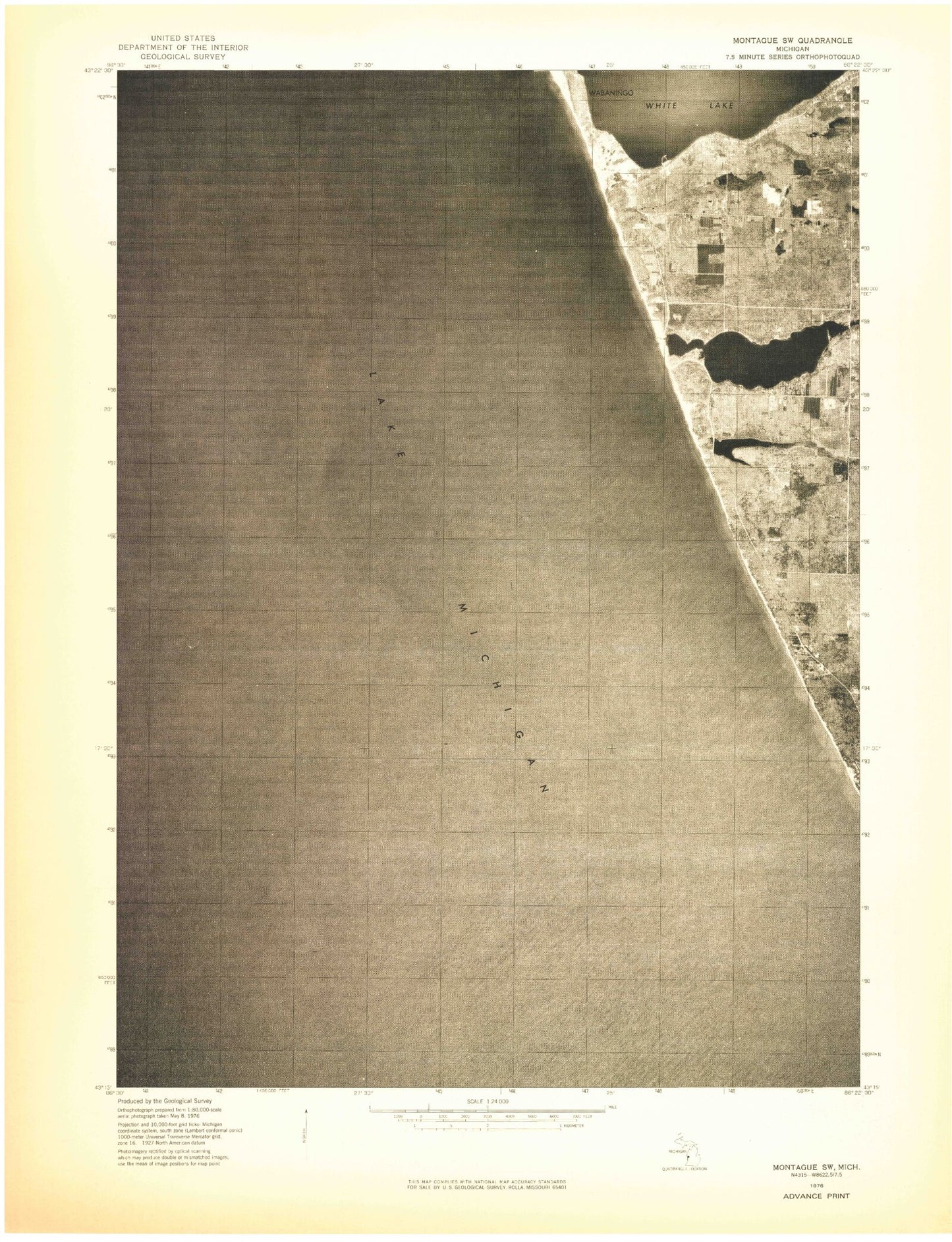
Historical USGS topographic quad map of Michillinda in the state of Michigan. Map scale may vary for some years, but is generally around 1:24,000. Print size is approximately 24" x 27"
This quadrangle is in the following counties: Muskegon.
The map contains contour lines, roads, rivers, towns, and lakes. Printed on high-quality waterproof paper with UV fade-resistant inks, and shipped rolled.
Contains the following named places: Birch Brook, Conklin School, Duck Creek, Duck Lake, Duck Lake Cemetery, Duck Lake State Park, Fruitland District Number Six School Historical Marker, Michillinda, Michillinda Post Office, Muskrat Lake, Strawberry Creek, Sylvan Beach, Wabaningo, Wabaningo Post Office, White River Light Station Museum, Whitelake School