MyTopo
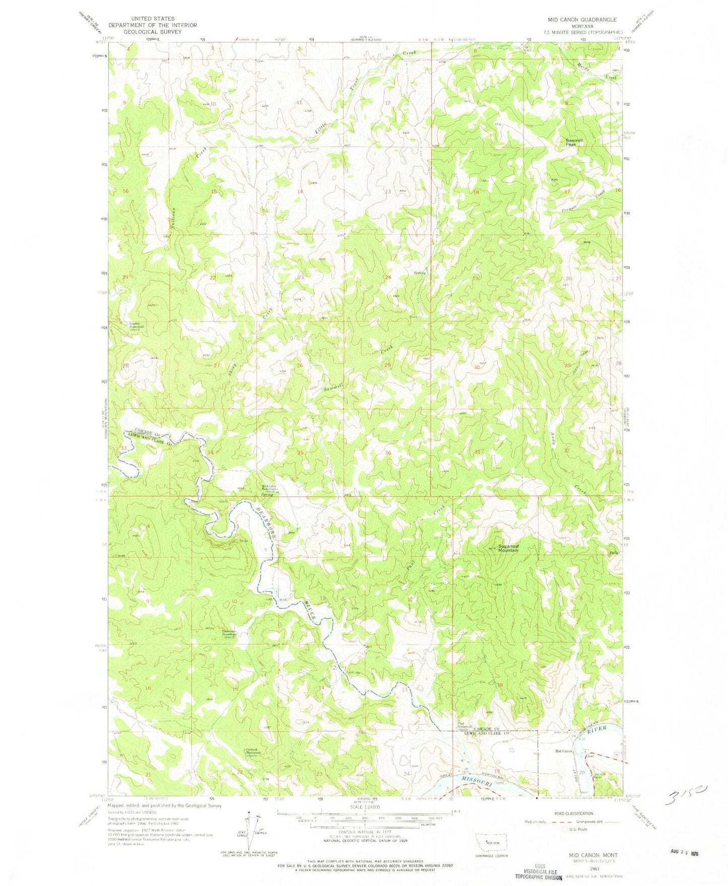
Classic USGS Mid Canon Montana 7.5'x7.5' Topo Map
Couldn't load pickup availability
Historical USGS topographic quad map of Mid Canon in the state of Montana. Typical map scale is 1:24,000, but may vary for certain years, if available. Print size: 24" x 27"
This quadrangle is in the following counties: Cascade, Lewis and Clark.
The map contains contour lines, roads, rivers, towns, and lakes. Printed on high-quality waterproof paper with UV fade-resistant inks, and shipped rolled.
Contains the following named places: Lesofski Homestead, Mid Canon, Sawmill Peak, Caldwell Homestead, Clark Homestead, Dearborn River, Trout Creek, McKinzter Homestead, Paul Creek, Sawmill Creek, Sheep Creek, Sugarloaf Mountain, Timberman Homestead, Mid Canon Fishing Access Site, Dearborn Fishing Access Site, Eagle Island Fishing Access Site, River Canyon RV Park, Trout Creek School (historical), Mid Canon Post Office (historical), Mid Canon, Dearborn Rest Area, Missouri River Canyon Historical Marker (historical), Dearborn Volunteer Fire Company


