MyTopo
Classic USGS Middle Amana Iowa 7.5'x7.5' Topo Map
Couldn't load pickup availability
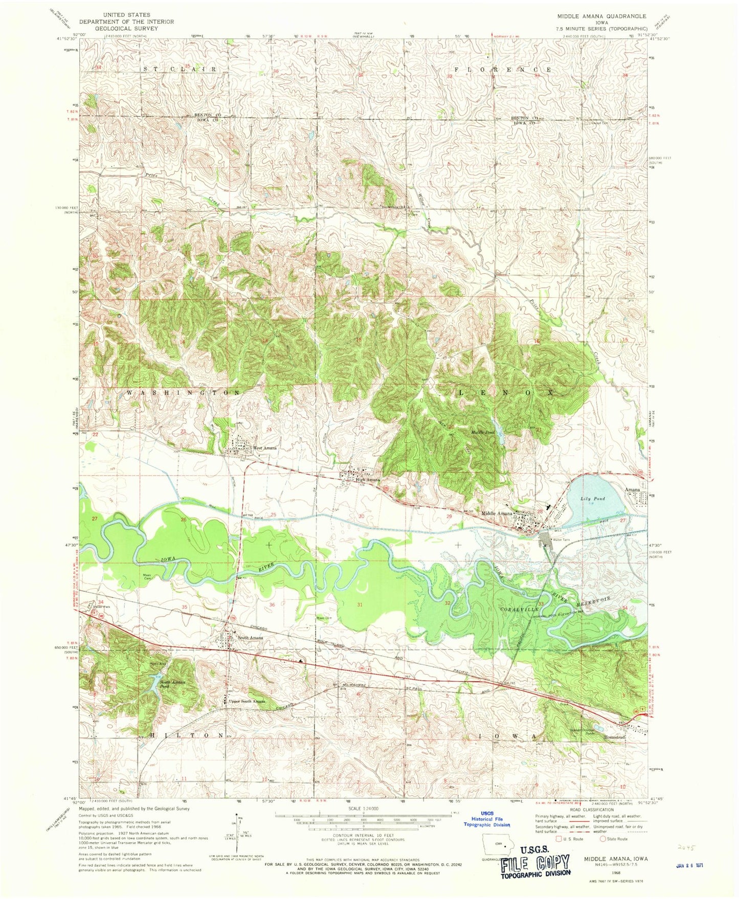
Historical USGS topographic quad map of Middle Amana in the state of Iowa. Map scale may vary for some years, but is generally around 1:24,000. Print size is approximately 24" x 27"
This quadrangle is in the following counties: Benton, Iowa.
The map contains contour lines, roads, rivers, towns, and lakes. Printed on high-quality waterproof paper with UV fade-resistant inks, and shipped rolled.
Contains the following named places: Amana Arts Guild Gallery, Amana Census Designated Place, Amana Colonies RV Park, Amana Elementary School, Amana Family Practice Clinic, Amana First Responders, Amana Post Office, Colonial Manor of Amana, Communal Agriculture Museum, Communal Kitchen Museum, Granny Sprague Pioneer Cemetery, High Amana, High Amana Census Designated Place, High Post Office, Kumer Cemetery, Lenox Cemetery, Lily Pond, Linwood Cemetery, Linwood Post Office, Maas Cemetery, Middle Amana, Middle Amana Census Designated Place, Middle Amana Post Office, Middle Pond, Mill Race, Mitchel Cemetery, Nelson Cemetery, Old Scotch Cemetery, South Amana, South Amana Barn Museum, South Amana Census Designated Place, South Amana Pond, South Amana Post Office, Swedenborg Church, Township of Lenox, Upper South Amana, West Amana, West Amana Census Designated Place, West Post Office, Willow Creek, ZIP Codes: 52203, 52307