MyTopo
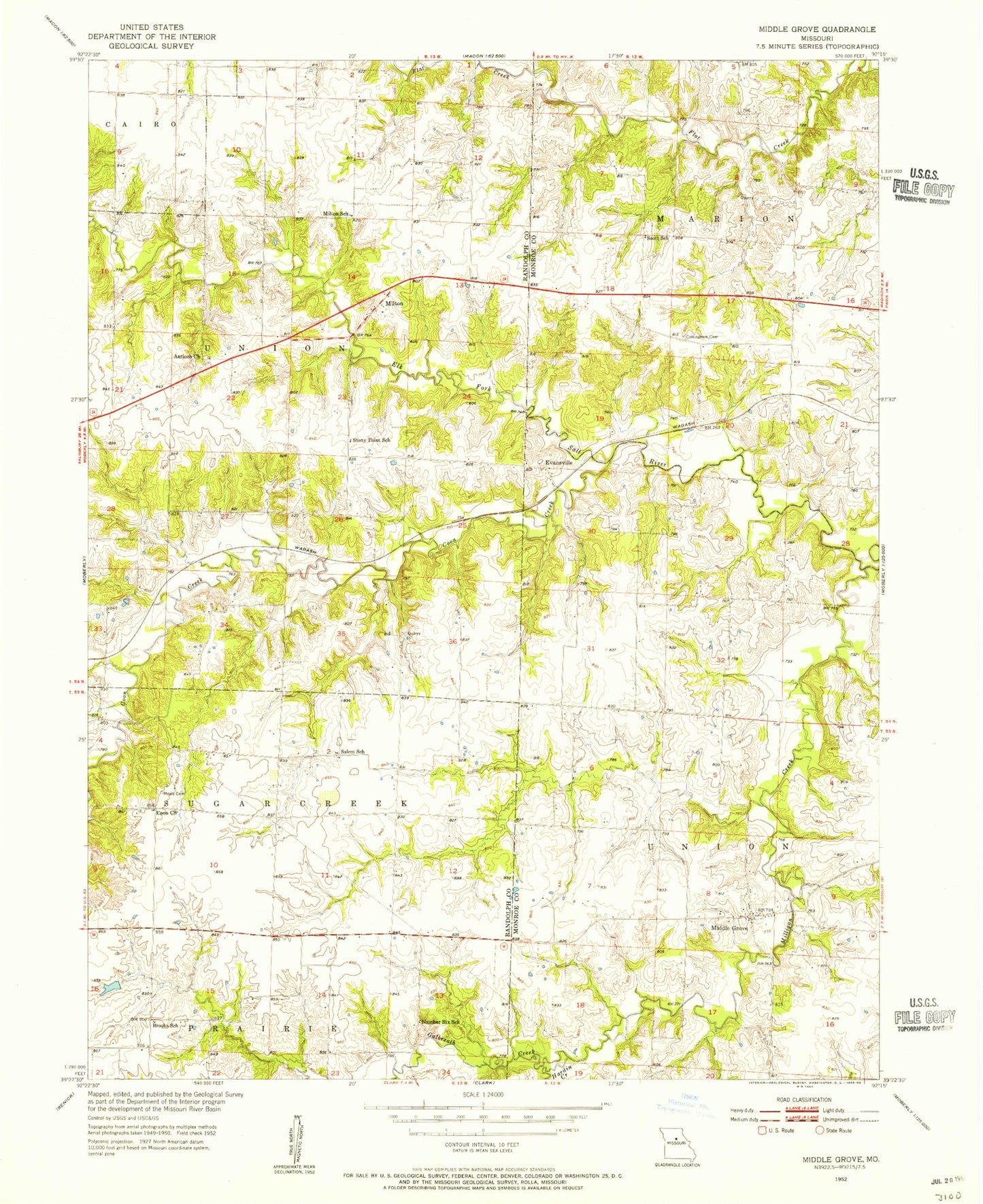
Classic USGS Middle Grove Missouri 7.5'x7.5' Topo Map
Couldn't load pickup availability
Historical USGS topographic quad map of Middle Grove in the state of Missouri. Map scale may vary for some years, but is generally around 1:24,000. Print size is approximately 24" x 27"
This quadrangle is in the following counties: Monroe, Randolph.
The map contains contour lines, roads, rivers, towns, and lakes. Printed on high-quality waterproof paper with UV fade-resistant inks, and shipped rolled.
Contains the following named places: Anderson Lake, Anderson Lake Dam, Antioch Church, Brooks School, Brown Lake Dam, Chandler School, Coon Creek, Cottingham Cemetery, Enon Church, Evansville, Galbreath Creek, Hardin Creek, Irons Airport, Johnson Lake, Johnson Lake Dam, Mallory Lake, Mallory Lake Dam, McCowan Dam, Meals Cemetery, Middle Grove, Middle Grove Census Designated Place, Milligan Creek, Milton, Milton School, Number Six School, Salem Christian Church, Salem School, Scott School, Stony Point School, Township of Union