MyTopo
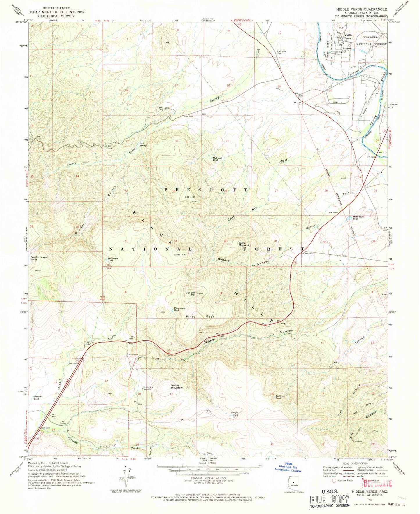
Classic USGS Middle Verde Arizona 7.5'x7.5' Topo Map
Couldn't load pickup availability
Historical USGS topographic quad map of Middle Verde in the state of Arizona. Map scale may vary for some years, but is generally around 1:24,000. Print size is approximately 24" x 27"
This quadrangle is in the following counties: Yavapai.
The map contains contour lines, roads, rivers, towns, and lakes. Printed on high-quality waterproof paper with UV fade-resistant inks, and shipped rolled.
Contains the following named places: Aultman, Bates Well, Bates Windmill, Black Hills, Boulder Canyon, CF Tank, Cherry Creek Well, Cienega Well, Copper Canyon Substation, Copper Canyon Water, Copper Corral, Driveway Tank, Durfee Tank, Eureka Ditch, Flower Pot, Flower Pot Ranch, Flowerpot Tank, Gaddis Canyon, Gaddis Canyon Spring, Gaddis Wash, Grassy Mountain, Grassy Mountain Windmill, Grief Hill, Grief Hill Tank, Grief Hill Wash, Grief Hill Water, Grief Hills Spring Number One, Hull Hill, Hull Hill Tank, Hull Hill Tank Number Two, Hull Spring, Hull Water, Juniper Hill, Loco Tank, Lucky Canyon Tanks, Lucky Canyon Windmill, Middle Verde, Middle Verde Cemetery, Mistake Tank, Oxtail Draw, Oxtail Tank, Pinto Mesa, Pinto Mesa Spring, Pinto Mesa Tank, Ryal Water, State Land Tank, Table Mountain, The Willows at Camp Verde Mobile Home Park, Tomkins Tank, Upper Lucky Canyon Spring, Wool Growers Windmill, Yavapai County Sheriff's Office


