MyTopo
Classic USGS Middlebourne West Virginia 7.5'x7.5' Topo Map
Couldn't load pickup availability
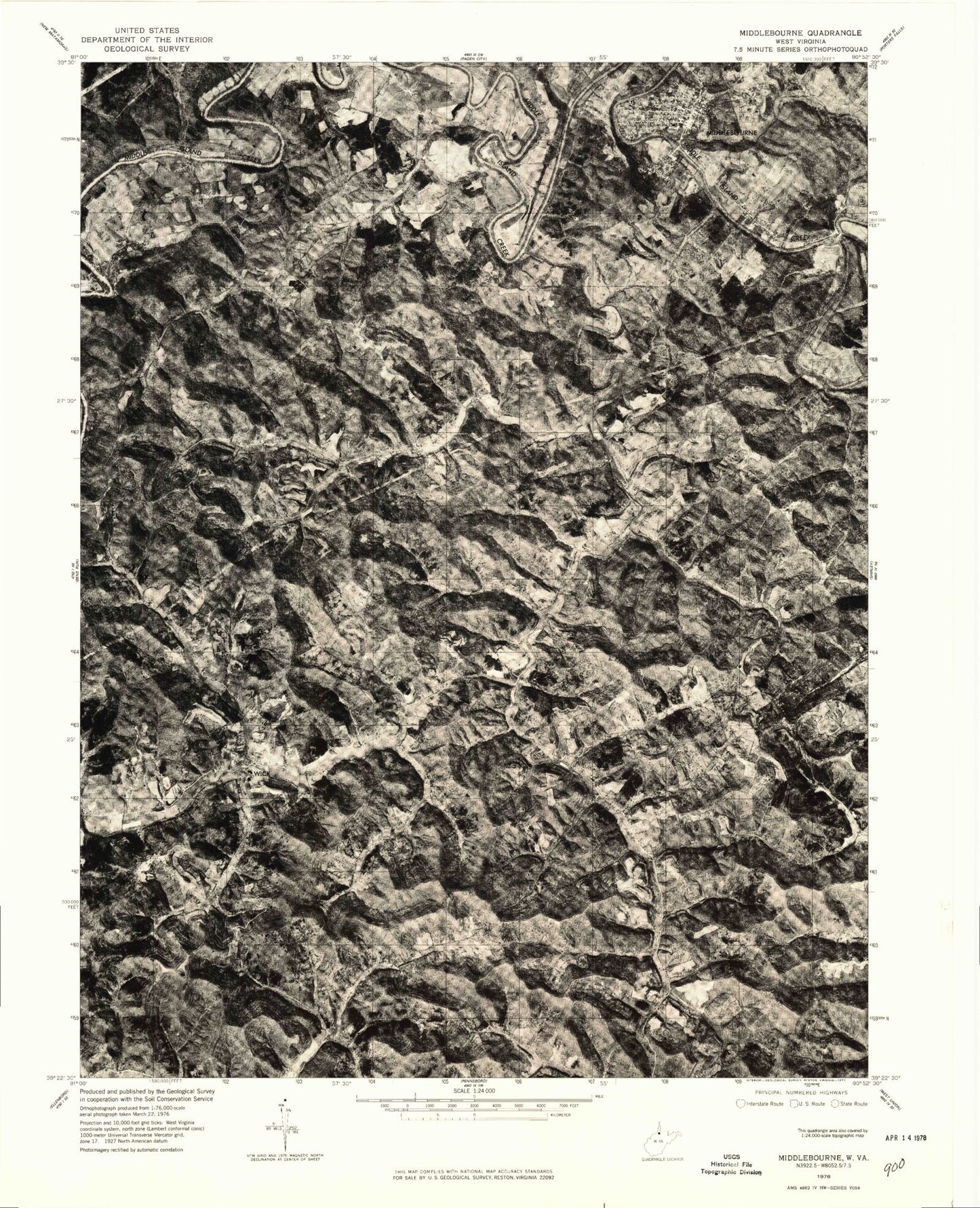
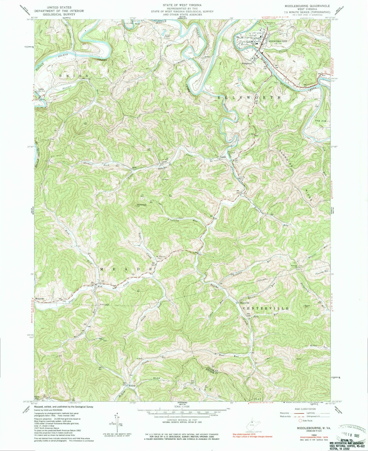
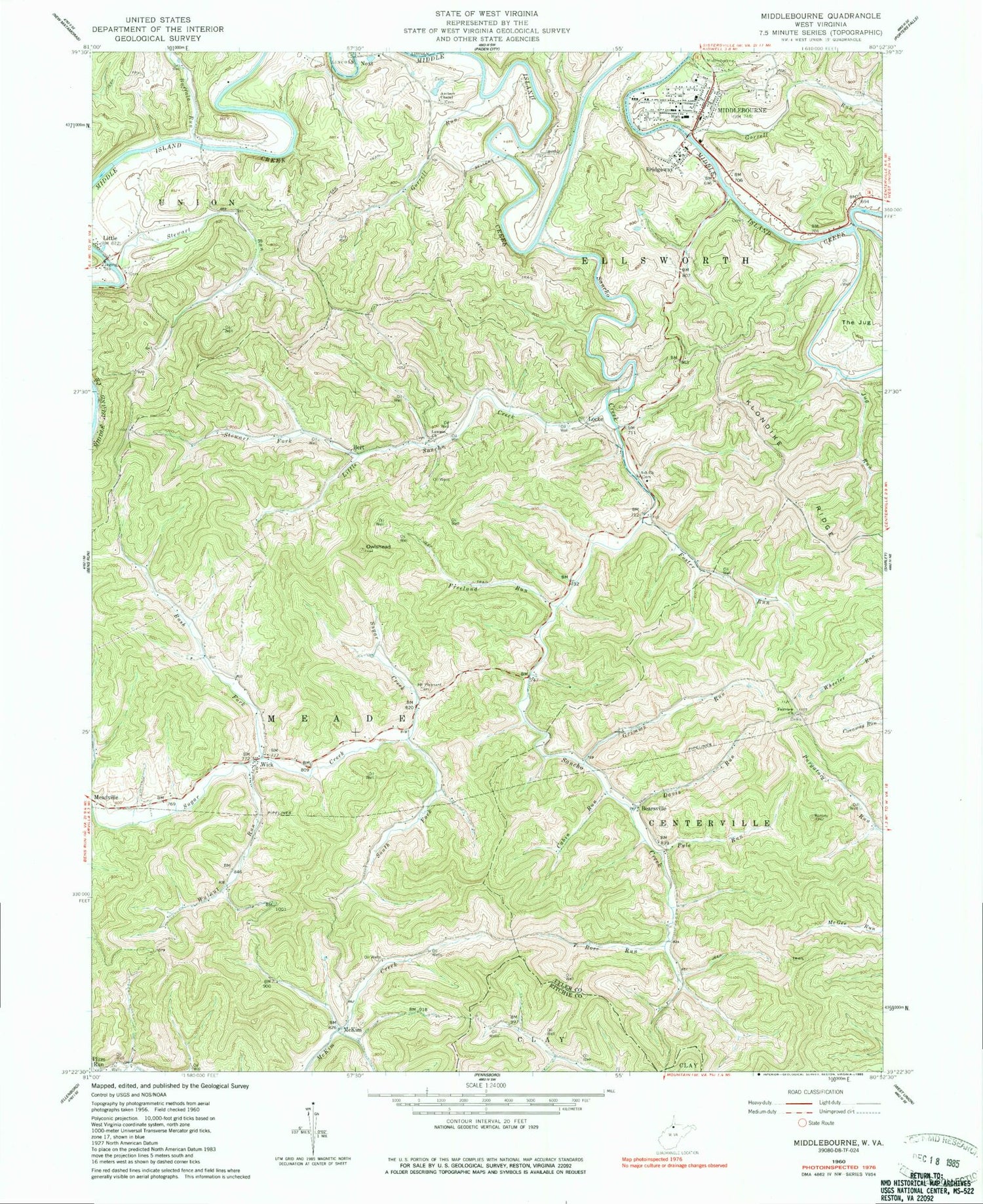
Historical USGS topographic quad map of Middlebourne in the state of West Virginia. Map scale may vary for some years, but is generally around 1:24,000. Print size is approximately 24" x 27"
This quadrangle is in the following counties: Ritchie, Tyler.
The map contains contour lines, roads, rivers, towns, and lakes. Printed on high-quality waterproof paper with UV fade-resistant inks, and shipped rolled.
Contains the following named places: Archers Chapel, Ash Church, Ash School, Bearsville, Bert, Bridgeway, Buffalo Run, Cabin Run, Davis Run, Ellsworth Middle School, Fairview Church, Fairview Church Cemetery, Fairview School, Foster Run, Freeland Run, Golden Down School, Gorrell Run, Gorrell School, Grimms Run, Hissom Bridge, Hopewell School, Jug Run, Jug Run School, Klondike Ridge, Lawson Church, Little, Little Sancho Creek, Locke, McKim, Middlebourne, Middlebourne - Tyler County Volunteer Fire Department, Middlebourne Bridge, Middlebourne Cemetery, Middlebourne Post Office, Mount Pleasant Cemetery, Mountain View School, Next, Owlshead, Pleasant Dale School, Pyle Run, Rock Run, Rose Run, Rush Fork, Rush Fork School, Sancho, Sancho Creek, South Fork Sugar Creek, Stewart Fork, Stewart Run, The Jug, Town of Middlebourne, Tyler County, Tyler County Courthouse, Tyler County Emergency Medical Services Unit 1 Station 70, Tyler County High School, Tyler County Jail, Tyler County Public Library, Tyler County Sheriff's Office, Walnut Run, Walnut Run School, Wick, Wick Post Office