MyTopo
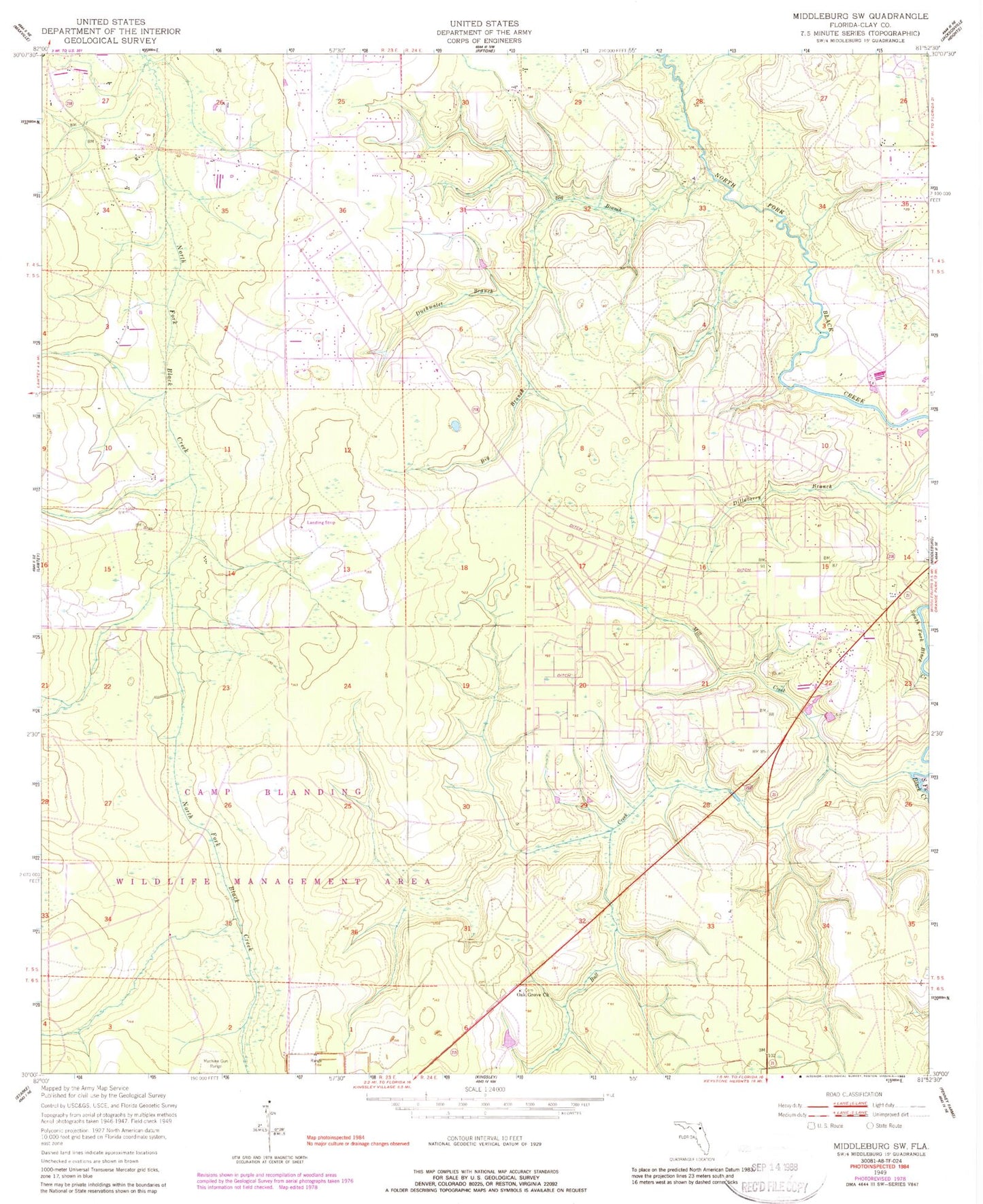
Classic USGS Middleburg SW Florida 7.5'x7.5' Topo Map
Couldn't load pickup availability
Historical USGS topographic quad map of Middleburg SW in the state of Florida. Typical map scale is 1:24,000, but may vary for certain years, if available. Print size: 24" x 27"
This quadrangle is in the following counties: Clay.
The map contains contour lines, roads, rivers, towns, and lakes. Printed on high-quality waterproof paper with UV fade-resistant inks, and shipped rolled.
Contains the following named places: Big Branch, Boggy Branch, Bull Creek, Duckwater Branch, Mill Creek, Oak Grove Church, Church of God, Freedom Church, Cinnamon Street Church, The Church of Jesus Christ of Latter Day Saints, Saint Mark Church, The Jesus Church, First Assembly of God Church, Padget Cemetery, Johns Cemetery, Oak Grove Cemetery, Fowler Cemetery, North Florida Christian Academy, Wilkinson Junior High School, Spencer's Airpark, Williams Field, Middleburg-Clay Hill Division, Middleburg Census Designated Place, Clay Hill Church of God, Middleburg Church of Christ, Saint Mark Missionary Baptist Church, Clay County Fire Rescue Station 13 - Clay Hill