MyTopo
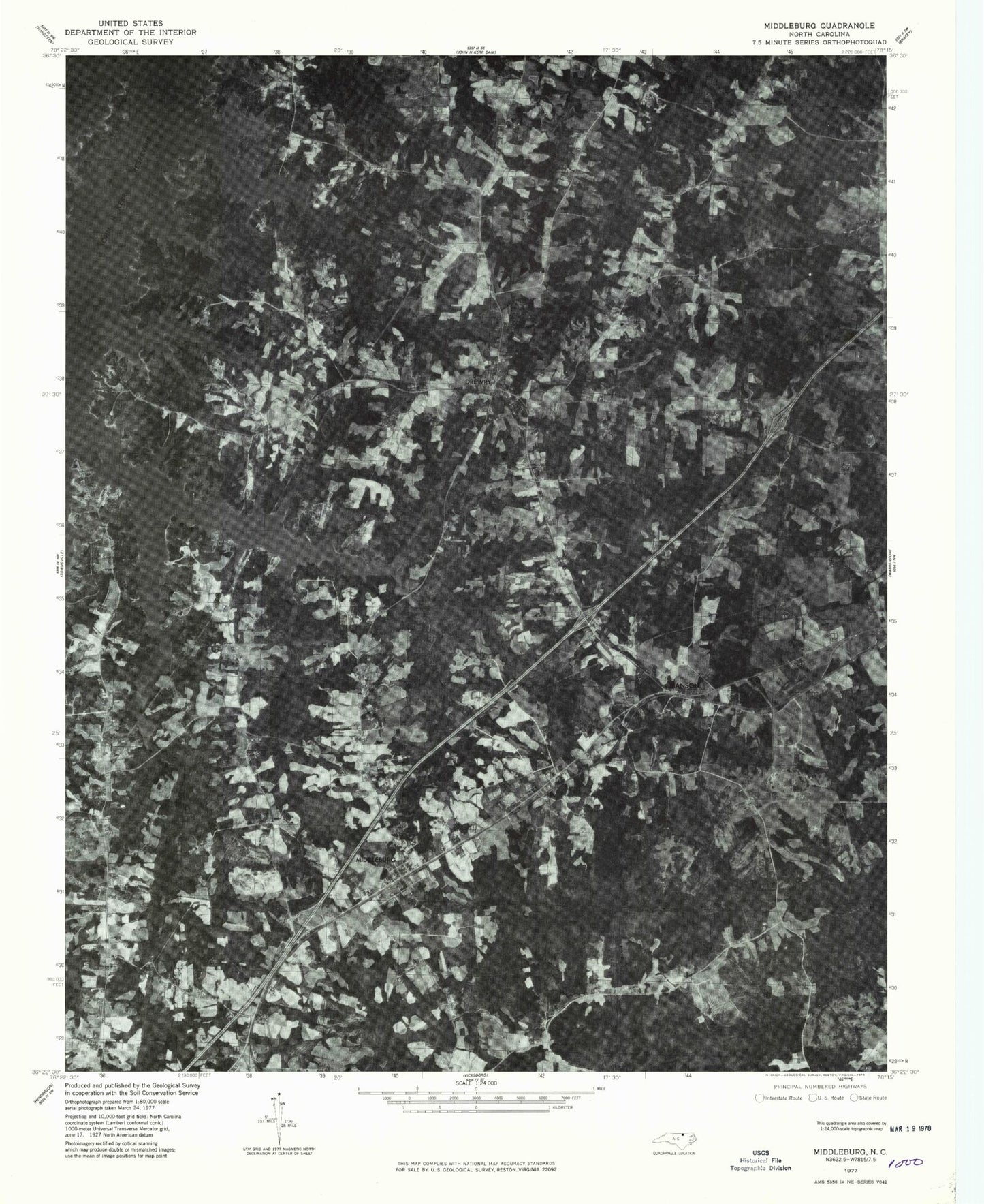
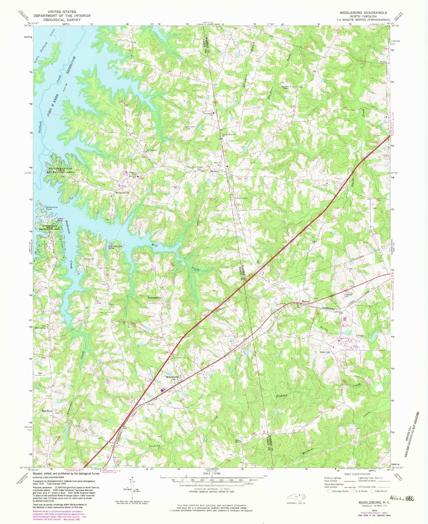
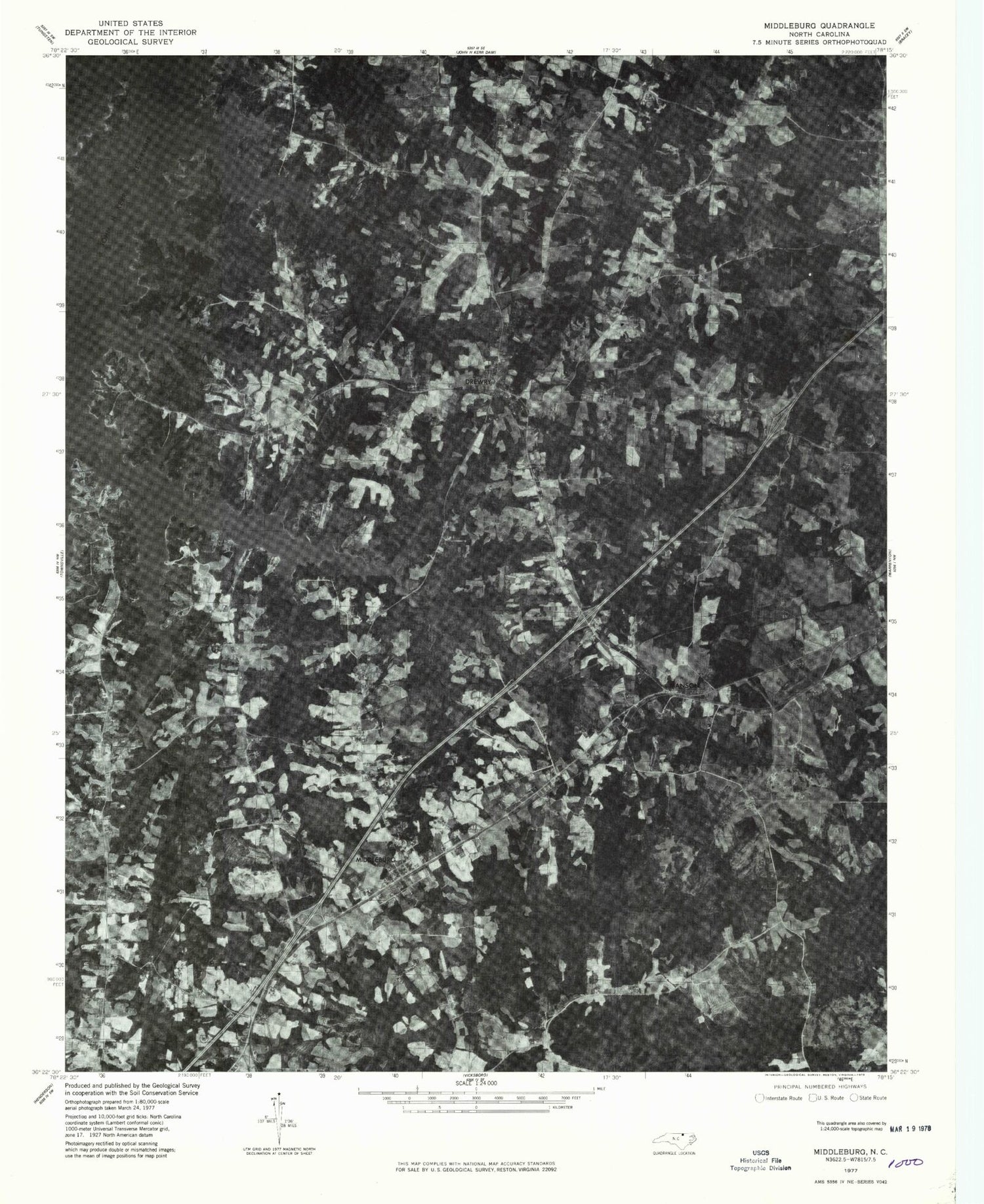
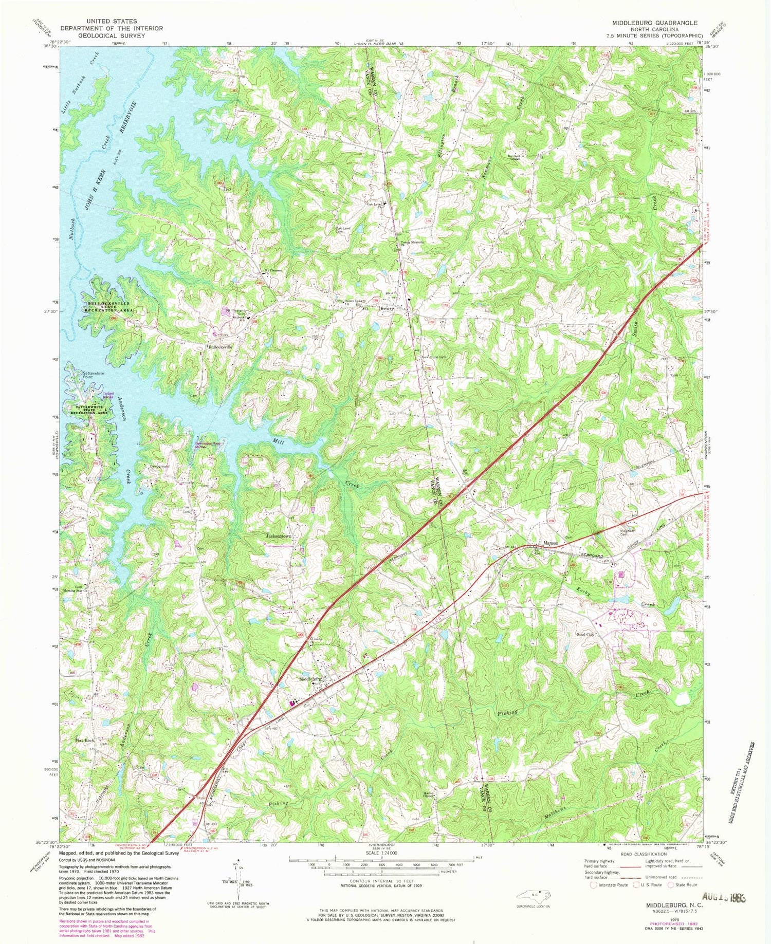
Classic USGS Middleburg North Carolina 7.5'x7.5' Topo Map
Couldn't load pickup availability
Historical USGS topographic quad map of Middleburg in the state of North Carolina. Map scale may vary for some years, but is generally around 1:24,000. Print size is approximately 24" x 27"
This quadrangle is in the following counties: Vance, Warren.
The map contains contour lines, roads, rivers, towns, and lakes. Printed on high-quality waterproof paper with UV fade-resistant inks, and shipped rolled.
Contains the following named places: Anderson Creek, Bullocks Park, Bullocksville, Burchett Chapel, Burchett School, Drewry, Drewry Volunteer Fire Department, Flat Rock, Flemington Road Marina, George Blum House, Jacksontown, Kearney House, Kerne Chapel, Kingsbury, La Grange Plantation, Little Nutbush Creek, Manson, Manson Post Office, Middleburg, Middleburg Community House, Middleburg Post Office, Mill Creek, Morning Star Church, Mount Pleasant Cemetery, Mount Pleasant Churh, New Hope Cemetery, North Vance Elementary School, Nutbush School, Oak Level Cemetery, Oak Level Church, Peetes Pond, Peetes Pond Dam, Pleasant Hill, Ridgeway Cemetery, Saint Johns Church, Saints Delight Church, Satterwhite Point, Satterwhite Recreation Area, Soul City, Soul City Volunteer Rural Fire Station, Tarheel Marina, Taroano, Town of Middleburg, Township of Middleburg, Township of Nutbush, Warren Correctional Institution, Young Memorial Church, ZIP Codes: 27553, 27556


