MyTopo
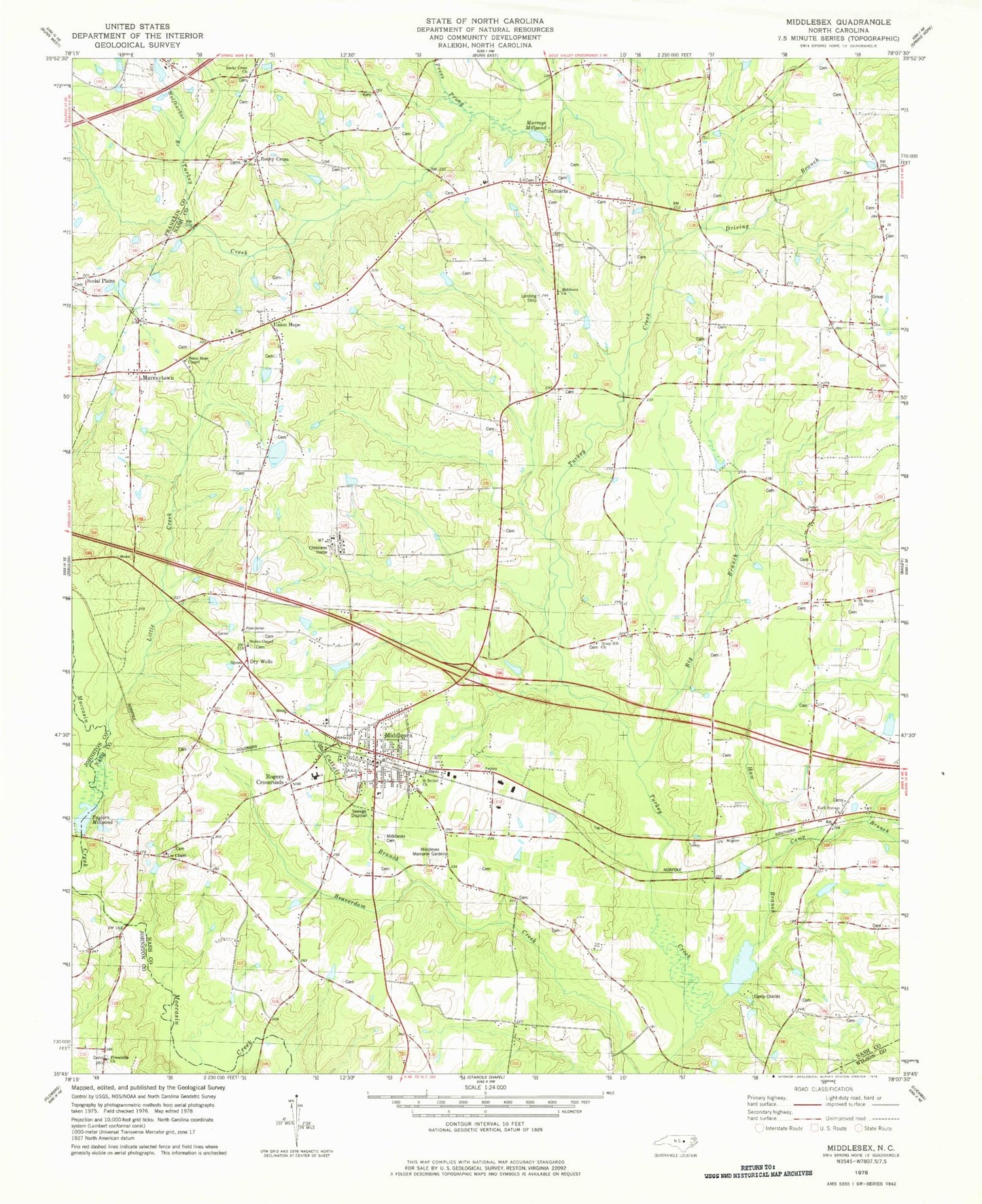
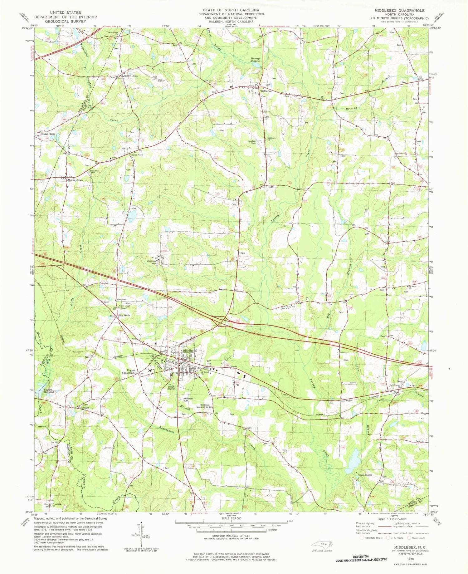
Classic USGS Middlesex North Carolina 7.5'x7.5' Topo Map
Couldn't load pickup availability
Historical USGS topographic quad map of Middlesex in the state of North Carolina. Typical map scale is 1:24,000, but may vary for certain years, if available. Print size: 24" x 27"
This quadrangle is in the following counties: Franklin, Johnston, Nash, Wilson.
The map contains contour lines, roads, rivers, towns, and lakes. Printed on high-quality waterproof paper with UV fade-resistant inks, and shipped rolled.
Contains the following named places: Big Branch, Camp Charles, Cattail Branch, Driving Branch, Dry Wells, Friendship Church, Haw Branch, Lee Chapel, Little Creek, Middlesex Cemetery, Middlesex Church, Middlesex Memorial Gardens, Murrays Millpond, Press Prong, Rock Springs Church, Rocky Cross, Rocky Cross Church, Rogers Crossroads, Saint Bethel Church, Saint Marys Church, Social Plains, Stokes Chapel, Stony Hill Church, Union Hope Chapel, Wolfharbor Branch, JW Stone Airport, Camp Charles Lake Dam, Camp Charles Lake, Taylors Millpond, Taylors Millpond Dam, Corbetts Pond Number One Dam, Corbetts Pond Number One, Murrays Pond Dam, Taylors Mill (historical), Creech Bridge, Wilder Bridge, Mammings School (historical), Morgan School (historical), Deans School (historical), Whitleys Crossroads, Murrays Mill (historical), Underwoods Mill, Taylors Crossroads, Chamblees Bridge, Cone Bridge, Stokes School (historical), Middlesex Elementary School, Social Plains Church, Middlesex, Murraytown, Samaria, Union Hope, Camp Branch, Township of Dry Wells, Creek School (historical), Mannings Store (historical), Stricklands Store (historical), Union Hope School (historical), White Oak Church (historical), Old Stanhope (historical), Town of Middlesex, Middlesex Volunteer Fire Department, Ferrells Volunteer Fire and Rescue Department, Samaria Baptist Church, Middlesex Post Office, Rocky cross Church Cemetery, VPO Middlesex


