MyTopo
Classic USGS Middletown Springs Vermont 7.5'x7.5' Topo Map
Couldn't load pickup availability
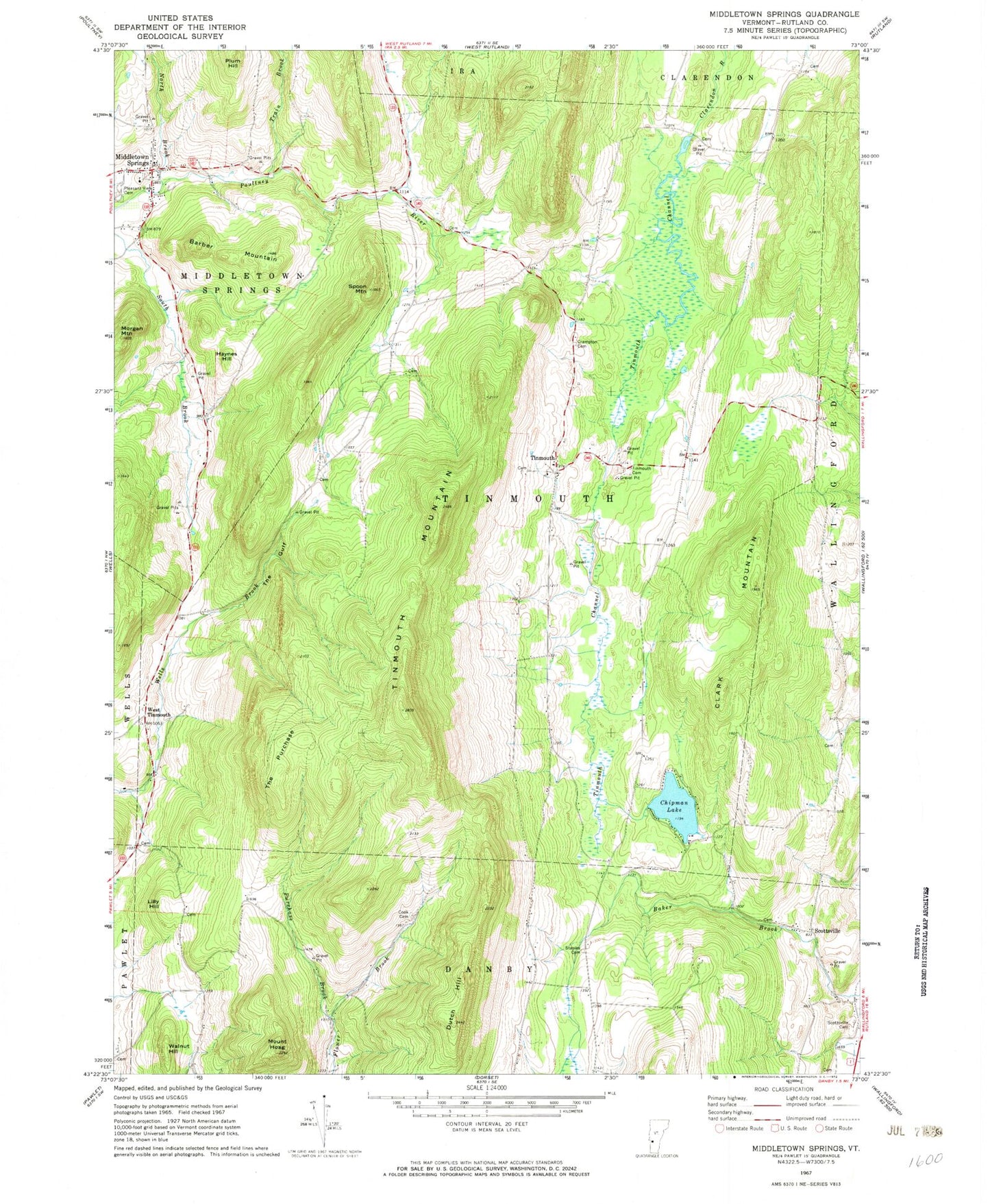
Historical USGS topographic quad map of Middletown Springs in the state of Vermont. Typical map scale is 1:24,000, but may vary for certain years, if available. Print size: 24" x 27"
This quadrangle is in the following counties: Rutland.
The map contains contour lines, roads, rivers, towns, and lakes. Printed on high-quality waterproof paper with UV fade-resistant inks, and shipped rolled.
Contains the following named places: Barber Mountain, Chipman Lake, Clark Mountain, Cook Cemetery, Crampton Cemetery, Dutch Hill, Haynes Hill, Mount Hoag, Lily Hill, Middletown Springs, Morgan Mountain, North Brook, Pleasant View Cemetery, Plum Hill, Purchase Brook, Scottsville, Scottsville Cemetery, Spoon Mountain, Staples Cemetery, The Gulf, The Purchase, Tinmouth, Tinmouth Cemetery, Tinmouth Channel, Tinmouth Mountain, Train Brook, Walnut Hill, West Tinmouth, Town of Tinmouth, Baker Cemetery, Darling-Rising Cemetery, Hulett Cemetery, John Brown Cemetery, Lillie Hill Cemetery, Middletown Springs Community Church, Middletown Springs Historic District, Middletown Springs Post Office, Middletown Springs Elementary School, Noble Cemetery, Old Cemetery, Potter Cemetery, Quaker - Nichols Farm Cemetery, Saint Annes Catholic Church, Sawyer Cemetery, Tinmouth Channel Wildlife Management Area, Tinmouth Elementary School, Tinmouth Historic District, Tinmouth Methodist Church, Tinmouth Town Hall, West Hill Cemetery, Wood - Norton Cemetery, Woodruff Cemetery, Middletown Springs Fire Department, Tinmouth Volunteer Fire Department, Fayette Mountain, Middletown Springs Census Designated Place


