MyTopo
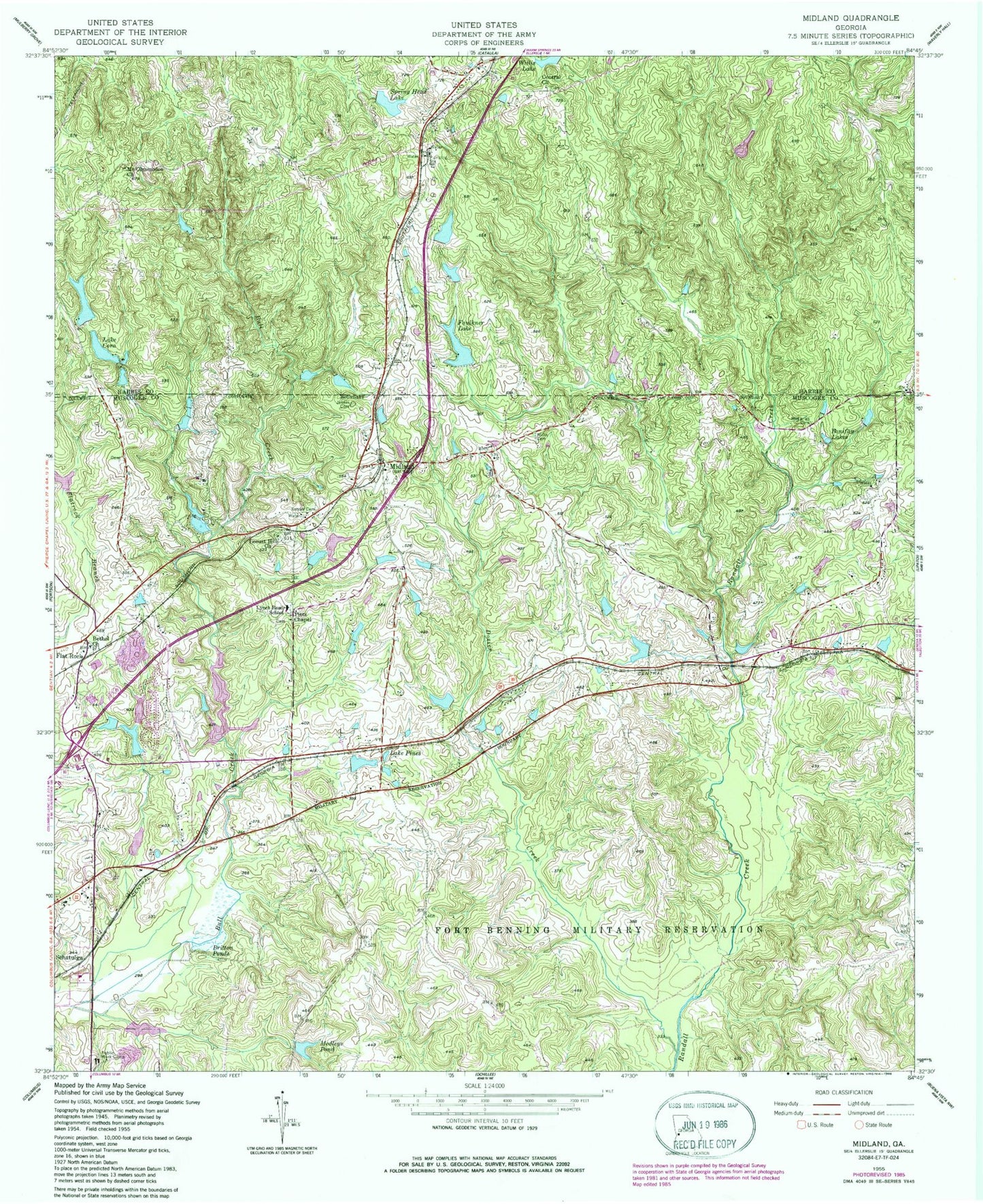
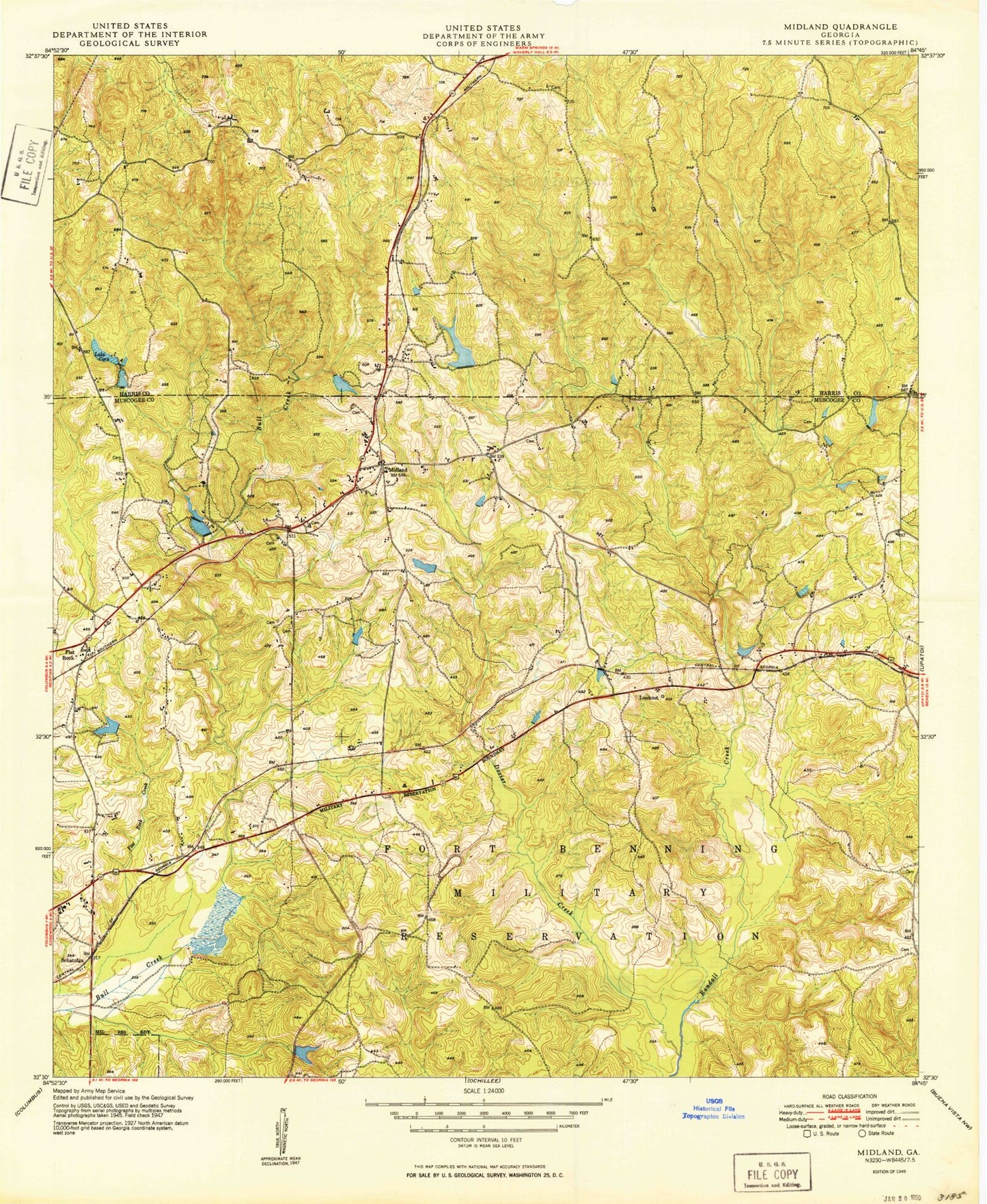
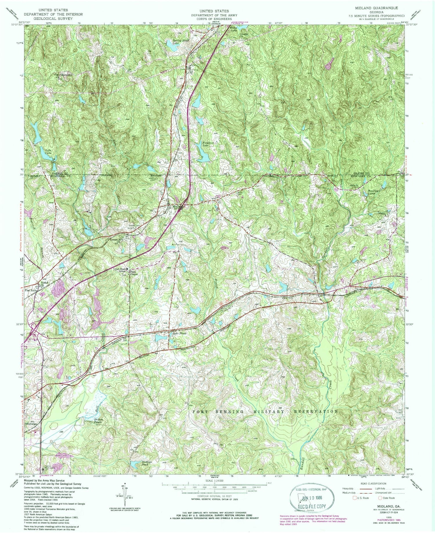
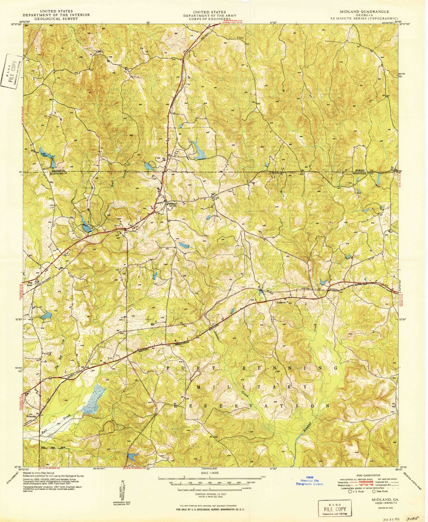
Classic USGS Midland Georgia 7.5'x7.5' Topo Map
Couldn't load pickup availability
Historical USGS topographic quad map of Midland in the state of Georgia. Map scale may vary for some years, but is generally around 1:24,000. Print size is approximately 24" x 27"
This quadrangle is in the following counties: Harris, Muscogee.
The map contains contour lines, roads, rivers, towns, and lakes. Printed on high-quality waterproof paper with UV fade-resistant inks, and shipped rolled.
Contains the following named places: Aaron Cohn Regional Youth Detention Center, Beaver Lake, Beaver Run, Bethel Church, Bonifay Lakes, Britton Ponds, Bull Creek Reservoir Number 26, Bull Creek Reservoir Number One, Bull Creek Watershed Dam Number 21, Bull Creek Watershed Lake Number 21, Bull Creek Watershed Structure Number 24 Dam, Central Church, Church of God, Columbus Division, Columbus Fire and Emergency Medical Services Station 5, Columbus Police Department Northside Precinct, Commonwealth, Cunningham Lake, Cunningham Lake Dam, Debrabant Lake, Deer Run Lake, Deer Run Lake Dam, Dozier Creek, Faulkner Lake, Faulkner Lake Dam, Fieldcrest Lake, Fieldcrest Lake Dam, Flat Rock, Foxrun, Gates Dam, Gates Lake, Gordydale, Hardaway Dam, Hardaway Lake, Hedleys Pond Dam, Jenkin Cemetery, Jenkins Dam, Jenkins Lake, Kitten Lake, Lake Cora, Lake Pines, Locust Hill Church, Locust Hill Church Cemetery, Lynch Road School, Mahaffey Lake, Mahaffey Lake Dam, McFarlan Cemetery, Medleys Pond, Midland, Midland Post Office, Mount Commodoe Church, Muscogee Youth Development Campus, Pitts Chapel, Pitts Chapel Cemetery, Pratt and Whitney Aircraft Heliport, Quick Start Vocational School, Russel Cemetery, Schatulga, Spring Head Lake, Spring Head Lake Dam, Stonewall Jackson Dam, Stonewall Jackson Lake, Thornton Dam, Thornton Lake, Widgeon Lake, Willis Cemetery, Willis Lake, Woodruff Dam, Woodruff Lake, Woodruff Lake Dam, Woodruff North Dam, Woodruff North Lake, ZIP Code: 31820


