MyTopo
Classic USGS Midnight Mississippi 7.5'x7.5' Topo Map
Couldn't load pickup availability
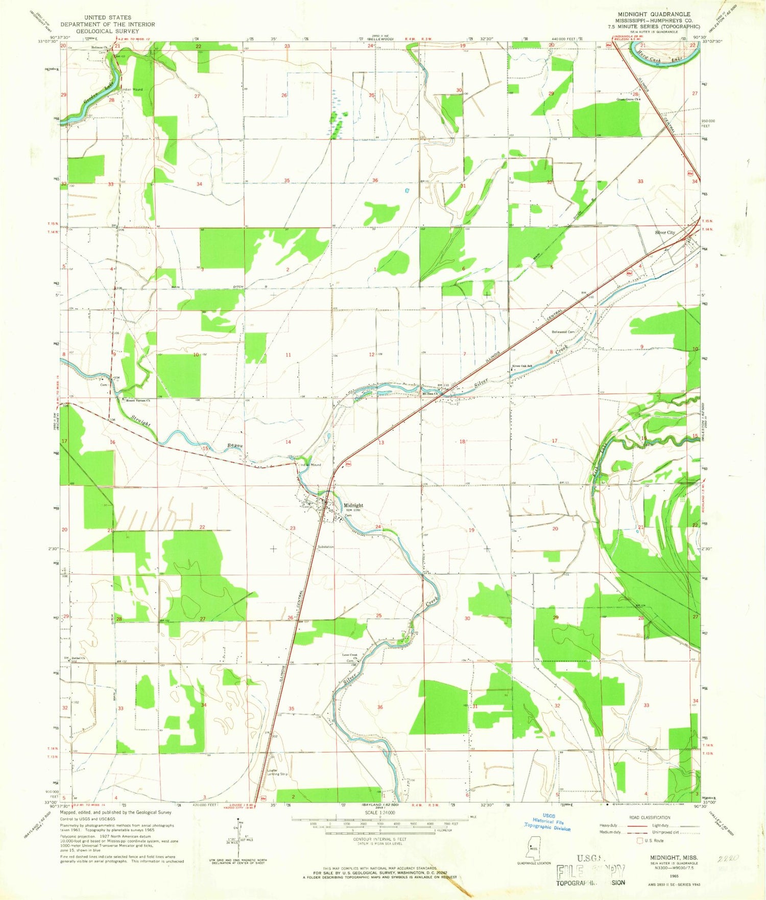
Historical USGS topographic quad map of Midnight in the state of Mississippi. Map scale may vary for some years, but is generally around 1:24,000. Print size is approximately 24" x 27"
This quadrangle is in the following counties: Humphreys.
The map contains contour lines, roads, rivers, towns, and lakes. Printed on high-quality waterproof paper with UV fade-resistant inks, and shipped rolled.
Contains the following named places: Afro School, Bellewood Cemetery, Bentley Church, Bethel Church, D E C Farms Pond Dam, Deer Park Church, Fish Lake, Gooden Lake, Green Grove Church, Hall Barret Lake Dam, Holiness Church, Kiker Lake Dam, Lake Loc, Love Crest Church, Main Ditch A, Main Ditch B, Midnight, Midnight School, Mound School, Mount Vernon Church, Mount Zion Church, New Foundation Church, Pickell Lake Dam, Riven Oak School, Rokeby, Romeo, Saint Joseph School, Shiloh Church, Show Hope Church, Sunflower Lagoon Dam, Supervisor District 5, Wildwood Church, ZIP Code: 39115


