MyTopo
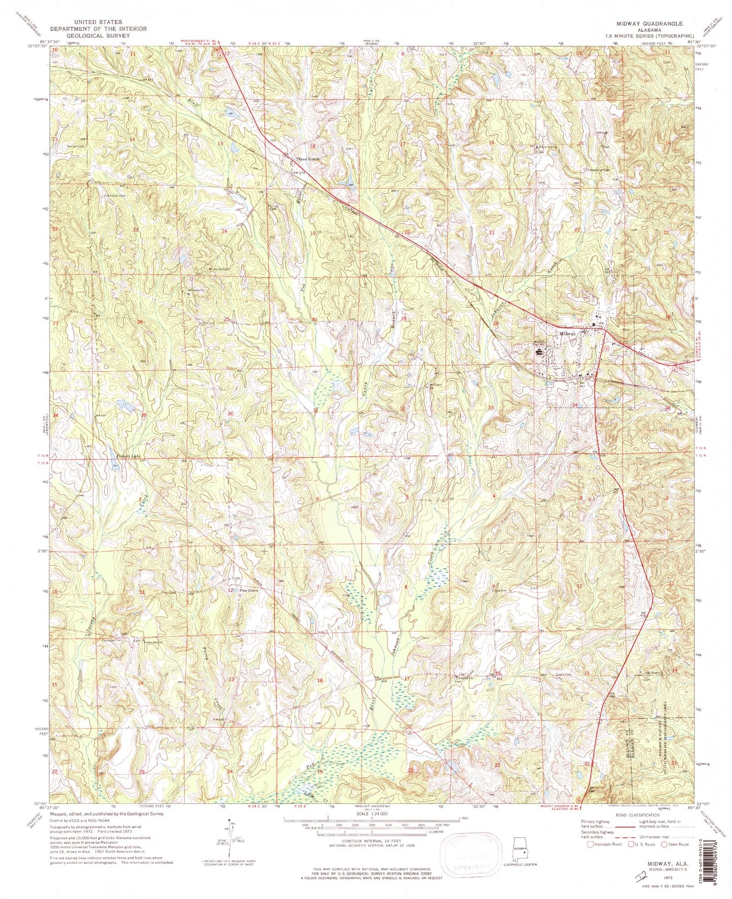
Classic USGS Midway Alabama 7.5'x7.5' Topo Map
Couldn't load pickup availability
Historical USGS topographic quad map of Midway in the state of Alabama. Map scale may vary for some years, but is generally around 1:24,000. Print size is approximately 24" x 27"
This quadrangle is in the following counties: Barbour, Bullock.
The map contains contour lines, roads, rivers, towns, and lakes. Printed on high-quality waterproof paper with UV fade-resistant inks, and shipped rolled.
Contains the following named places: Antioch Church Cemetery, Bluff Creek, Caney Branch, Chestnut Ridge School, Fairview Cemetery, Fairview School, Fellowship Cemetery, Fellowship Church, Fishers Lake, Hayes Hill Church, James, Jenks Store, Johnson Creek, Johnston Cemetery, Lewis Cemetery, Little Creek, Merritt High School, Midway, Midway Baptist Cemetery, Midway Division, Midway Post Office, Midway Station, Midway Volunteer Fire Department, Mount Asia Church, Mount Azure Baptist Church, Mount Azure Cemetery, Mount Coney Church, Oak Grove Cemetery, Oak Grove Church, Oliver Junior High School, Peniel Cemetery, Pine Grove, Posey Creek, Three Notch, Three Notch Cemetery, Town of Midway