MyTopo
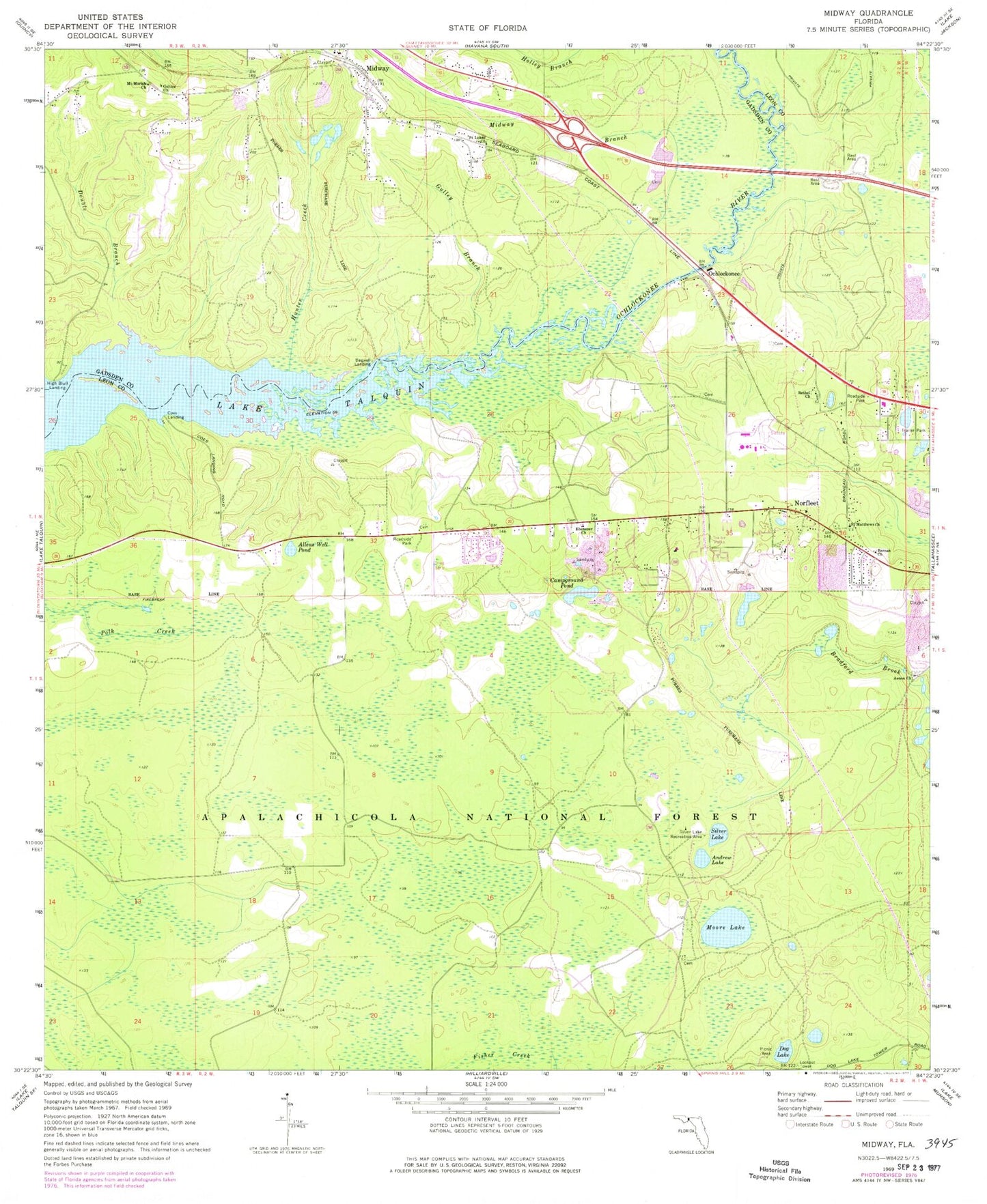
Classic USGS Midway Florida 7.5'x7.5' Topo Map
Couldn't load pickup availability
Historical USGS topographic quad map of Midway in the state of Florida. Typical map scale is 1:24,000, but may vary for certain years, if available. Print size: 24" x 27"
This quadrangle is in the following counties: Gadsden, Leon.
The map contains contour lines, roads, rivers, towns, and lakes. Printed on high-quality waterproof paper with UV fade-resistant inks, and shipped rolled.
Contains the following named places: Aenon Church, Allens Well Pond, Andrew Lake, Bagwell Landing, Berean Church, Bethel Church, Campground Pond, Coes Landing, Dog Lake, Double Branch, Ebenezer Church, Galilee Church, Gulley Branch, High Bluff Landing, Hunter Creek, Midway, Midway Branch, Moore Lake, Mount Moriah Church, Norfleet, Ochlockonee, Saint Lukes Church, Saint Matthews Church, Saint Peters Church, Silver Lake, Silver Lake Recreation Area, Dog Pond Clear Lake, Berean Mennonite Church, Words of Life Temple, Lake Talquin Baptist Church, Tallahassee Baptist Church, Saint Luke Primitive Baptist Church, Ebenezer Leon Baptist Church, Fort Braden Pentecostal Holiness Church, First-Church Christ Scientist, Aenon Baptist Church, Calvary Tabernacle of the Apostolic Way, Andrew, Russells Cemetery, McCaln, Talquin Wildlife Management Area, Vinzant, Vinzant, Ochlockonee River Wildlife Management Area, City of Midway


