MyTopo
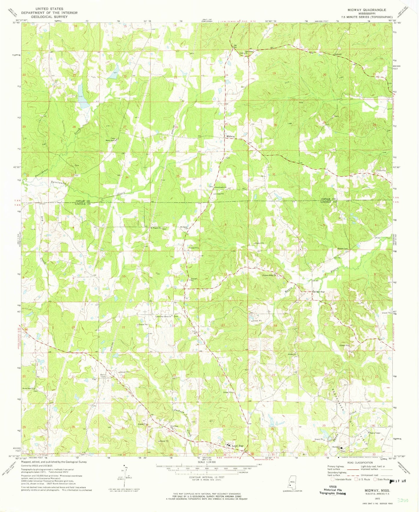
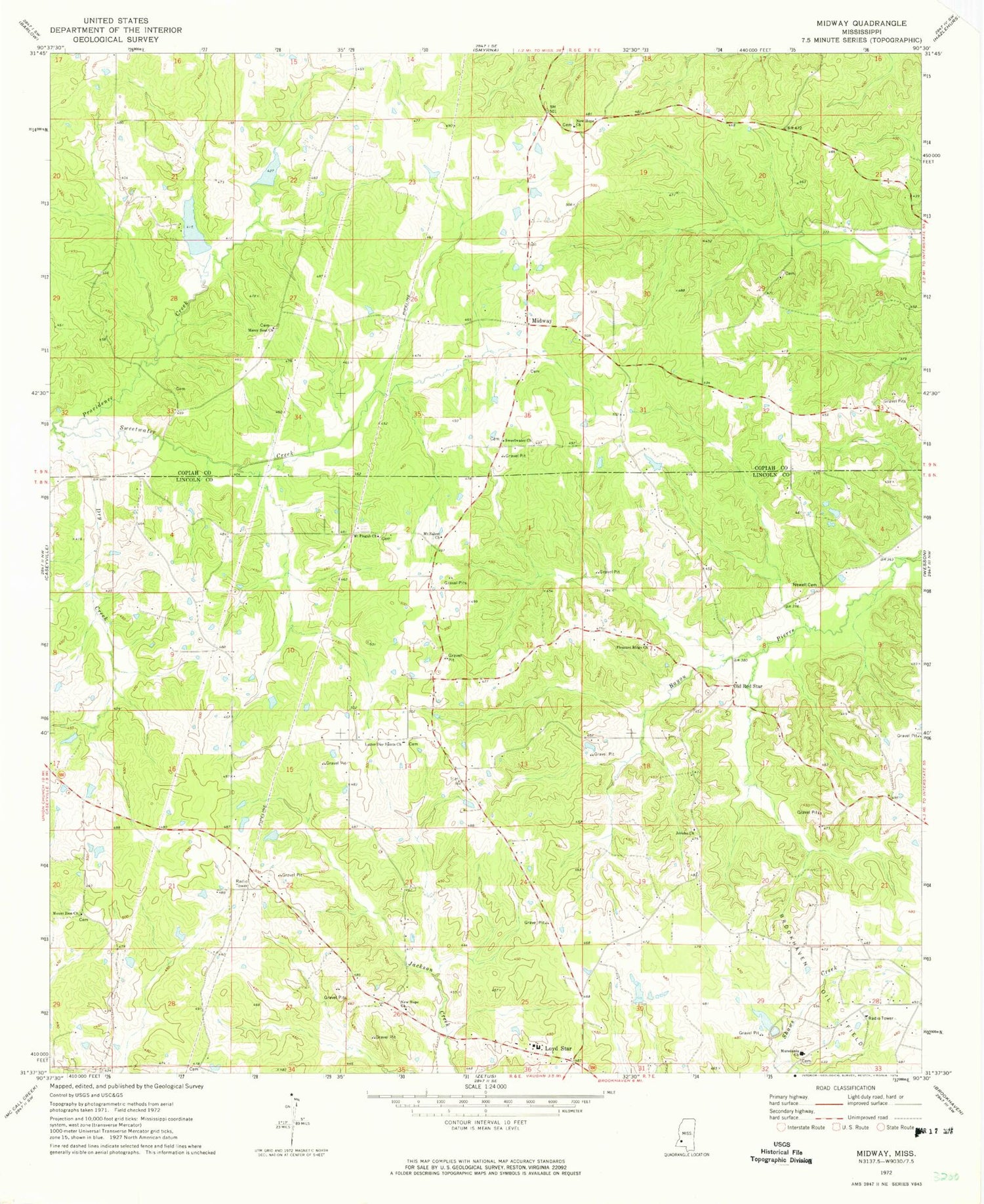
Classic USGS Midway Mississippi 7.5'x7.5' Topo Map
Couldn't load pickup availability
Historical USGS topographic quad map of Midway in the state of Mississippi. Map scale may vary for some years, but is generally around 1:24,000. Print size is approximately 24" x 27"
This quadrangle is in the following counties: Copiah, Lincoln.
The map contains contour lines, roads, rivers, towns, and lakes. Printed on high-quality waterproof paper with UV fade-resistant inks, and shipped rolled.
Contains the following named places: Boys Club Lake Dam, Dry Creek, Garland Brookline Lake Dam, Goodman School, Grafton Hall School, I O Smith Lake Dam, Jericho Church, Latter Day Saints Church, Lloyd Hall School, Lloyd Star Consolidated School, Loyd Star, Loyd Star Volunteer Fire Department, Macedonia Cemetery, Macedonia Church, Mercy Seat Cemetery, Mercy Seat Church, Midway, Mount Pisgah Church, Mount Salem Church, Mount Zion Church, New Hope Church, Newell Cemetery, Old Red Star, Peets Cemetery, Pleasant Ridge Church, Providence Creek, Reed School, Searchlight School, South Fork Homochitto River, Sweetwater Cemetery, Sweetwater Church, Sweetwater Creek


