MyTopo
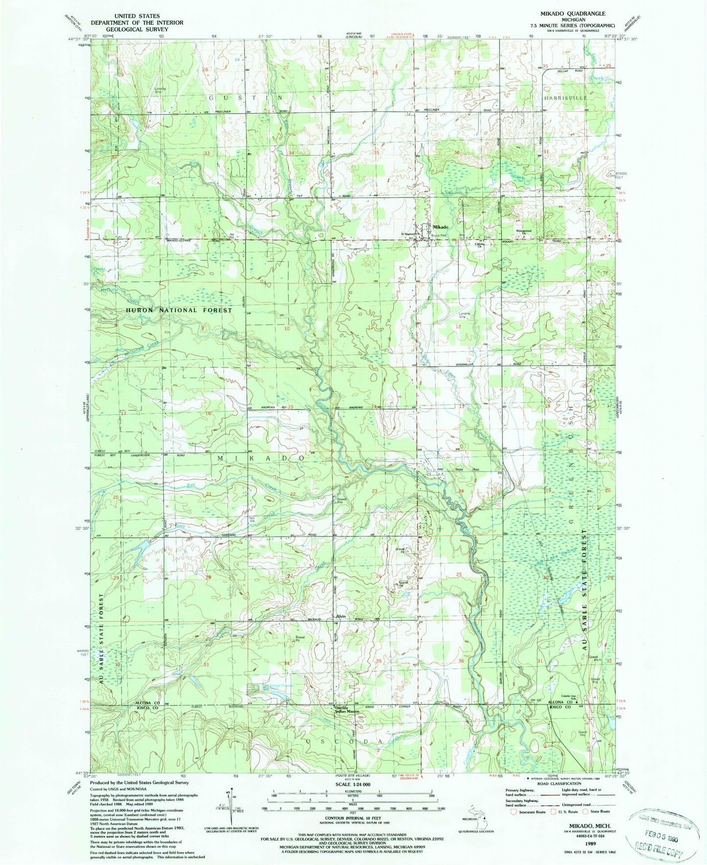
Classic USGS Mikado Michigan 7.5'x7.5' Topo Map
Couldn't load pickup availability
Historical USGS topographic quad map of Mikado in the state of Michigan. Map scale may vary for some years, but is generally around 1:24,000. Print size is approximately 24" x 27"
This quadrangle is in the following counties: Alcona, Iosco.
The map contains contour lines, roads, rivers, towns, and lakes. Printed on high-quality waterproof paper with UV fade-resistant inks, and shipped rolled.
Contains the following named places: Alpena State Forest, Alvin, Alvin Post Office, Backus Creek, Bruce Park, Calvary Church, Coppler Creek, County Line School, Duval Creek, East Branch Pine River, Gimlet Creek, Grey Creek, Hill Creek, McDonald Creek, McGillis Creek, Mikado, Mikado Branch Library, Mikado Post Office, Mikado Station, Mikado Township Cemetery, Mikado Township Volunteer Fire Department, Oscoda Indian Mission, Reorganized Church, Roy Creek, Roy Post Office, Roy Station, Saint Raphael Church, South Branch Pine River, Van Etten Creek, West Branch Pine River, WXJD-FM (Oscoda), ZIP Code: 48745