
MyTopo
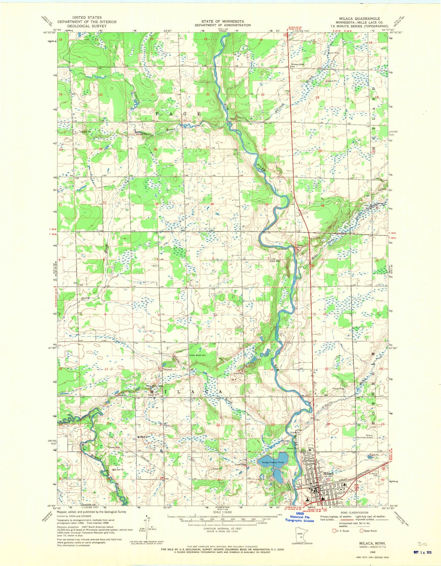
Classic USGS Milaca Minnesota 7.5'x7.5' Topo Map
Couldn't load pickup availability
Historical USGS topographic quad map of Milaca in the state of Minnesota. Map scale may vary for some years, but is generally around 1:24,000. Print size is approximately 24" x 27"
This quadrangle is in the following counties: Mille Lacs.
The map contains contour lines, roads, rivers, towns, and lakes. Printed on high-quality waterproof paper with UV fade-resistant inks, and shipped rolled.
Contains the following named places: Chase Brook, Chase Brook Cemetery, City of Milaca, Forest Hill Cemetery, Mike Drew Brook, Milaca, Milaca Municipal Airport, Milaca Police Department, Milaca Post Office, Milaca Volunteer Fire Department, Mille Lacs County Jail, Mille Lacs County Sheriff's Office, O'Neill Brook, Saint Marys Cemetery, Tibbetts Brook, Township of Milaca, Township of Page, Whitney Brook, Whitney Brook School, ZIP Code: 56353


