MyTopo
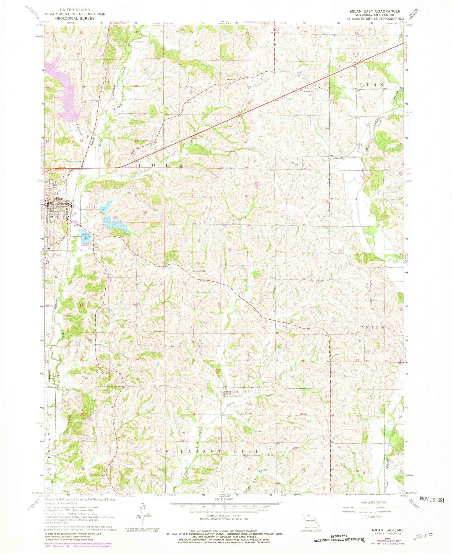
Classic USGS Milan East Missouri 7.5'x7.5' Topo Map
Couldn't load pickup availability
Historical USGS topographic quad map of Milan East in the state of Missouri. Map scale may vary for some years, but is generally around 1:24,000. Print size is approximately 24" x 27"
This quadrangle is in the following counties: Sullivan.
The map contains contour lines, roads, rivers, towns, and lakes. Printed on high-quality waterproof paper with UV fade-resistant inks, and shipped rolled.
Contains the following named places: City of Milan, City of Milan Lake, Deep Spring Cemetery, Elmwood Branch, Elmwood City Lake Dam, Frazier School, Hickory Grove Cemetery, Hickory Grove School, Holly Hill School, Ivy Hill School, Lee School, Marlay Cemetery, Milan Lake Dam - South Dam, Milan Lake Dam-North Dam, Milan Police Department, Milan Post Office, Milan Rural Fire Department, Mount Moriah Church, Mount Olive Cemetery, New Milan Reservoir, Number 41 Lake, Oak Grove Cemetery, Oak Grove School, Payne Cemetery, Payne School, Pleasant Grove School, Prairie Flower School, Sorrell, Sorrell Post Office, Sullivan County, Sullivan County Sheriff's Office, Sunny Ridge School, Township of Polk