MyTopo
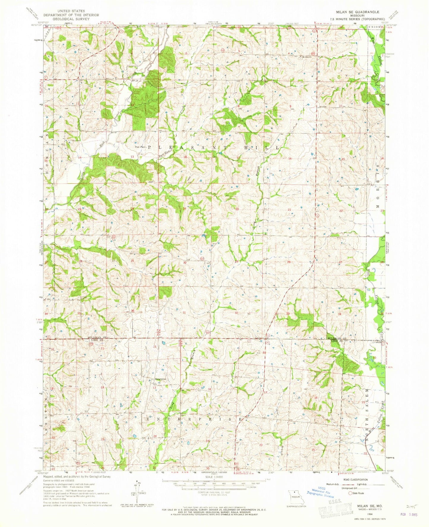
Classic USGS Milan SE Missouri 7.5'x7.5' Topo Map
Couldn't load pickup availability
Historical USGS topographic quad map of Milan SE in the state of Missouri. Map scale may vary for some years, but is generally around 1:24,000. Print size is approximately 24" x 27"
This quadrangle is in the following counties: Linn, Sullivan.
The map contains contour lines, roads, rivers, towns, and lakes. Printed on high-quality waterproof paper with UV fade-resistant inks, and shipped rolled.
Contains the following named places: Bundridge School, Crossroads School, Dickinson School, Enterprise, Enterprise School, Fairview School, Hollon Cemetery, Johnson School, Knifong Cemetery, Knifong School, Maher Lake Dam, Meservey Lake Dam, Mount Zion Church, Number 44 Lake, Opel, Opel Post Office, Paw Paw, Paw Paw Creek, Prairie Mound School, Taylor Lake Section 19 Dam, Taylor Lake Section 24 Dam, Township of Enterprise, Township of Pleasant Hill, Walnut Grove School