MyTopo
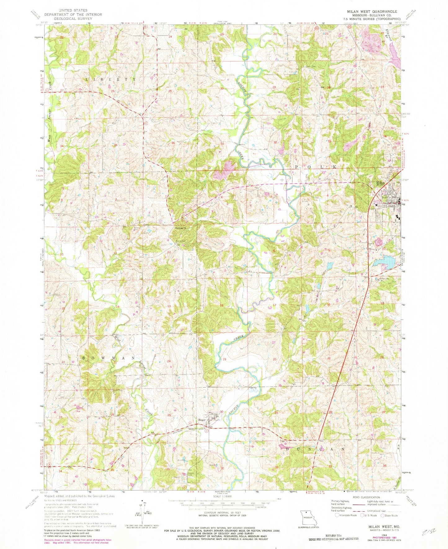
Classic USGS Milan West Missouri 7.5'x7.5' Topo Map
Couldn't load pickup availability
Historical USGS topographic quad map of Milan West in the state of Missouri. Map scale may vary for some years, but is generally around 1:24,000. Print size is approximately 24" x 27"
This quadrangle is in the following counties: Sullivan.
The map contains contour lines, roads, rivers, towns, and lakes. Printed on high-quality waterproof paper with UV fade-resistant inks, and shipped rolled.
Contains the following named places: Bogard-Cowgill Airport, Booth Lake, Booth Lake Dam, Detwilder Lake Dam, Detwiller Lake, Dickson Lake Dam, Eddys Lake Dam, Eggleston School, Forest Grove Park, Glaze Cemetery, Gose School, Henry Cemetery, Ischan Lake Dam, Lovell Cemetery, McClaskey School, Milan, Moggart School, Mount Vernon School, Pickering Lake Dam, Reger, Shatto Cemetery, Shatto Dam, Shatto Lake, Sterling School, Sullivan Church, Sullivan County Memorial Hospital, Wilhite Cemetery, Wilhite School, ZIP Code: 63556