MyTopo
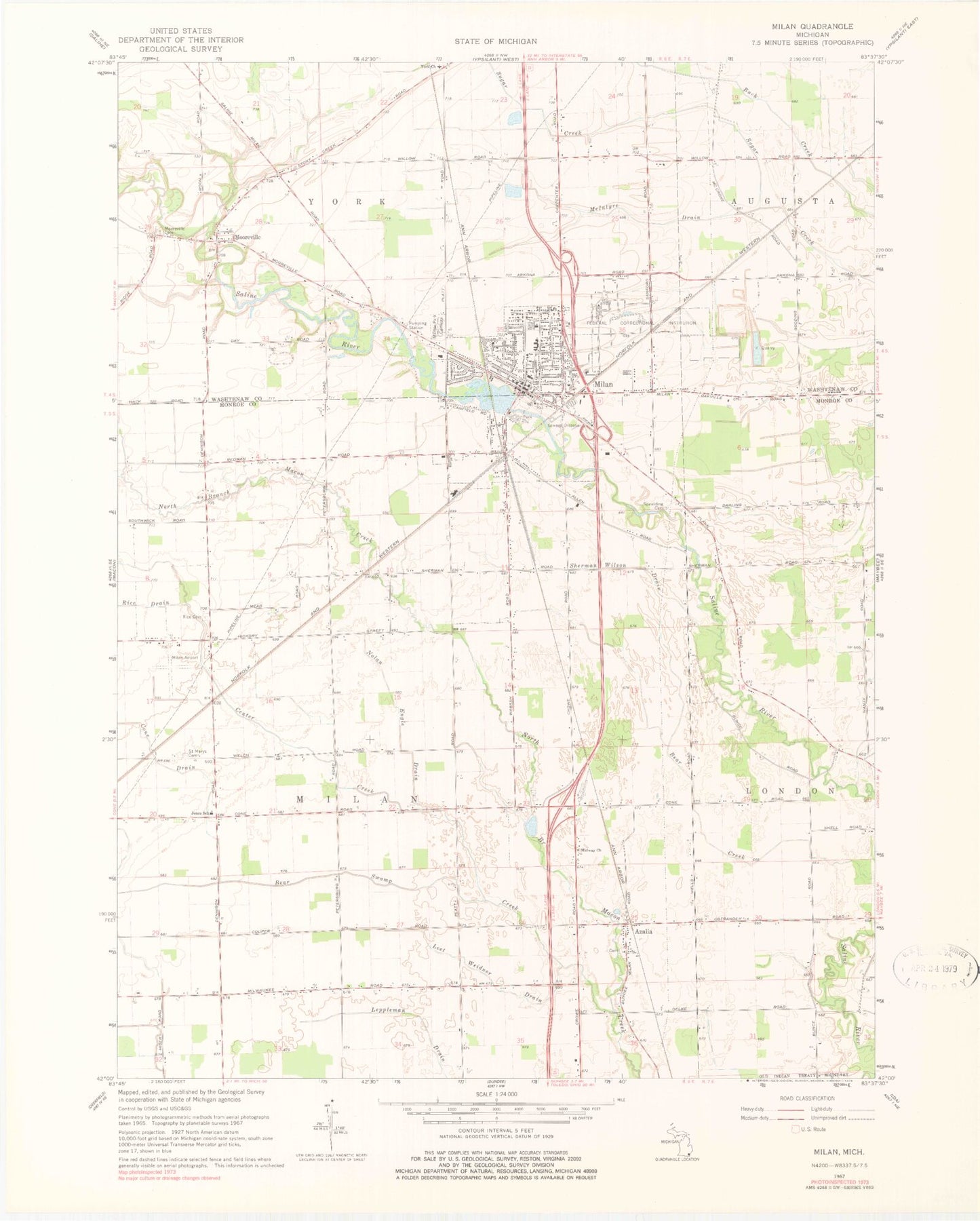
Classic USGS Milan Michigan 7.5'x7.5' Topo Map
Couldn't load pickup availability
Historical USGS topographic quad map of Milan in the state of Michigan. Map scale may vary for some years, but is generally around 1:24,000. Print size is approximately 24" x 27"
This quadrangle is in the following counties: Monroe, Washtenaw.
The map contains contour lines, roads, rivers, towns, and lakes. Printed on high-quality waterproof paper with UV fade-resistant inks, and shipped rolled.
Contains the following named places: Azalia, Azalia Methodist Cemetery, Azalia Post Office, Azalia Station, Bear Swamp Creek, Calvary Baptist Church, Center Creek, Church of Christ, City of Milan, Cone Drain, Federal Correctional Institution, Federal Correctional Institution Milan, Foodtown Shopping Center, Immaculate Conception Parish, Jehovah's Witnesses, Jones School, KC Campgrounds, Leet Weidner Drain, Marble Memorial United Methodist Church, Marble Park Cemetery, McIntyre Drain, Midway Church, Milan, Milan Airport, Milan Area Fire Department, Milan Baptist Church, Milan Family Practice, Milan Fire Department, Milan Free Methodist Church, Milan High School, Milan Middle School, Milan Police Department, Milan Post Office, Milan Public Library, Milan Station, Mooreville, Mooreville Cemetery, Nature Park, Nolan Engle Drain, Nora Post Office, Nora Station, Old Saint Mary's Cemetery, Paddock Elementary School, Peoples Presbyterian Church, Rice Cemetery, Rice Drain, Saint Paul's Lutheran Church, Sanford Road Park, Sherman Wilson Drain, Spaulding Cemetery, Symons Elementary School, Township of Milan, Vineyard Church of Milan, Wilson Park, York, York Post Office, ZIP Code: 48160