MyTopo
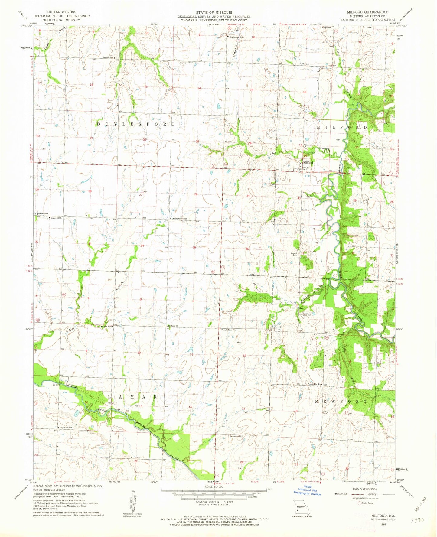
Classic USGS Milford Missouri 7.5'x7.5' Topo Map
Couldn't load pickup availability
Historical USGS topographic quad map of Milford in the state of Missouri. Map scale may vary for some years, but is generally around 1:24,000. Print size is approximately 24" x 27"
This quadrangle is in the following counties: Barton.
The map contains contour lines, roads, rivers, towns, and lakes. Printed on high-quality waterproof paper with UV fade-resistant inks, and shipped rolled.
Contains the following named places: Anderson School, Bethany Church, Cass Dam, Cass Lake, Charles Wood Dam, Cherry Grove School, City View School, Cold Branch, Cook Cemetery, Doylesport Cemetery, Doylesport School, Emberry Lake, Embery Lake Dam, Friendship School, Harmony School, Hopewell Church, Howell Cemetery, Hyder Branch, Milford, Milford School, Painter Branch, Prairie Rose School, Ring Branch, Summit School, Township of Doylesport, Valley School, Victory School, Village of Milford, Wood Lake, Wood Lake Dam