MyTopo
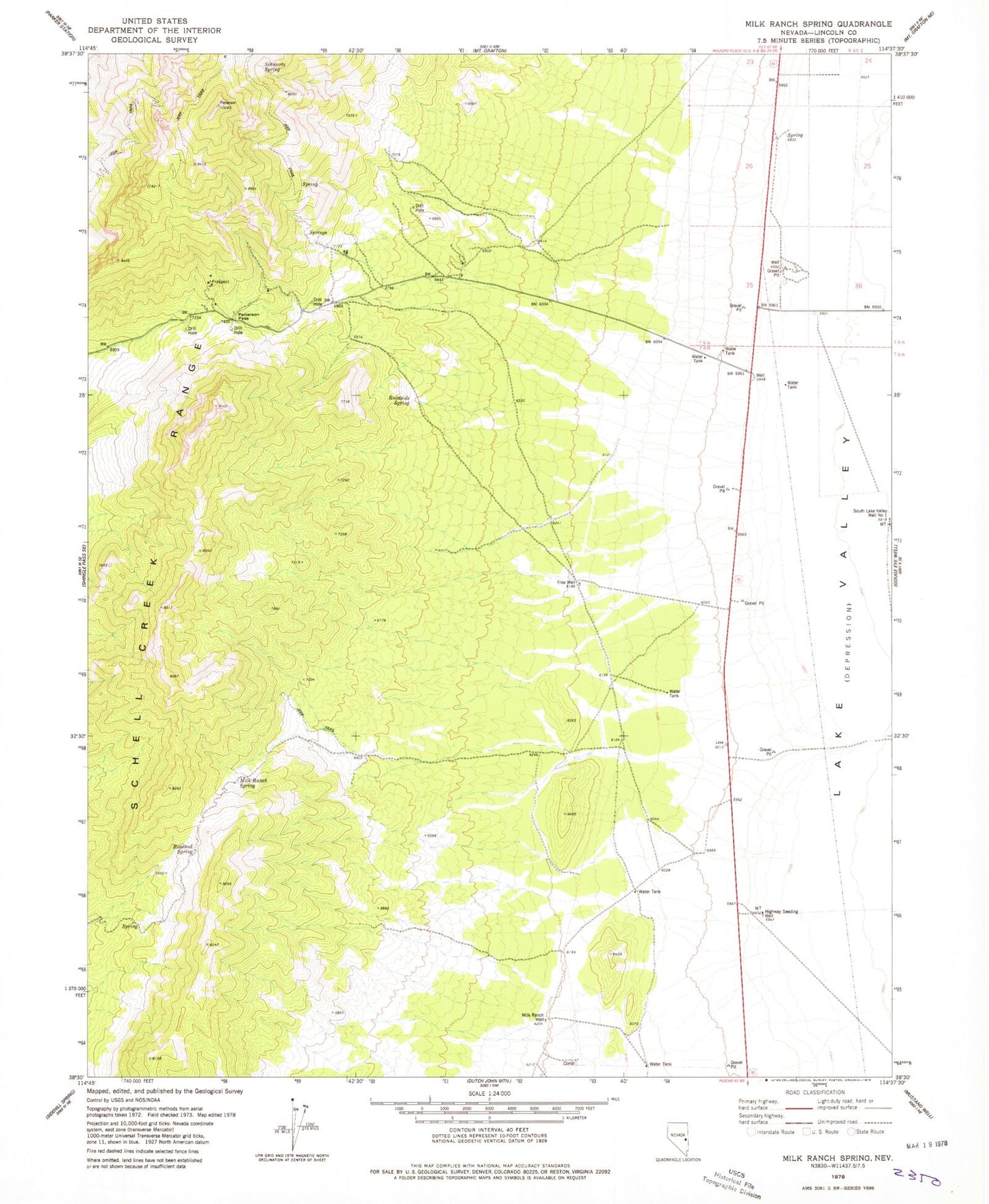
Classic USGS Milk Ranch Spring Nevada 7.5'x7.5' Topo Map
Couldn't load pickup availability
Historical USGS topographic quad map of Milk Ranch Spring in the state of Nevada. Map scale may vary for some years, but is generally around 1:24,000. Print size is approximately 24" x 27"
This quadrangle is in the following counties: Lincoln.
The map contains contour lines, roads, rivers, towns, and lakes. Printed on high-quality waterproof paper with UV fade-resistant inks, and shipped rolled.
Contains the following named places: Ad Mine, Antelope Spring, Cinch Mine, Free Well, Highway Seeding Well, Jerry Mine, Ledge Spring, Milk Ranch Spring, Milk Ranch Well, Montezuma, Montezuma Post Office, Mount Montezuma, Patterson, Patterson Mining District, Patterson Pass, Patterson Post Office, Pip Mine, Roadside Spring, Rosebud Spring, Schwartz Spring, South Lake Valley Well Number One, Upper Patterson Well