MyTopo
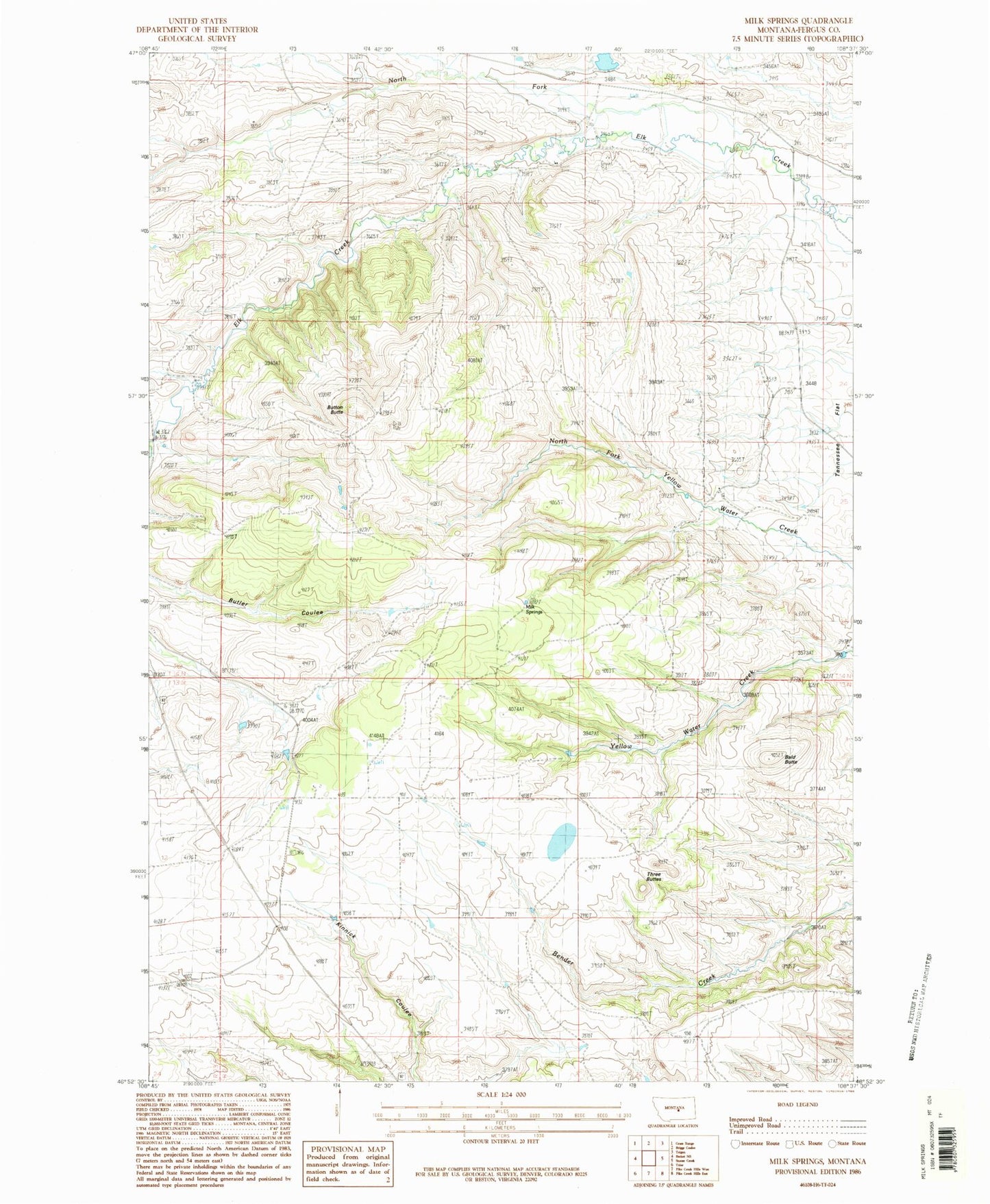
Classic USGS Milk Springs Montana 7.5'x7.5' Topo Map
Regular price
$16.95
Regular price
Sale price
$16.95
Unit price
per
Couldn't load pickup availability
Historical USGS topographic quad map of Milk Springs in the state of Montana. Map scale may vary for some years, but is generally around 1:24,000. Print size is approximately 24" x 27"
This quadrangle is in the following counties: Fergus.
The map contains contour lines, roads, rivers, towns, and lakes. Printed on high-quality waterproof paper with UV fade-resistant inks, and shipped rolled.
Contains the following named places: 14N24E10BBA_01 Well, Archer Number 2 Dam, Bald Butte, Battrick, Battrick Post Office, Battrick School, Button Butte, Hughes Junior Number 1 Dam, Kinnick School, Milk Springs, North Fork Elk Creek, Silver Brook School, Three Buttes