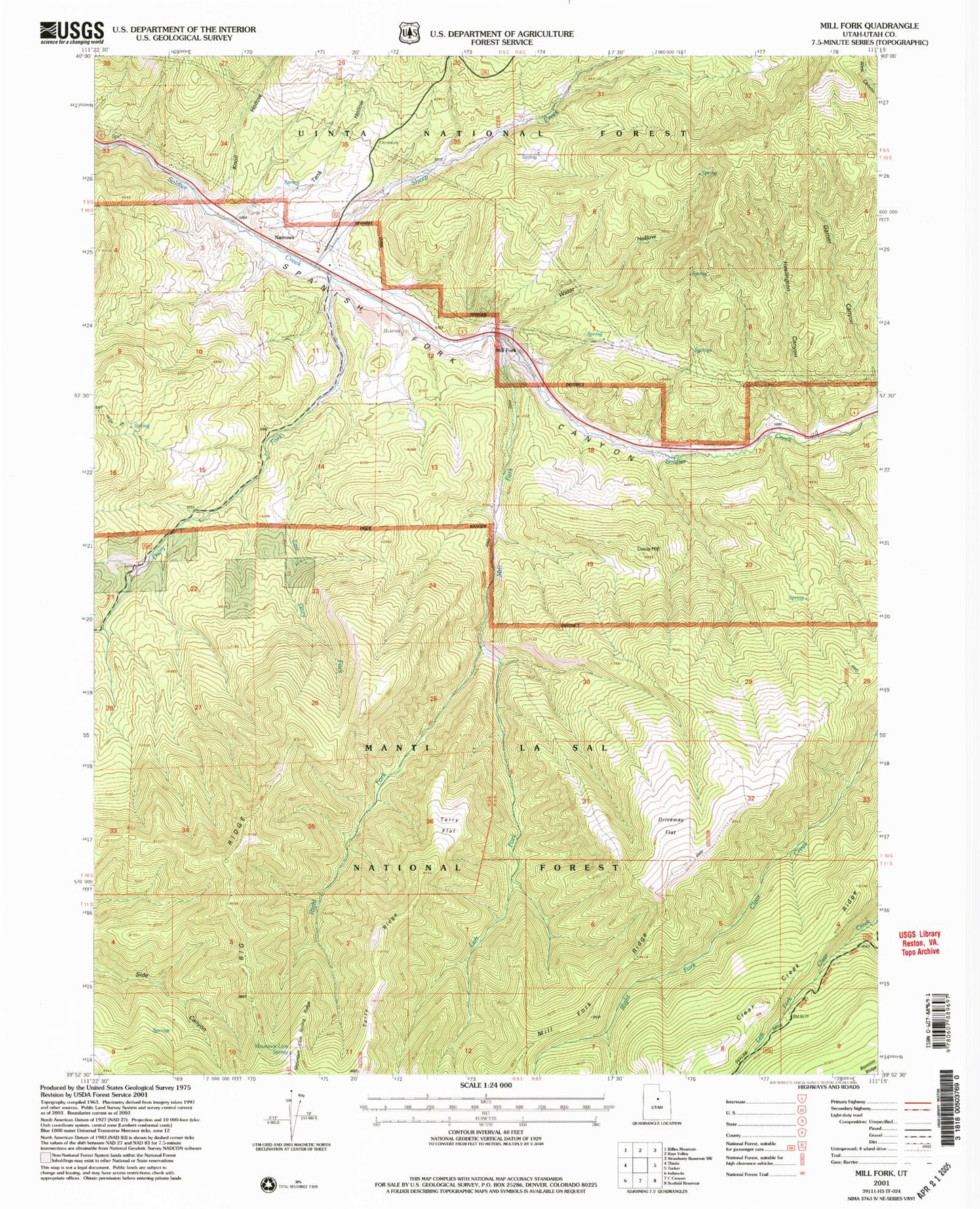

MyTopo
Classic USGS Mill Fork Utah 7.5'x7.5' Topo Map
Couldn't load pickup availability
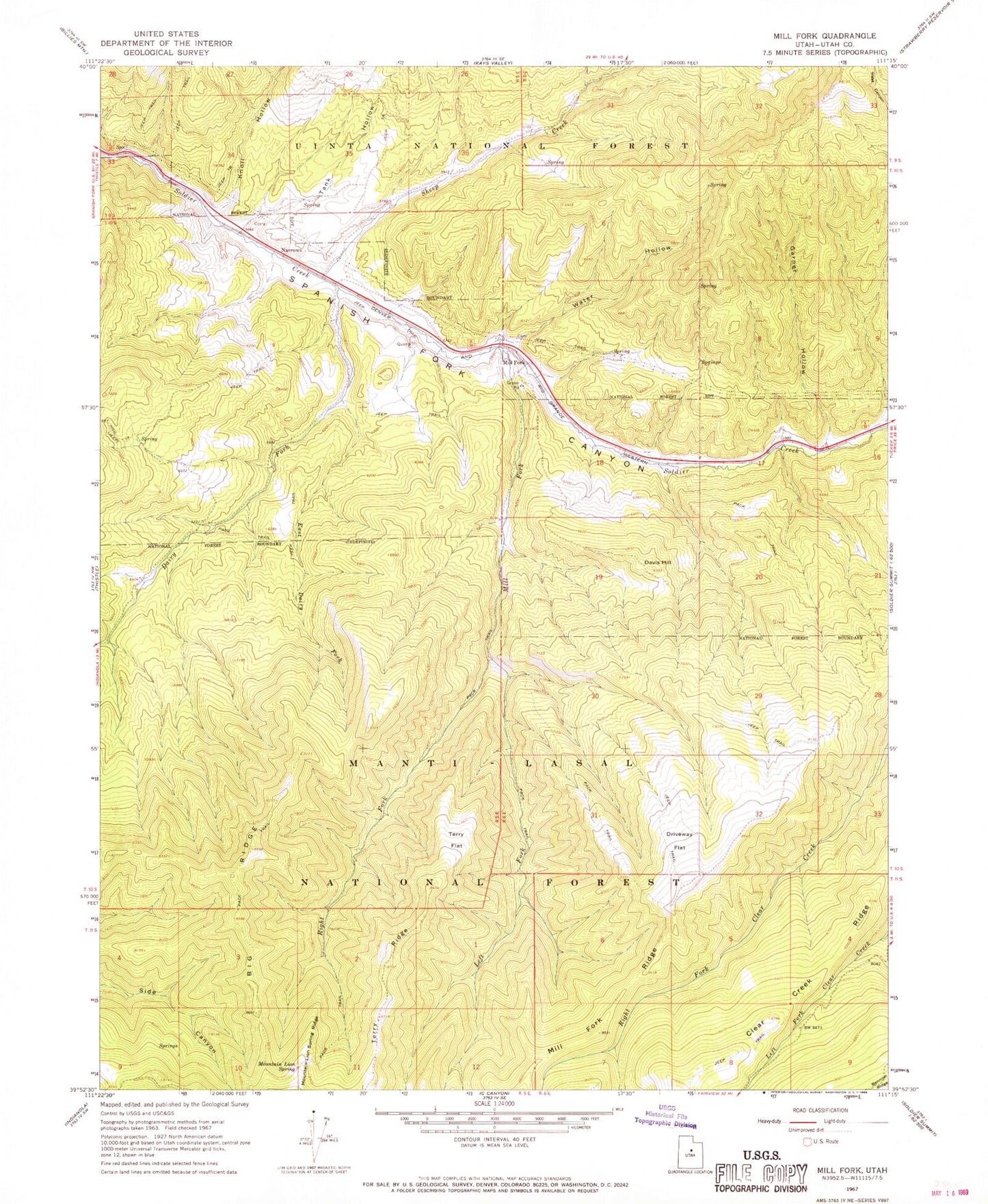
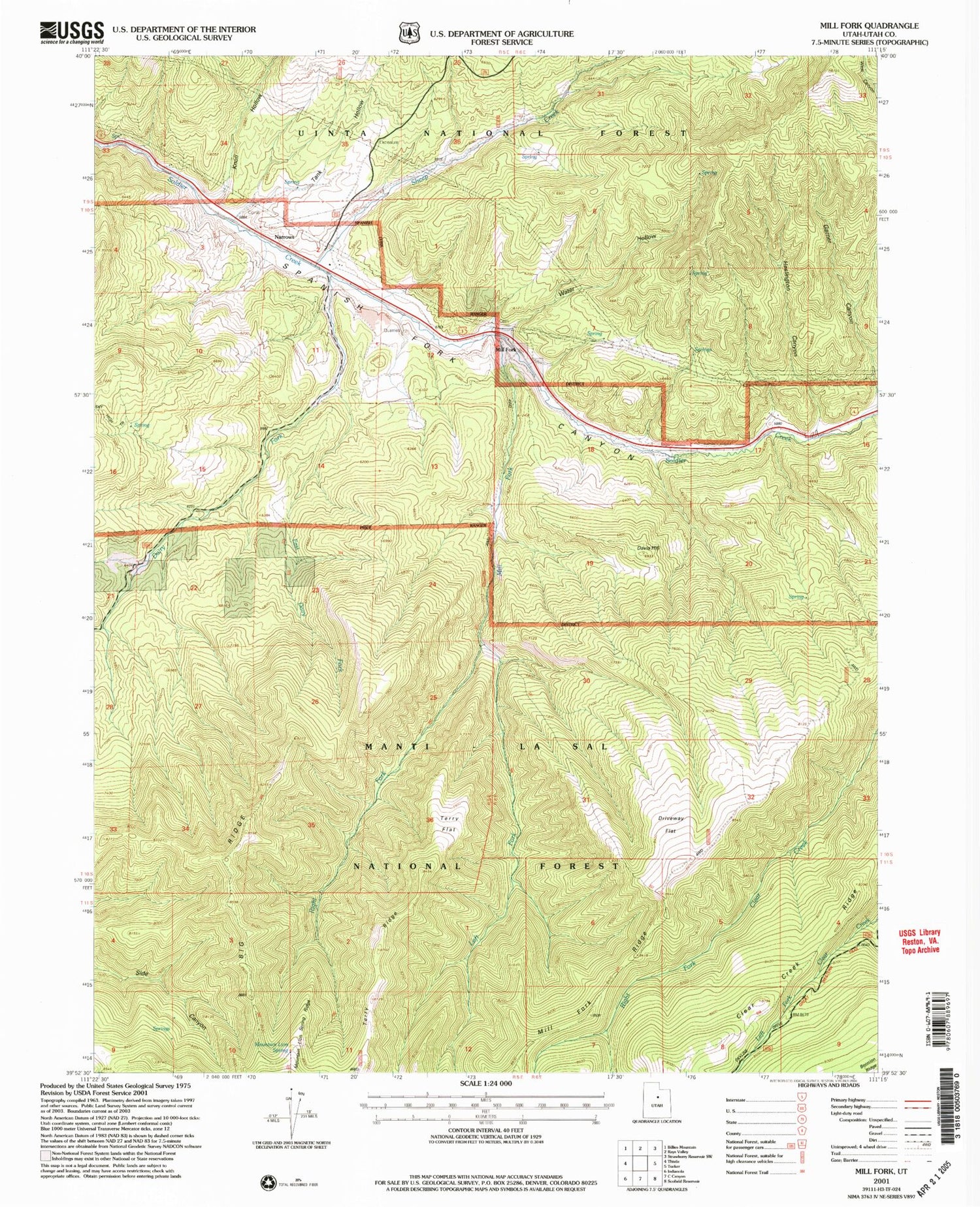
Historical USGS topographic quad map of Mill Fork in the state of Utah. Map scale may vary for some years, but is generally around 1:24,000. Print size is approximately 24" x 27"
This quadrangle is in the following counties: Utah.
The map contains contour lines, roads, rivers, towns, and lakes. Printed on high-quality waterproof paper with UV fade-resistant inks, and shipped rolled.
Contains the following named places: Big Ridge, Dairy Fork, Dairy Fork Wildlife Management Area, Davis Hill, Driveway Flat, East Dairy Fork, Garner Canyon, Heslington Canyon, Knoll Hollow, Left Fork Mill Fork, Mill Fork, Mill Fork Cemetery, Mountain Lion Spring, Mountain Lion Spring Ridge, Narrows, Right Fork Mill Fork, Sheep Creek, Tank Hollow, Terry Flat, Water Hollow, Wheeler Sawmill Canyon