MyTopo
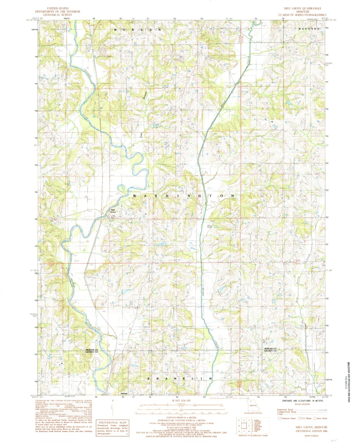
Classic USGS Mill Grove Missouri 7.5'x7.5' Topo Map
Couldn't load pickup availability
Historical USGS topographic quad map of Mill Grove in the state of Missouri. Map scale may vary for some years, but is generally around 1:24,000. Print size is approximately 24" x 27"
This quadrangle is in the following counties: Grundy, Mercer.
The map contains contour lines, roads, rivers, towns, and lakes. Printed on high-quality waterproof paper with UV fade-resistant inks, and shipped rolled.
Contains the following named places: Akers Lake, Akers Lake Dam, Antioch Church, Cain Branch, Calvert School, Constable Lake, Constable Lake Dam, Coon Cemetery, Coon Church, Crowder Lake, Crowder Lake Dam, East High Point School, East Pine School, Franklin School, Groff Cemetery, John Williams Cemetery, Lone Star School, Middleberry Cemetery, Mill Grove, Oak School, Pemberton Cemetery, Pine Cemetery, Salem Cemetery, Township of Washington, Trussell Cemetery, Victor School, West Pine School, Whitt Lake, Whitt Lake Dam, Wilds School, Wyatt Cemetery, ZIP Code: 64673