MyTopo
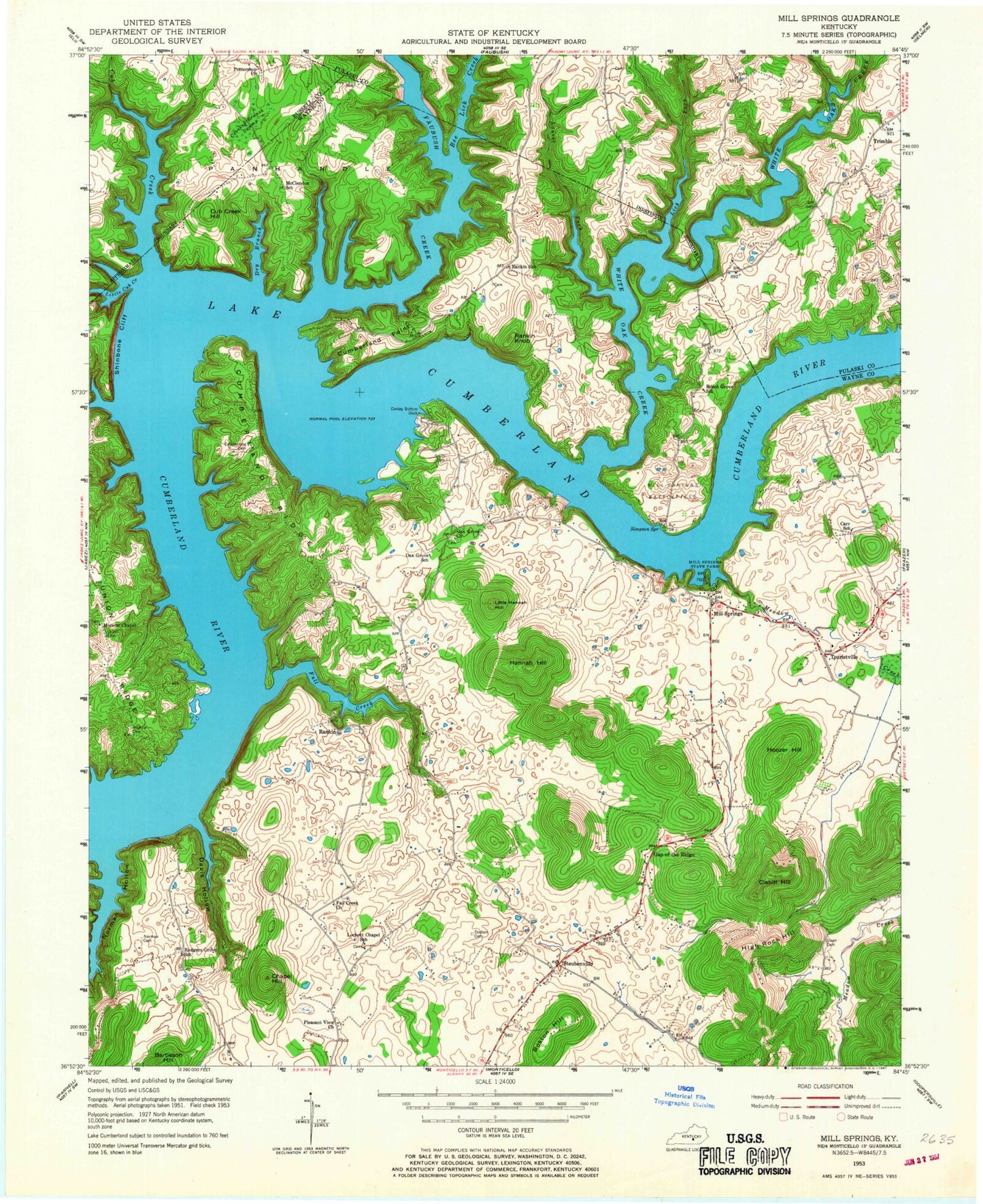
Classic USGS Mill Springs Kentucky 7.5'x7.5' Topo Map
Couldn't load pickup availability
Historical USGS topographic quad map of Mill Springs in the state of Kentucky. Typical map scale is 1:24,000, but may vary for certain years, if available. Print size: 24" x 27"
This quadrangle is in the following counties: Pulaski, Russell, Wayne.
The map contains contour lines, roads, rivers, towns, and lakes. Printed on high-quality waterproof paper with UV fade-resistant inks, and shipped rolled.
Contains the following named places: Bee Lick Creek, Boston Hill, Chapel Hill, Clebitt Hill, Cub Creek Hill, Conley Bottom Dock, Cub Creek, Cumberland Cemetery, Cumberland Point, Cumberland Point Recreation Area, Cumberland Ridge, Davis Hollow, Daws Ridge, Dodson Cemetery, Dry Branch, Fall Creek, Fall Creek Church, Fall Creek Recreation Area, Faubush Creek, Gap of the Ridge, Hannah Hill, High Rock Hill, Hoozer Hill, Laurel Fork, Lick Fork, Little Cub Creek, Little Hannah Hill, Lockett Chapel, Meadow Creek, Mill Springs, Mill Springs State Park, Morrow Cemetery, Morrow Chapel, Norman Cemetery, Norman Hollow, Oak Grove Church, Panhandle, Pleasant View Church, Pottershop Church, Rankin Knob, Roger Grove Church, Shinbone Cliff, Simpson Spring, Sloan Cemetery, Smith Cemetery, Steubenville, Stillhouse Hollow, White Oak Creek, Rankin, Touristville, Mill Springs Division, Onion Point


