MyTopo
Classic USGS Millard Mississippi 7.5'x7.5' Topo Map
Couldn't load pickup availability
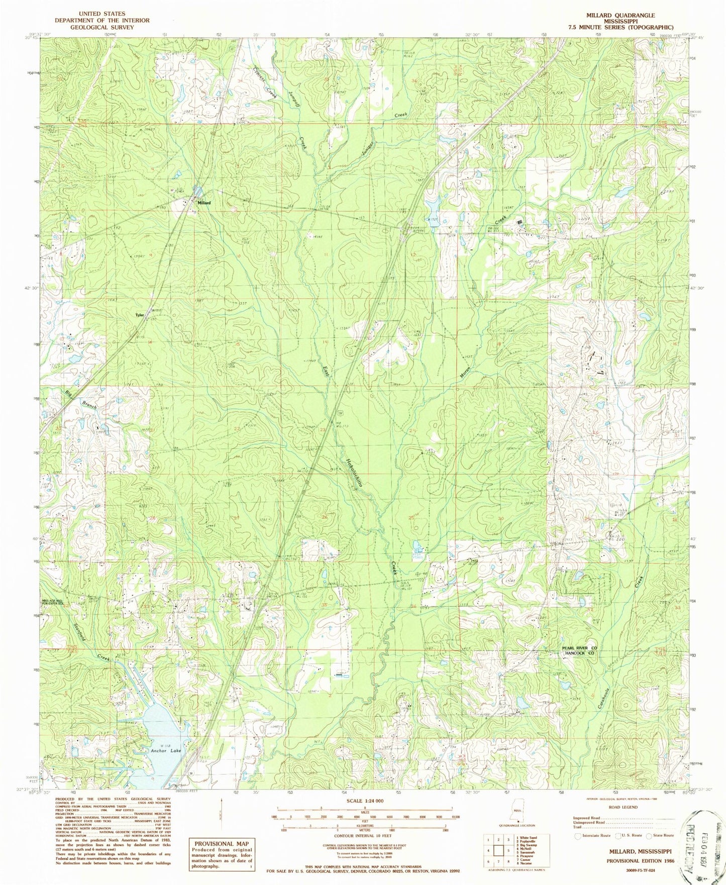
Historical USGS topographic quad map of Millard in the state of Mississippi. Map scale may vary for some years, but is generally around 1:24,000. Print size is approximately 24" x 27"
This quadrangle is in the following counties: Hancock, Pearl River.
The map contains contour lines, roads, rivers, towns, and lakes. Printed on high-quality waterproof paper with UV fade-resistant inks, and shipped rolled.
Contains the following named places: Anchor Lake, Anchor Lake Dam, Carriere Volunteer Fire Department Station 4 Anchor Lake, Centre, Cypress Creek, Harts Chapel, Jumpoff Creek, Juniper Creek, Martin Cemetery, Millard, Moran Creek, Rolling Hills Baptist Chapel Church, Spiers Cemetery, Stecil Smith Lake Dam, Tyler