MyTopo
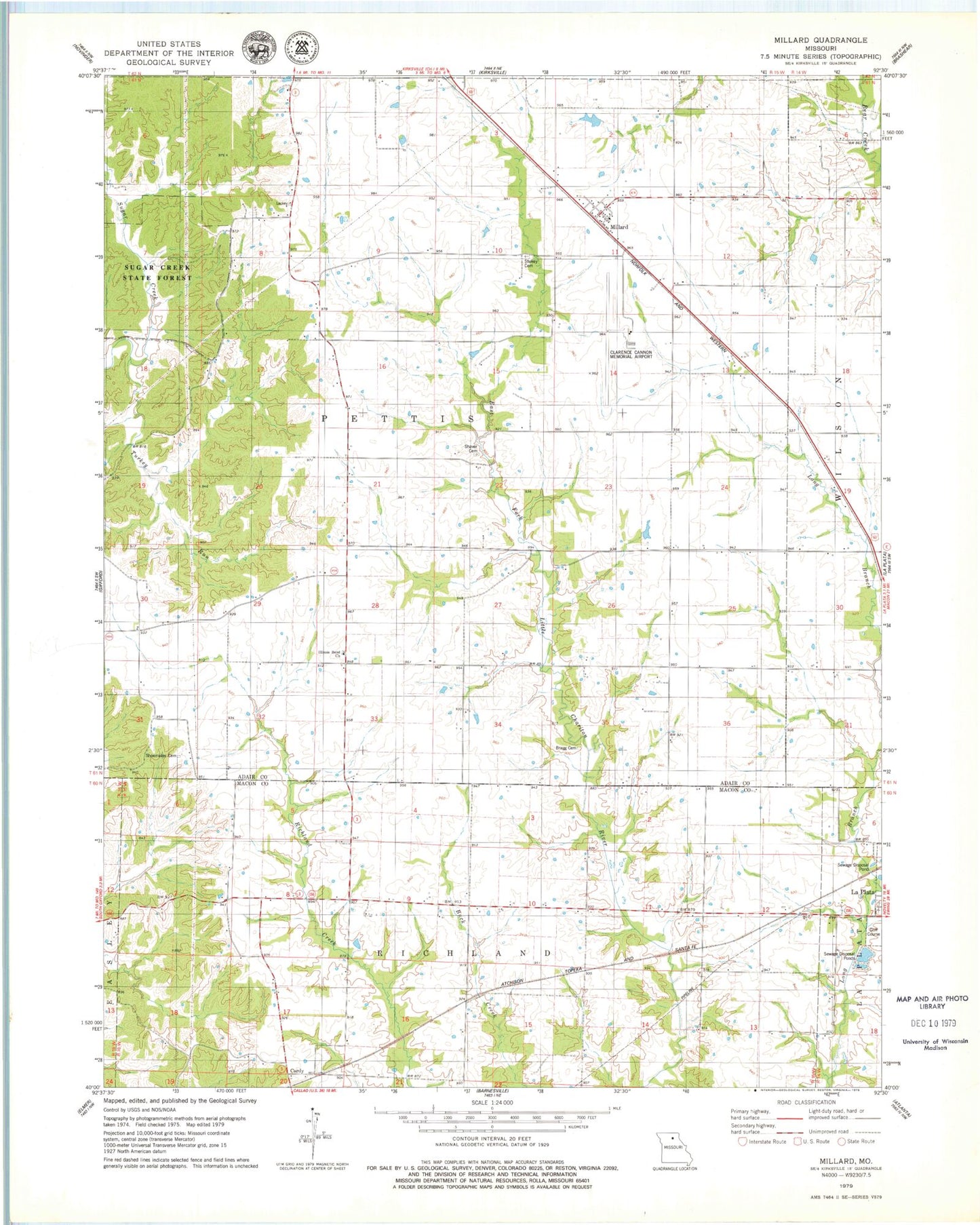
Classic USGS Millard Missouri 7.5'x7.5' Topo Map
Couldn't load pickup availability
Historical USGS topographic quad map of Millard in the state of Missouri. Map scale may vary for some years, but is generally around 1:24,000. Print size is approximately 24" x 27"
This quadrangle is in the following counties: Adair, Macon.
The map contains contour lines, roads, rivers, towns, and lakes. Printed on high-quality waterproof paper with UV fade-resistant inks, and shipped rolled.
Contains the following named places: Bragg Cemetery, Cardy, Center School, Dart, Dover School, Illinois Bend Church, Illinois Bend School, Kirksville Regional Airport, Kohlmyre School, La Crosse Post Office, Millard, Newburg School, Prairie View School, Seibert School, Shaver Cemetery, Shoemaker Cemetery, Stukey Cemetery, Swingle Lake Dam, Township of Pettis, Turkey Run, Village of Millard, Wyaconda Hills