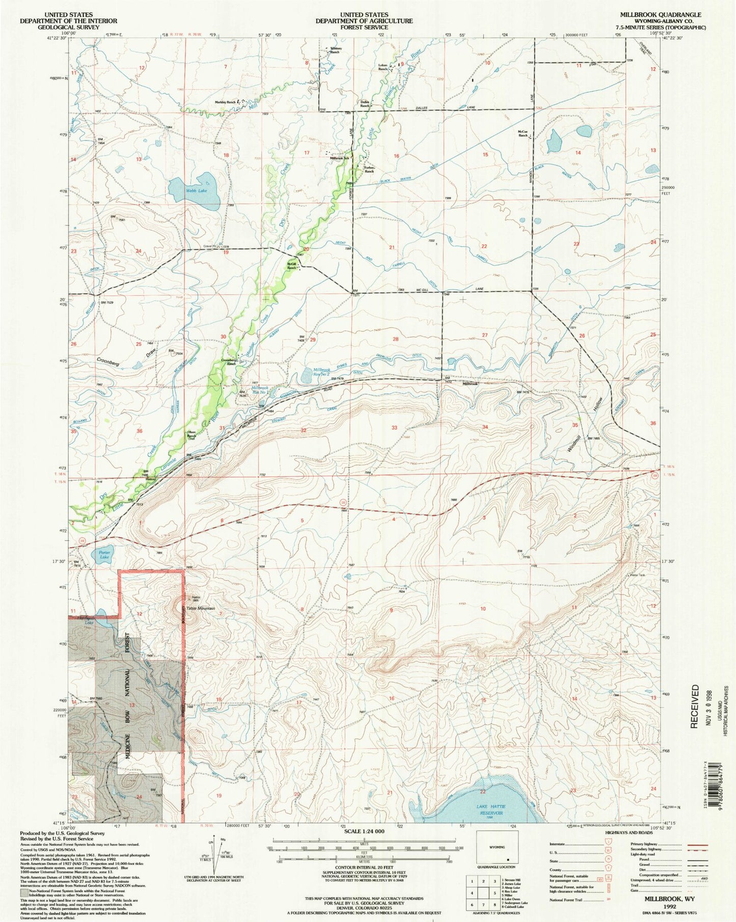
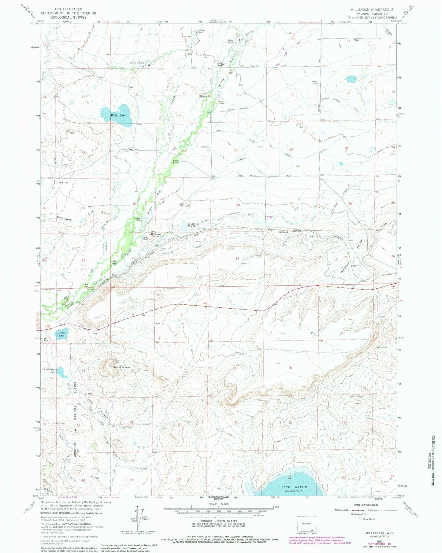
MyTopo
Classic USGS Millbrook Wyoming 7.5'x7.5' Topo Map
Couldn't load pickup availability
Historical USGS topographic quad map of Millbrook in the state of Wyoming. Map scale may vary for some years, but is generally around 1:24,000. Print size is approximately 24" x 27"
This quadrangle is in the following counties: Albany.
The map contains contour lines, roads, rivers, towns, and lakes. Printed on high-quality waterproof paper with UV fade-resistant inks, and shipped rolled.
Contains the following named places: Albany Ditch, Black Water Ditch, Croonberg Draw, Croonberg Ranch, Dalles Ranch, Dry Creek, Forbes Ranch, Hardigan Lake, Harran Ditch, Hatton, Hecht and Ferrall Ditch, John McCreary Ditch, Lake Hattie Supply Ditch Number 2, Loban Ranch, Mammoth Ditch, Markley Ranch, McCue Ranch, McGill Ranch, Meadow Creek, Millbrook, Millbrook Number 2 Dam, Millbrook Reservoir Number One, Millbrook Reservoir Number Two, Millbrook School, Olson Ranch, Porter Lake, Stewart Canal, Symes and Deerlove Ditch, Table Mountain, Table Mountain Ditch, Webb Lake, Whitney Ranch, Windmill Hollow