MyTopo
Classic USGS Millecoquins Michigan 7.5'x7.5' Topo Map
Couldn't load pickup availability
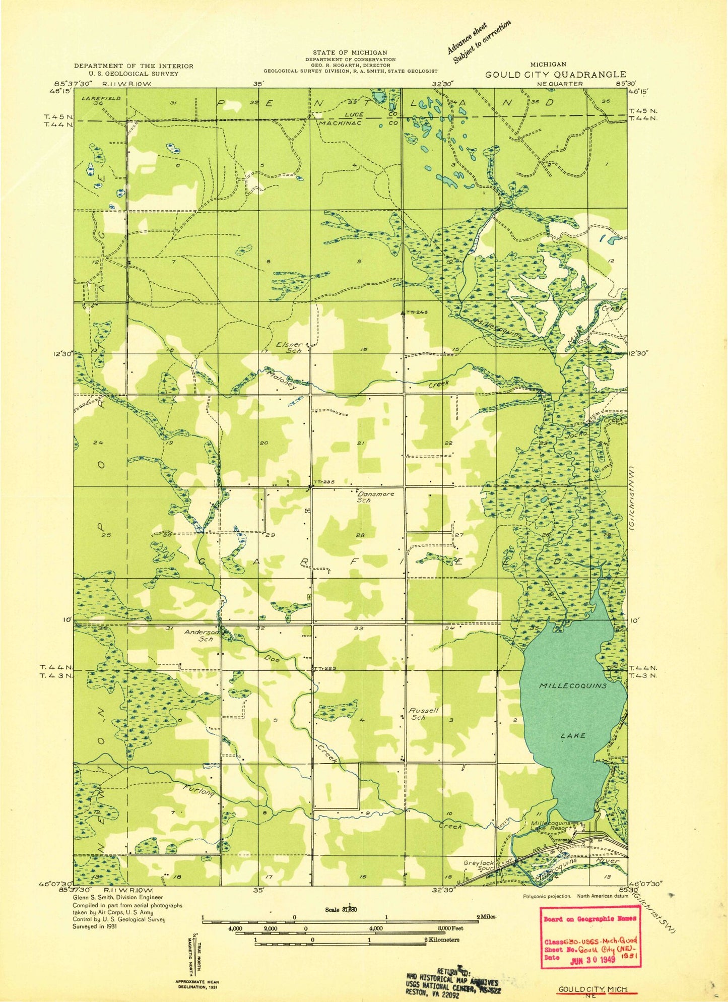
Historical USGS topographic quad map of Millecoquins in the state of Michigan. Map scale may vary for some years, but is generally around 1:24,000. Print size is approximately 24" x 27"
This quadrangle is in the following counties: Luce, Mackinac.
The map contains contour lines, roads, rivers, towns, and lakes. Printed on high-quality waterproof paper with UV fade-resistant inks, and shipped rolled.
Contains the following named places: Bethlehem Church, Bethlehem Lutheran Cemetery, Chases Point, Cold Creek, Doe Creek, Furlong Creek, Hagler Creek, Harris Creek, Jocko Creek, Maloney Creek, McAlpine Creek, McAlpine Pond, Milk Creek, Millecoquins, Millecoquins Lake, Millecoquins Pond, Skunk Creek, Upper Millecoquins River, ZIP Code: 49827