MyTopo
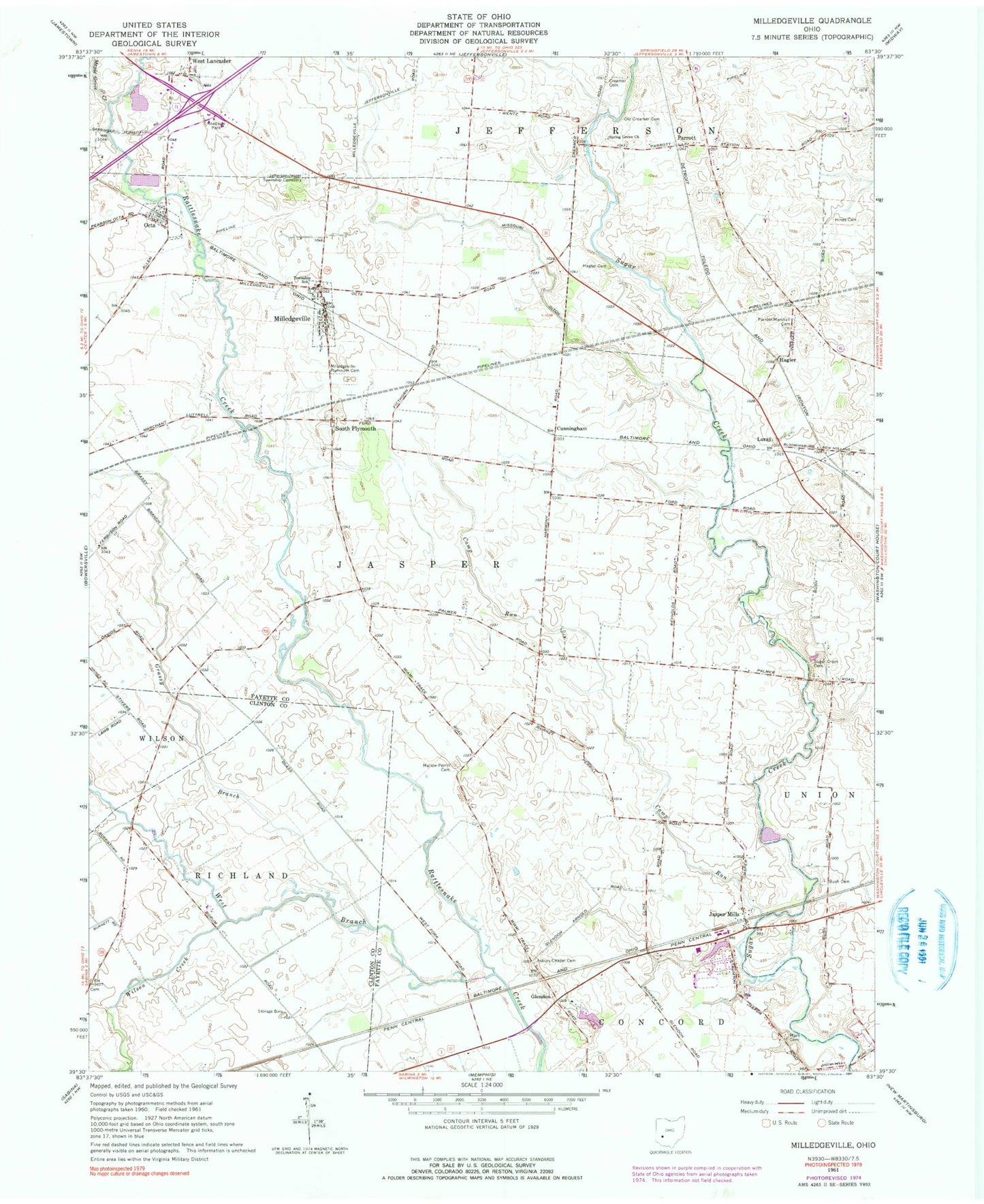
Classic USGS Milledgeville Ohio 7.5'x7.5' Topo Map
Couldn't load pickup availability
Historical USGS topographic quad map of Milledgeville in the state of Ohio. Map scale may vary for some years, but is generally around 1:24,000. Print size is approximately 24" x 27"
This quadrangle is in the following counties: Clinton, Fayette.
The map contains contour lines, roads, rivers, towns, and lakes. Printed on high-quality waterproof paper with UV fade-resistant inks, and shipped rolled.
Contains the following named places: Asbury Chapel Cemetery, Belleview School, Blackoak School, Buck School, Bush Cemetery, Camp Run, Coil Cemetery, Crabapple School, Creamer Airpark, Creamer Cemetery, Creamer Church, Creamer School, Cunningham, Doan Cemetery, Glendon, Glendon School, Grandview School, Grassy Branch, Hagler, Hagler Cemetery, Hagler Post Office, Hines Cemetery, Jasper Elementary School, Jasper Mills, Jasper School, Jefferson - Jasper Township Cemetery, Lone Elm School, Luray, Mallon School, Mallow-Perrill Cemetery, Maple Grove Creek, Mark Cemetery, Milledgeville, Milledgeville - Plymouth Cemetery, Milledgeville Post Office, Milledgeville United Methodist Church, Missouri Ditch, Octa, Octa Methodist Episcopal Church, Octa Post Office, Old Creamer Cemetery, Parrott, Parrott - Marshall Cemetery, Parrott Post Office, Plymouth School, Rhonemus Branch, School Number 13, School Number 19, School Number 5, South Plymouth, Spring Grove United Methodist Church, Sugar Creek Cemetery, Township of Jasper, Village of Milledgeville, Village of Octa, West Branch Rattlesnake Creek, West Lancaster, West Lancaster Post Office, Wilson Creek, ZIP Code: 43142