MyTopo
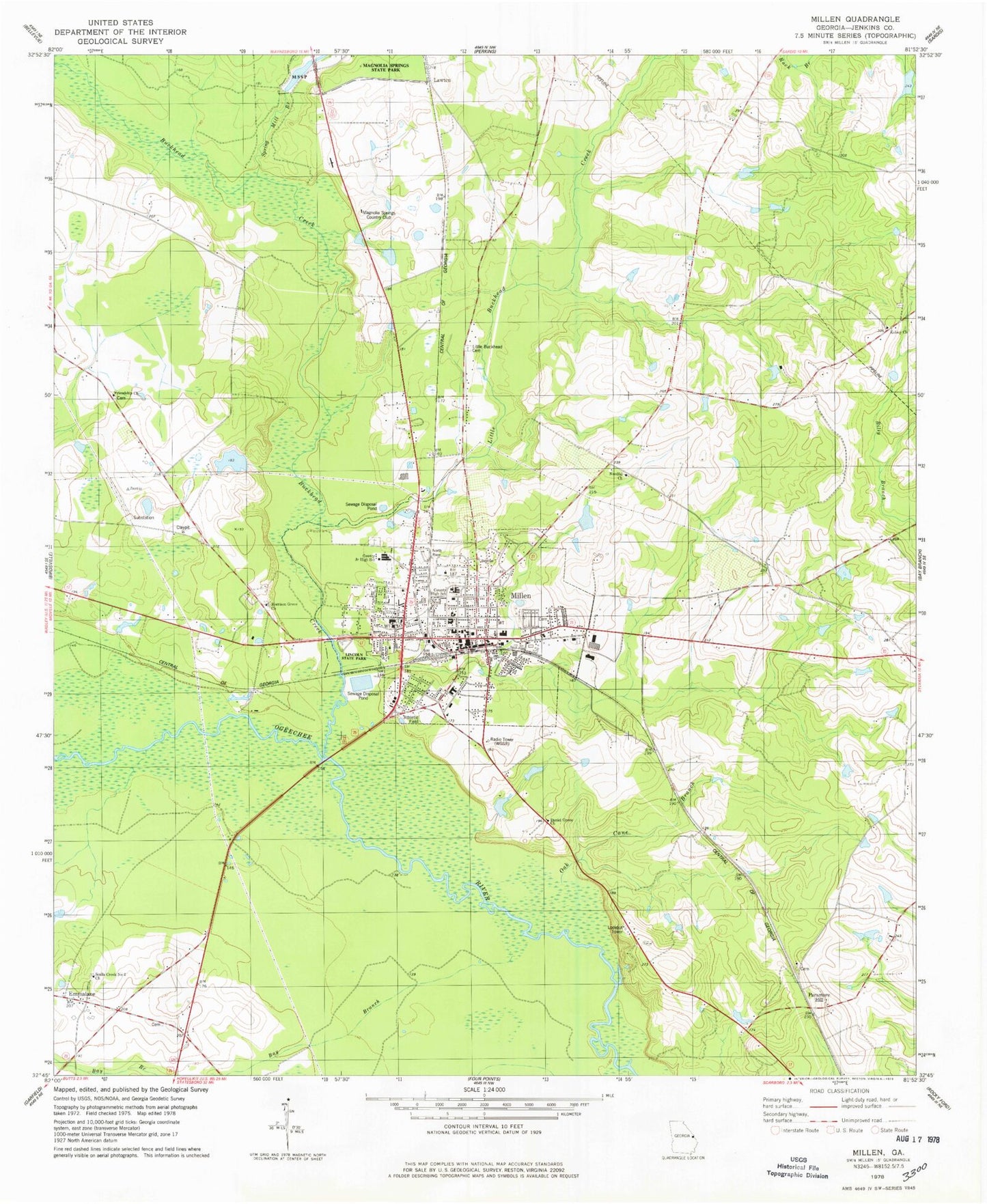
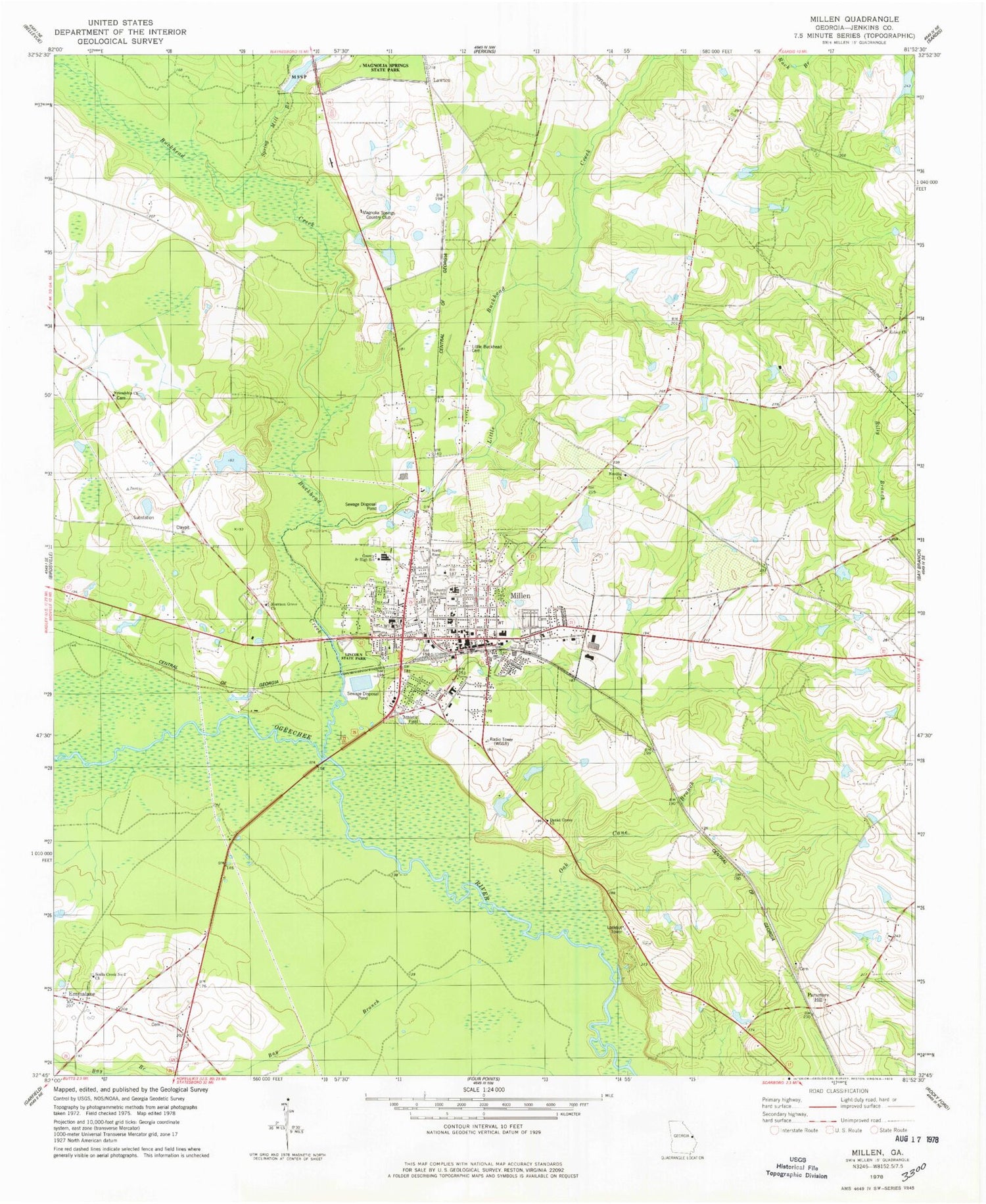
Classic USGS Millen Georgia 7.5'x7.5' Topo Map
Couldn't load pickup availability
Historical USGS topographic quad map of Millen in the state of Georgia. Map scale may vary for some years, but is generally around 1:24,000. Print size is approximately 24" x 27"
This quadrangle is in the following counties: Jenkins.
The map contains contour lines, roads, rivers, towns, and lakes. Printed on high-quality waterproof paper with UV fade-resistant inks, and shipped rolled.
Contains the following named places: Bay Branch, Bethel Methodist Episcopal Church, Buckhead Creek, Christian Endeavor Hall, City of Millen, Daniel Grove Church, Davis Lake, Davis Lake Dam, Emmalane, First Baptist Church, Friendship Church, Friendship School, Jenkins Correctional Facility, Jenkins County, Jenkins County Courthouse, Jenkins County Elementary School, Jenkins County High School, Jenkins County Hospital, Jenkins County Jail, Jenkins County Middle School, Jenkins County Primary School, Jenkins County Sheriff's Office, Kelsey Church, Kelsey School, Lane Cemetery, Lawton, Lincoln State Park, Little Buckhead Cemetery, Little Buckhead Church, Little Buckhead Creek, Little Buckhead School, Magnolia Springs Country Club, Millen, Millen Baptist Church, Millen City Hall, Millen Division, Millen Fire Department, Millen Hospital, Millen Police Department, Millen Post Office, Millen View Lake, Millen View Lake Dam, Morrison Grove Church, Mulkey Hospital, Needful Church, Needful School, Oak Cane Branch, Old Fort Lawton, Paramore Hill, Rosenwald School, Sculls Creek Number 2 Church, South Millen, Spring Mill Branch, West Millen Baptist Church, WGSR-AM (Millen), Zion Baptist Church, Zion Church, ZIP Code: 30442


