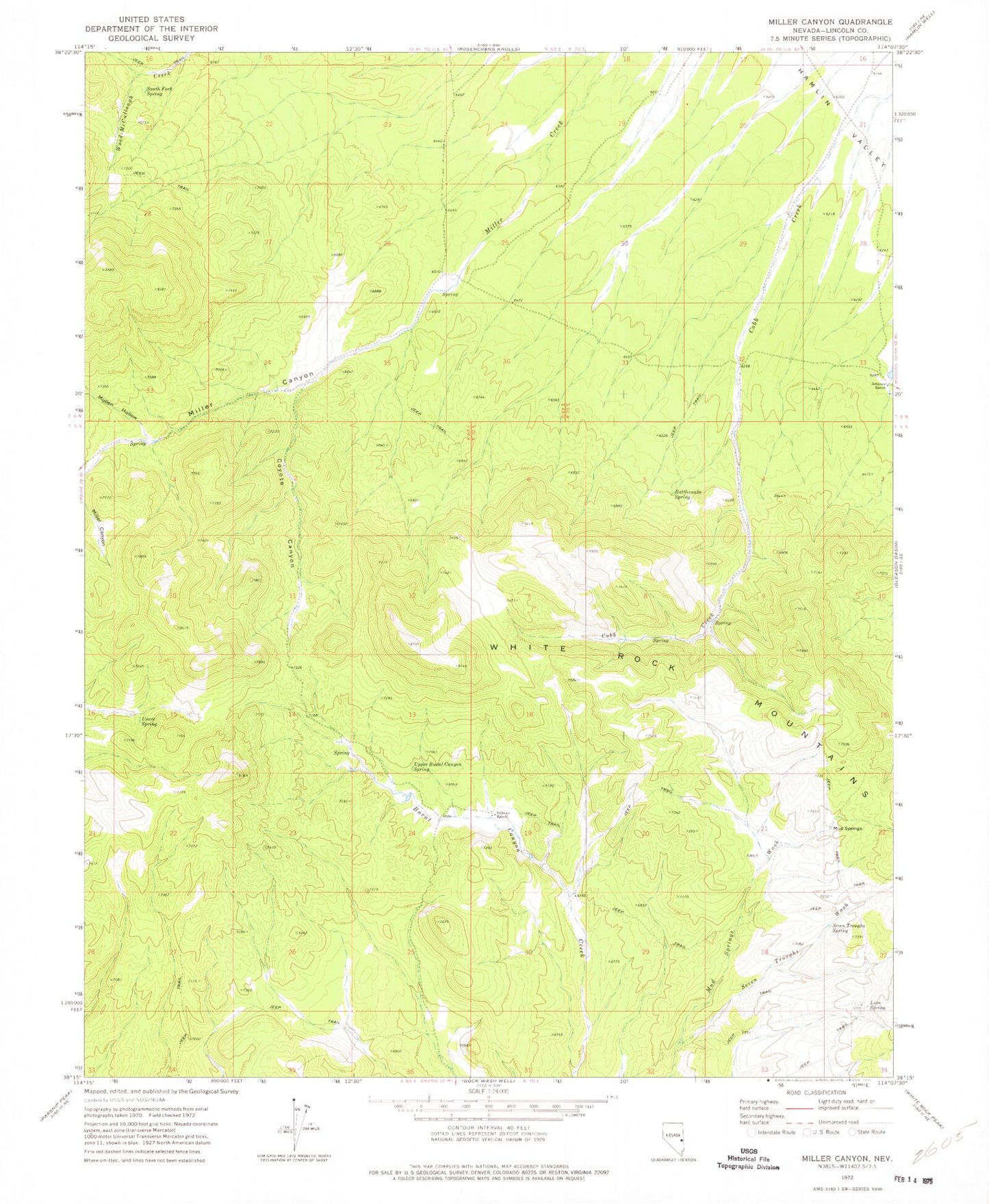
MyTopo
Classic USGS Miller Canyon Nevada 7.5'x7.5' Topo Map
Regular price
$16.95
Regular price
Sale price
$16.95
Unit price
per
Couldn't load pickup availability
Historical USGS topographic quad map of Miller Canyon in the state of Nevada. Typical map scale is 1:24,000, but may vary for certain years, if available. Print size: 24" x 27"
This quadrangle is in the following counties: Lincoln.
The map contains contour lines, roads, rivers, towns, and lakes. Printed on high-quality waterproof paper with UV fade-resistant inks, and shipped rolled.
Contains the following named places: Mutton Hollow, Coyote Canyon, Johnson Ranch, Lion Spring, Rattlesnake Spring, Seven Troughs Spring, South Fork Spring, Upper Burnt Canyon Spring, Usave Spring, Miller Canyon, Seven Troughs Wash, Delmue Ranch, Millard Canyon Reservoir, Coyote Spring, Mud Spring, Mud Springs