MyTopo
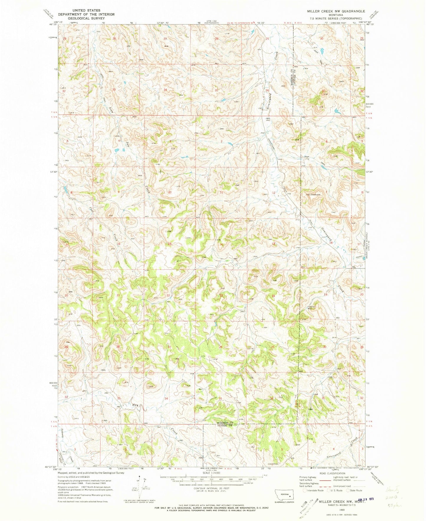
Classic USGS Miller Creek NW Montana 7.5'x7.5' Topo Map
Regular price
$16.95
Regular price
Sale price
$16.95
Unit price
per
Couldn't load pickup availability
Historical USGS topographic quad map of Miller Creek NW in the state of Montana. Map scale may vary for some years, but is generally around 1:24,000. Print size is approximately 24" x 27"
This quadrangle is in the following counties: Custer, Rosebud.
The map contains contour lines, roads, rivers, towns, and lakes. Printed on high-quality waterproof paper with UV fade-resistant inks, and shipped rolled.
Contains the following named places: 05N44E22DBBC01 Well, 05N44E35BCAC01 Well, 06N44E25DCBA01 Well, 06N44E36CACD01 Well, 06N44E36CACD02 Well, 06N44E36CACD03 Well, Crabtree Post Office, Hook Number 72 Dam, Horton Hollow